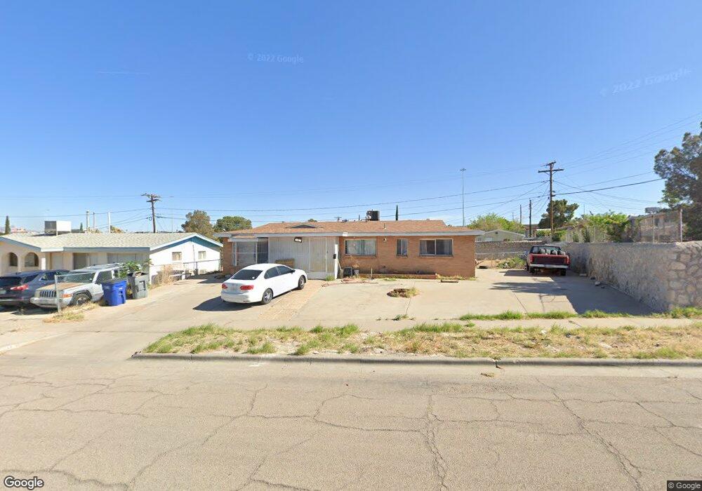
7211 Raton Dr El Paso, TX 79915
Ranchland West NeighborhoodEstimated Value: $145,000 - $199,000
--
Bed
2
Baths
1,208
Sq Ft
$140/Sq Ft
Est. Value
About This Home
This home is located at 7211 Raton Dr, El Paso, TX 79915 and is currently estimated at $169,653, approximately $140 per square foot. 7211 Raton Dr is a home located in El Paso County with nearby schools including Bel Air Middle, Bel Air High School, and Immanuel Christian School.
Create a Home Valuation Report for This Property
The Home Valuation Report is an in-depth analysis detailing your home's value as well as a comparison with similar homes in the area
Home Values in the Area
Average Home Value in this Area
Tax History Compared to Growth
Tax History
| Year | Tax Paid | Tax Assessment Tax Assessment Total Assessment is a certain percentage of the fair market value that is determined by local assessors to be the total taxable value of land and additions on the property. | Land | Improvement |
|---|---|---|---|---|
| 2025 | $3,710 | $161,045 | $36,770 | $124,275 |
| 2024 | $3,710 | $135,071 | $16,714 | $118,357 |
| 2023 | $3,842 | $132,001 | $16,714 | $115,287 |
| 2022 | $3,652 | $117,610 | $16,714 | $100,896 |
| 2021 | $3,035 | $93,368 | $16,714 | $76,654 |
| 2020 | $2,566 | $81,248 | $16,714 | $64,534 |
| 2018 | $2,478 | $79,692 | $16,402 | $63,290 |
| 2017 | $2,293 | $75,012 | $16,402 | $58,610 |
| 2016 | $2,293 | $75,012 | $16,402 | $58,610 |
| 2015 | $2,155 | $75,012 | $16,402 | $58,610 |
| 2014 | $2,155 | $75,311 | $16,402 | $58,909 |
Source: Public Records
Map
Nearby Homes
- 7204 Benson Dr
- 7315 Mojave Dr
- 7403 Mojave Dr
- 15161 Target Ave
- 1124 Hunter Dr
- 9525 Desert Ridge Dr
- 1121 Belen Rd
- 9674 Stonehaven Dr
- 8536 Morley Dr
- 9500 Mcintosh Dr
- 9605 Montwood Dr
- 8704 Darlina Dr
- 7113 Dale Rd
- 7564 Matamoros Dr
- 9801 Eastridge Dr
- 8309 Moye Dr
- 7229 Stiles Dr
- 2425 Fir St
- 2636 Prestwick Rd
- 7534 Taxco Dr