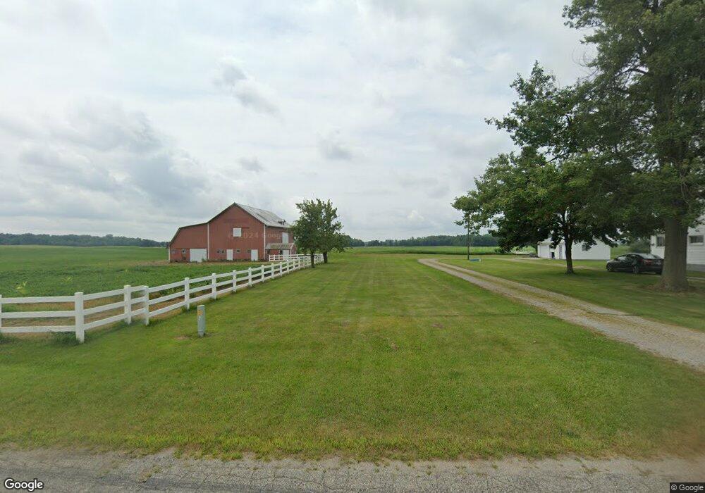
7211 Sampson Rd Camden, MI 49232
Estimated Value: $308,000 - $695,426
--
Bed
--
Bath
1,120
Sq Ft
$448/Sq Ft
Est. Value
About This Home
This home is located at 7211 Sampson Rd, Camden, MI 49232 and is currently estimated at $501,713, approximately $447 per square foot. 7211 Sampson Rd is a home with nearby schools including Camden-Frontier K-8 School and Camden-Frontier High School.
Ownership History
Date
Name
Owned For
Owner Type
Purchase Details
Closed on
Mar 30, 2023
Sold by
Gier Marella Ann and Gier Marella A
Bought by
Mann Daniel J and Mann Glenda L
Current Estimated Value
Purchase Details
Closed on
Jul 12, 2018
Sold by
Gier Marella Ann
Bought by
Gier Marella Ann and Timberman Charla A
Purchase Details
Closed on
Jun 7, 1999
Sold by
Gier Blaine and Marella Ann
Bought by
Gier Family Trust
Purchase Details
Closed on
May 7, 1979
Sold by
Gier Gertrude P
Bought by
Gier Blaine and Marella Ann
Create a Home Valuation Report for This Property
The Home Valuation Report is an in-depth analysis detailing your home's value as well as a comparison with similar homes in the area
Home Values in the Area
Average Home Value in this Area
Purchase History
| Date | Buyer | Sale Price | Title Company |
|---|---|---|---|
| Mann Daniel J | $564,000 | Midstate Title | |
| Gier Marella Ann | -- | None Available | |
| Gier Marella Ann | -- | None Available | |
| Gier Family Trust | $100 | -- | |
| Gier Blaine | $26,000 | -- |
Source: Public Records
Tax History Compared to Growth
Tax History
| Year | Tax Paid | Tax Assessment Tax Assessment Total Assessment is a certain percentage of the fair market value that is determined by local assessors to be the total taxable value of land and additions on the property. | Land | Improvement |
|---|---|---|---|---|
| 2025 | $2,719 | $325,600 | $0 | $0 |
| 2024 | $1,155 | $291,800 | $0 | $0 |
| 2023 | $1,101 | $234,200 | $0 | $0 |
| 2022 | $2,316 | $201,400 | $0 | $0 |
| 2021 | $2,261 | $202,200 | $0 | $0 |
| 2020 | $2,290 | $206,200 | $0 | $0 |
| 2019 | $2,233 | $200,400 | $0 | $0 |
| 2018 | $2,168 | $193,600 | $0 | $0 |
| 2017 | $2,107 | $191,200 | $0 | $0 |
| 2016 | $2,085 | $180,420 | $0 | $0 |
| 2015 | $927 | $180,420 | $0 | $0 |
| 2013 | $898 | $150,980 | $0 | $0 |
| 2012 | $877 | $141,610 | $0 | $0 |
Source: Public Records
Map
Nearby Homes
- 0 W Territorial Rd Unit 25043960
- 0 W Territorial Rd Unit 11603977
- 107 Mary St
- 18405 County Road 2-50
- 9677 W Camden Rd
- 6524 W Montgomery Rd
- 115 N Michigan St
- 14934 Heather Ct
- 219 N Hayward St
- 7950 E 400 N
- 00 County Road 150
- 14364 Horn Dr
- 5050 N 725 E
- 623-624 Yuma Trail
- 0 Dimmers Rd
- 600 Seneca Dr
- 13551 Hillsdale Rd
- 988-989 Seneca Dr
- 638 Seneca Dr
- 207 Modoc Trail
- 6000 Sampson Rd
- 0 Sampson Rd
- 6911 Sampson Rd
- 14051 S Edon Rd
- 14871 S Edon Rd
- 14731 S Edon Rd
- 14600 S Edon Rd
- 13811 S Edon Rd
- 6960 Sampson Rd
- 7531 Sampson Rd
- 7610 Sampson Rd
- 6740 Sampson Rd
- 6911 Sampson Rd
- 7531 Sampson Rd
- 13664 S Edon Rd
- 13740 S Edon Rd
- 7661 Sampson Rd
- 13600 S Edon Rd
- 14651 S Edon Rd
- 13351 S Edon Rd