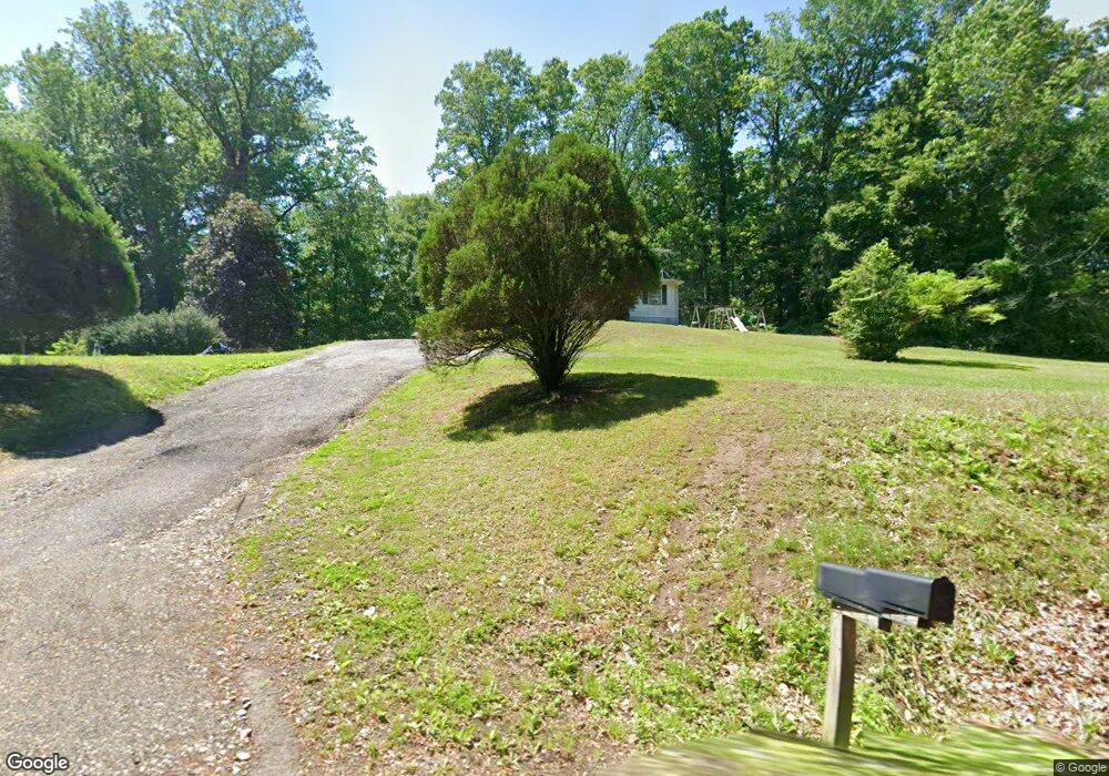
7213 Chew Rd Upper Marlboro, MD 20772
Croom NeighborhoodEstimated Value: $436,000 - $594,000
--
Bed
1
Bath
1,860
Sq Ft
$290/Sq Ft
Est. Value
About This Home
This home is located at 7213 Chew Rd, Upper Marlboro, MD 20772 and is currently estimated at $539,362, approximately $289 per square foot. 7213 Chew Rd is a home located in Prince George's County with nearby schools including Marlton Elementary School, Gwynn Park Middle School, and Frederick Douglass High School.
Ownership History
Date
Name
Owned For
Owner Type
Purchase Details
Closed on
Sep 14, 2024
Sold by
Wyvill Shirley S
Bought by
Wyvill Carlton J
Current Estimated Value
Purchase Details
Closed on
Oct 29, 1996
Sold by
Sellman Henrietta and Sellman Richard
Bought by
Sellman Henrietta and Sellman Richard
Purchase Details
Closed on
Sep 6, 1996
Sold by
Wyvill Carlton J
Bought by
Sellman Henrietta and Sellman Richard
Create a Home Valuation Report for This Property
The Home Valuation Report is an in-depth analysis detailing your home's value as well as a comparison with similar homes in the area
Home Values in the Area
Average Home Value in this Area
Purchase History
| Date | Buyer | Sale Price | Title Company |
|---|---|---|---|
| Wyvill Carlton J | -- | None Listed On Document | |
| Wyvill Carlton J | -- | None Listed On Document | |
| Sellman Henrietta | $20,000 | -- | |
| Sellman Henrietta | $20,000 | -- |
Source: Public Records
Tax History Compared to Growth
Tax History
| Year | Tax Paid | Tax Assessment Tax Assessment Total Assessment is a certain percentage of the fair market value that is determined by local assessors to be the total taxable value of land and additions on the property. | Land | Improvement |
|---|---|---|---|---|
| 2025 | $4,203 | $319,400 | $107,900 | $211,500 |
| 2024 | $4,203 | $310,433 | $0 | $0 |
| 2023 | $3,352 | $301,467 | $0 | $0 |
| 2022 | $3,253 | $292,500 | $107,900 | $184,600 |
| 2021 | $7,851 | $278,600 | $0 | $0 |
| 2020 | $7,363 | $264,700 | $0 | $0 |
| 2019 | $3,591 | $250,800 | $107,900 | $142,900 |
| 2018 | $3,446 | $238,633 | $0 | $0 |
| 2017 | $3,309 | $226,467 | $0 | $0 |
| 2016 | -- | $214,300 | $0 | $0 |
| 2015 | $2,858 | $214,300 | $0 | $0 |
| 2014 | $2,858 | $214,300 | $0 | $0 |
Source: Public Records
Map
Nearby Homes
- 0 Robert Crain Hwy Unit MDPG2140262
- 0 Robert Crain Hwy Unit MDPG2138350
- 6205 Curtis Rd
- 6101 Gold Yarrow Ln
- 5431 Old Crain Hwy
- 8401 Thornberry Dr E
- 8901 Brookridge Dr
- 13807 Old Marlboro Pike
- 14511 Marlborough Cir
- 7911 Mcclure Rd
- 14100 Old Marlboro Pike
- 14404 Marlborough Dr
- 14412 Marlborough Dr
- 8407 Berwick Rd
- 7809 Croom Rd
- 13500 Old Marlboro Pike
- 7103 Aquinas Ave
- 7200 Sybaris Dr
- 12458 Old Colony Dr
- 12460 Old Colony Dr
- 7100 Chew Rd
- 7222 Chew Rd
- 7211 Chew Rd
- 0 Chew Rd
- 7206 Croom Station Rd
- 6702 Green Grove Place
- 7300 Chew Rd
- 14909 Van Wagner Rd
- 7305 Chew Rd
- 6709 Green Moss Dr
- 6705 Green Moss Dr
- 6703 Green Grove Place
- 7304 Chew Rd
- 6707 Green Moss Dr
- 7300 Croom Station Rd
- 6700 Green Grove Place
- 14913 Van Wagner Rd
- 14905 Van Wagner Rd
- 7202 Croom Station Rd
- 6806 Green Cove Ct