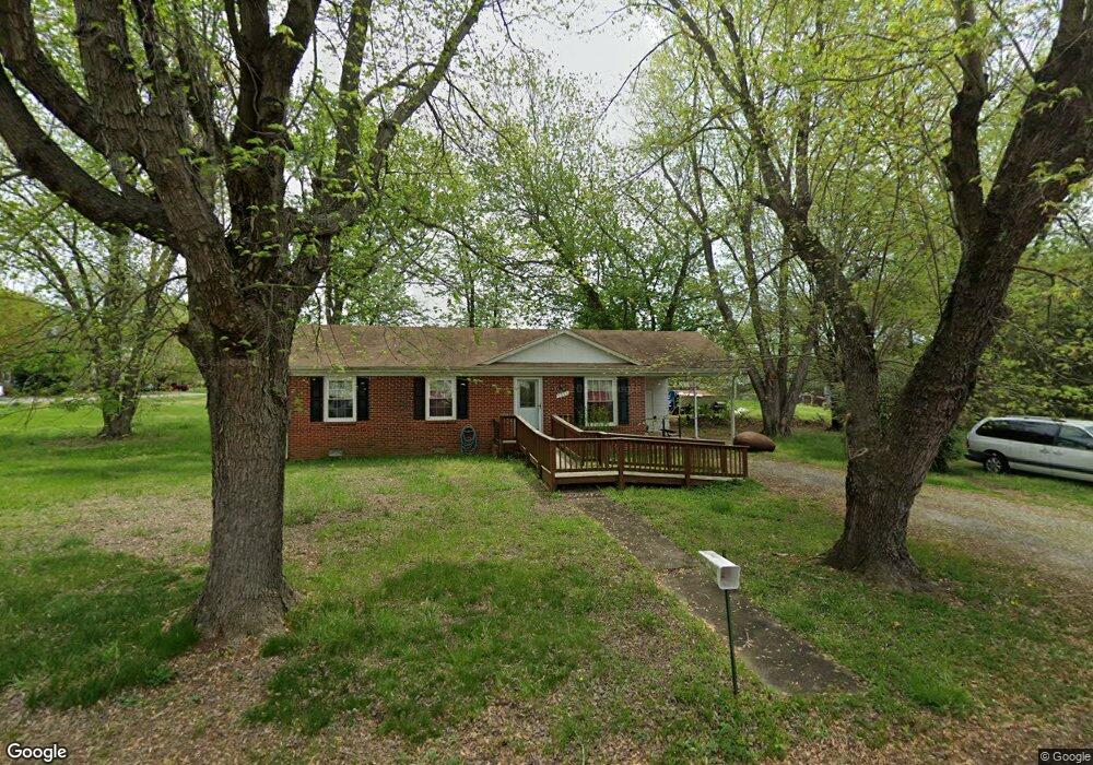
7213 Royal St Port Royal, VA 22535
Estimated Value: $253,194 - $292,000
3
Beds
1
Bath
960
Sq Ft
$279/Sq Ft
Est. Value
About This Home
This home is located at 7213 Royal St, Port Royal, VA 22535 and is currently estimated at $267,549, approximately $278 per square foot. 7213 Royal St is a home located in Caroline County with nearby schools including Caroline Middle School and Caroline High School.
Ownership History
Date
Name
Owned For
Owner Type
Purchase Details
Closed on
Mar 17, 2003
Sold by
Gouldman Farms Inc
Bought by
Bryant Robert
Current Estimated Value
Home Financials for this Owner
Home Financials are based on the most recent Mortgage that was taken out on this home.
Original Mortgage
$70,000
Outstanding Balance
$30,225
Interest Rate
5.94%
Mortgage Type
New Conventional
Estimated Equity
$237,324
Create a Home Valuation Report for This Property
The Home Valuation Report is an in-depth analysis detailing your home's value as well as a comparison with similar homes in the area
Home Values in the Area
Average Home Value in this Area
Purchase History
| Date | Buyer | Sale Price | Title Company |
|---|---|---|---|
| Bryant Robert | $70,000 | -- |
Source: Public Records
Mortgage History
| Date | Status | Borrower | Loan Amount |
|---|---|---|---|
| Open | Bryant Robert | $70,000 |
Source: Public Records
Tax History Compared to Growth
Tax History
| Year | Tax Paid | Tax Assessment Tax Assessment Total Assessment is a certain percentage of the fair market value that is determined by local assessors to be the total taxable value of land and additions on the property. | Land | Improvement |
|---|---|---|---|---|
| 2025 | $171,325 | $222,500 | $55,000 | $167,500 |
| 2024 | $857 | $111,300 | $47,000 | $64,300 |
| 2023 | $857 | $111,300 | $47,000 | $64,300 |
| 2022 | $857 | $111,300 | $47,000 | $64,300 |
| 2021 | $857 | $111,300 | $47,000 | $64,300 |
| 2020 | $743 | $89,500 | $31,000 | $58,500 |
| 2019 | $743 | $89,500 | $31,000 | $58,500 |
| 2018 | $743 | $89,500 | $31,000 | $58,500 |
| 2017 | $743 | $89,500 | $31,000 | $58,500 |
| 2016 | $734 | $89,500 | $31,000 | $58,500 |
| 2015 | $596 | $82,800 | $31,000 | $51,800 |
| 2014 | $596 | $82,800 | $31,000 | $51,800 |
Source: Public Records
Map
Nearby Homes
- 517 King St
- 0 & 00 King St
- 17392 Cherwood Pond Ln
- 23348 Tidewater Trail
- 0 Goose Point Ct Unit VACV2006706
- 14405 Millbank Rd
- 14264 Millbank Rd
- 15617 Mockingbird Ln
- 29373 Tidewater Trail
- 30079 Goose Point Ct
- 11418 Jersey Rd
- Lot 27 Salem Church Rd
- Lot 26 Salem Church Rd
- Lot 6 Salem Church Rd
- Lot 15 Salem Church Rd
- Lot 14 Salem Church Rd
- Lot 19 Salem Church Rd
- Lot 4 Salem Church Rd
- Lot 16 Salem Church Rd
- Lot 7 Salem Church Rd
- 7220 Royal St
- 7229 Royal St
- UNKNOWN Townfield
- 26160 Townfield Dr
- 26139 Townfield Dr
- 26104 Townfield Dr
- 7234 Royal St
- 7239 Royal St
- 26109 Townfield Dr
- 7252 Port St
- 26094 Townfield Dr
- 26155 Townfield Dr
- 26121 Townfield Dr
- 7248 Royal St
- Port
- Port St
- 26089 Townfield Dr
- 7235 Port St
- 7268 Port St
- 7262 Port St