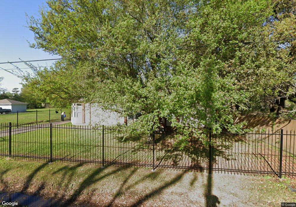
7213 Sandra St Houston, TX 77028
Trinity-Houston Gardens NeighborhoodEstimated Value: $240,585 - $260,000
2
Beds
3
Baths
1,796
Sq Ft
$139/Sq Ft
Est. Value
About This Home
This home is located at 7213 Sandra St, Houston, TX 77028 and is currently estimated at $248,896, approximately $138 per square foot. 7213 Sandra St is a home located in Harris County with nearby schools including Felix Cook Jr. Elementary School, Key Middle, and Kashmere High School.
Ownership History
Date
Name
Owned For
Owner Type
Purchase Details
Closed on
Jun 21, 2004
Sold by
Dickson Annie Dean Mcgee
Bought by
Dickson Wilbert R
Current Estimated Value
Purchase Details
Closed on
Dec 24, 2002
Sold by
Dickson Dee C Mcgee
Bought by
Dickson Annie Dean Mcgee
Purchase Details
Closed on
May 16, 1995
Sold by
Mcgee Willie F and Mcgee Zenobia Faye
Bought by
Mcgee Dee C
Create a Home Valuation Report for This Property
The Home Valuation Report is an in-depth analysis detailing your home's value as well as a comparison with similar homes in the area
Home Values in the Area
Average Home Value in this Area
Purchase History
| Date | Buyer | Sale Price | Title Company |
|---|---|---|---|
| Dickson Wilbert R | -- | -- | |
| Dickson Annie Dean Mcgee | -- | -- | |
| Mcgee Dee C | -- | -- | |
| Mcgee Dee C | -- | -- |
Source: Public Records
Tax History Compared to Growth
Tax History
| Year | Tax Paid | Tax Assessment Tax Assessment Total Assessment is a certain percentage of the fair market value that is determined by local assessors to be the total taxable value of land and additions on the property. | Land | Improvement |
|---|---|---|---|---|
| 2025 | $278 | $254,115 | $67,400 | $186,715 |
| 2024 | $278 | $230,365 | $67,400 | $162,965 |
| 2023 | $262 | $213,375 | $67,400 | $145,975 |
| 2022 | $3,829 | $173,913 | $53,920 | $119,993 |
| 2021 | $4,140 | $192,272 | $33,700 | $158,572 |
| 2020 | $3,910 | $165,620 | $26,960 | $138,660 |
| 2019 | $3,715 | $146,799 | $18,198 | $128,601 |
| 2018 | $2,448 | $135,154 | $14,828 | $120,326 |
| 2017 | $3,238 | $135,154 | $14,828 | $120,326 |
| 2016 | $2,944 | $126,434 | $14,828 | $111,606 |
| 2015 | $2,009 | $105,845 | $14,828 | $91,017 |
| 2014 | $2,009 | $105,845 | $14,828 | $91,017 |
Source: Public Records
Map
Nearby Homes
- 0 Peachtree St Unit 21922779
- 0 Peachtree St Unit 3094206
- 0 Peachtree St Unit 19233458
- 7312 Wileyvale Rd Unit B
- 7312 Wileyvale Rd Unit D
- 7312 Wileyvale Rd Unit E
- 7312 Wileyvale Rd Unit C
- 7312 Wileyvale Rd Unit A
- 5409-5417 Carey St
- 7311 Wileyvale Rd Unit A
- 7311 Wileyvale Rd Unit B
- 0 Sandra St Unit 33902265
- 7210 Lockwood Dr Unit 1
- 6713 Shotwell St
- 6112 Shotwell St
- 7524 Peachtree St
- 0 Lynnfield St
- 00 Lynnfield St
- 6713 Hoffman St
- 5420 Lynnfield St Unit A/B
- 7123 Sandra St
- 7119 Sandra St
- 7223 Sandra St
- 7132 Peachtree St
- 7311 Sandra St Unit B
- 7311 Sandra St Unit A/B
- 7117 Sandra St
- 7202 Sandra St
- 7214 Sandra St
- 7128 Peachtree St
- 7124 Sandra St
- 5209 Shreveport Blvd
- 7120 Sandra St
- 7111 Sandra St
- 7310 Sandra St
- 5211 Shreveport Blvd
- 7314 Sandra St
- 7110 Sandra St
- 7114 Peachtree St
- 5139 Shreveport Blvd