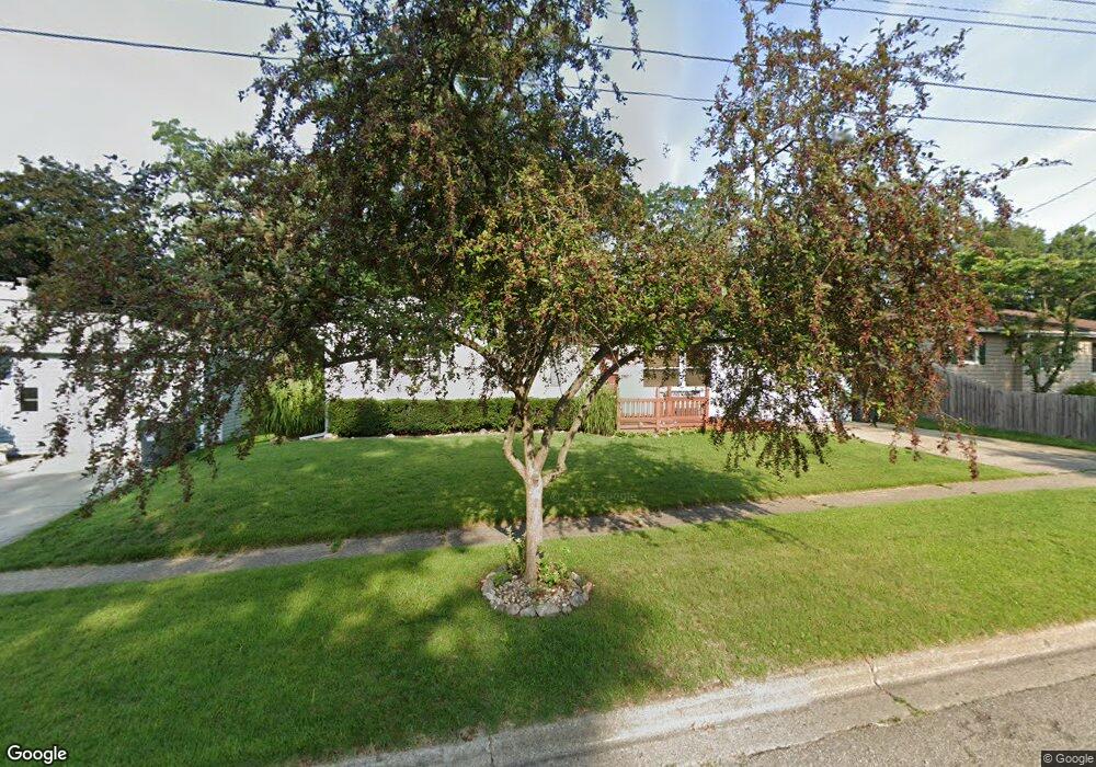
7214 Balfour Dr Portage, MI 49024
Estimated Value: $224,000 - $256,000
3
Beds
2
Baths
1,151
Sq Ft
$208/Sq Ft
Est. Value
About This Home
This home is located at 7214 Balfour Dr, Portage, MI 49024 and is currently estimated at $239,889, approximately $208 per square foot. 7214 Balfour Dr is a home located in Kalamazoo County with nearby schools including Moorsbridge Elementary School, Portage West Middle School, and Portage Northern High School.
Ownership History
Date
Name
Owned For
Owner Type
Purchase Details
Closed on
Sep 15, 2017
Sold by
Vanengen Timothy A
Bought by
Vanengen Pamela S
Current Estimated Value
Home Financials for this Owner
Home Financials are based on the most recent Mortgage that was taken out on this home.
Original Mortgage
$116,850
Outstanding Balance
$97,552
Interest Rate
3.89%
Mortgage Type
New Conventional
Estimated Equity
$142,337
Purchase Details
Closed on
Jul 30, 2015
Sold by
Vanengen Timothy A and Vanengen Van Engen
Bought by
Vanengen Timothy A
Create a Home Valuation Report for This Property
The Home Valuation Report is an in-depth analysis detailing your home's value as well as a comparison with similar homes in the area
Home Values in the Area
Average Home Value in this Area
Purchase History
| Date | Buyer | Sale Price | Title Company |
|---|---|---|---|
| Vanengen Pamela S | $123,000 | Nations Title Agency | |
| Vanengen Timothy A | -- | Nations Title Agency |
Source: Public Records
Mortgage History
| Date | Status | Borrower | Loan Amount |
|---|---|---|---|
| Open | Vanengen Pamela S | $116,850 |
Source: Public Records
Tax History Compared to Growth
Tax History
| Year | Tax Paid | Tax Assessment Tax Assessment Total Assessment is a certain percentage of the fair market value that is determined by local assessors to be the total taxable value of land and additions on the property. | Land | Improvement |
|---|---|---|---|---|
| 2025 | $3,380 | $92,300 | $0 | $0 |
| 2024 | $2,976 | $96,200 | $0 | $0 |
| 2023 | $2,836 | $85,800 | $0 | $0 |
| 2022 | $3,065 | $75,800 | $0 | $0 |
| 2021 | $2,962 | $71,600 | $0 | $0 |
| 2020 | $2,898 | $66,800 | $0 | $0 |
| 2019 | $261 | $64,000 | $0 | $0 |
| 2018 | $0 | $61,800 | $0 | $0 |
| 2017 | $0 | $60,900 | $0 | $0 |
| 2016 | -- | $65,300 | $0 | $0 |
| 2015 | -- | $60,900 | $0 | $0 |
| 2014 | -- | $58,500 | $0 | $0 |
Source: Public Records
Map
Nearby Homes
- 7160 Crown Pointe Cir
- 2604 Radcliffe Ave
- 7481 Turnberry Ct
- 7464 Saint George Cir
- 3320 Scots Pine Way Unit 2
- 7639 Dunross Dr
- 2801 Daventry Ave
- 6748 Trotwood St
- 6740 Amberly St
- 7236 Hampstead Ln Unit 18
- 1828 Woodland Dr
- 7337 Starbrook St
- 3318 Davcliff Ave
- 6876 Towhee St
- 6636 Trotwood St
- 6745 Oakland Dr
- 6645 Oleander Ln
- 6803 Bluegrass St
- 3653 Tartan Cir
- 6605 Rothbury St
- 7222 Balfour Dr
- 7208 Balfour Dr
- 7231 Sandpiper St
- 7228 Balfour Dr
- 7247 Sandpiper St
- 7215 Sandpiper St
- 0 Balfour Dr
- 7215 Balfour Dr
- 7265 Sandpiper St
- 7209 Balfour Dr
- 7223 Balfour Dr
- 7238 Balfour Dr
- 7146 Balfour Dr
- 7201 Sandpiper St
- 7229 Balfour Dr
- 7281 Sandpiper St
- 7244 Balfour Dr
- 2602 Mansfield Ave
- 7136 Balfour Dr
- 7239 Balfour Dr