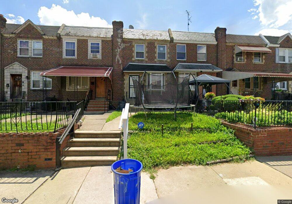
7215 Algard St Philadelphia, PA 19135
Tacony NeighborhoodEstimated Value: $197,937 - $219,000
3
Beds
1
Bath
1,056
Sq Ft
$198/Sq Ft
Est. Value
About This Home
This home is located at 7215 Algard St, Philadelphia, PA 19135 and is currently estimated at $208,734, approximately $197 per square foot. 7215 Algard St is a home located in Philadelphia County with nearby schools including Edwin Forrest Elementary School, Lincoln High School, and Meehan Austin Middle School.
Ownership History
Date
Name
Owned For
Owner Type
Purchase Details
Closed on
May 28, 2024
Sold by
Butler Abbie J
Bought by
Butler Lawrence M and Butler Abbie J
Current Estimated Value
Purchase Details
Closed on
Apr 28, 2003
Sold by
Affatato Carmen and Affatato Carmela
Bought by
Butler Abbie J
Home Financials for this Owner
Home Financials are based on the most recent Mortgage that was taken out on this home.
Original Mortgage
$58,175
Interest Rate
11.55%
Mortgage Type
Purchase Money Mortgage
Create a Home Valuation Report for This Property
The Home Valuation Report is an in-depth analysis detailing your home's value as well as a comparison with similar homes in the area
Home Values in the Area
Average Home Value in this Area
Purchase History
| Date | Buyer | Sale Price | Title Company |
|---|---|---|---|
| Butler Lawrence M | -- | None Listed On Document | |
| Butler Abbie J | $89,500 | -- |
Source: Public Records
Mortgage History
| Date | Status | Borrower | Loan Amount |
|---|---|---|---|
| Previous Owner | Butler Abbie J | $58,175 |
Source: Public Records
Tax History Compared to Growth
Tax History
| Year | Tax Paid | Tax Assessment Tax Assessment Total Assessment is a certain percentage of the fair market value that is determined by local assessors to be the total taxable value of land and additions on the property. | Land | Improvement |
|---|---|---|---|---|
| 2025 | $2,125 | $188,700 | $37,740 | $150,960 |
| 2024 | $2,125 | $188,700 | $37,740 | $150,960 |
| 2023 | $2,125 | $151,800 | $30,360 | $121,440 |
| 2022 | $1,495 | $106,800 | $30,360 | $76,440 |
| 2021 | $1,664 | $0 | $0 | $0 |
| 2020 | $1,664 | $0 | $0 | $0 |
| 2019 | $1,597 | $0 | $0 | $0 |
| 2018 | $1,517 | $0 | $0 | $0 |
| 2017 | $1,517 | $0 | $0 | $0 |
| 2016 | $1,097 | $0 | $0 | $0 |
| 2015 | $1,051 | $0 | $0 | $0 |
| 2014 | -- | $108,400 | $20,047 | $88,353 |
| 2012 | -- | $14,720 | $1,649 | $13,071 |
Source: Public Records
Map
Nearby Homes
- 7210 Algard St
- 7232 Walker St
- 7178 Gillespie St
- 7177 Gillespie St
- 7200 Jackson St
- 7133 Walker St
- 4224 Cottman Ave
- 4426 Cottman Ave
- 4233 Cottman Ave
- 7153 Jackson St
- 7122 Gillespie St
- 7127 Montague St
- 4329 Teesdale St
- 7208 Glenloch St
- 4349 Teesdale St
- 7140 Erdrick St
- 7243 Glenloch St
- 7040 Cottage St
- 4056 Teesdale St
- 7139 Charles St
- 7217 Algard St
- 7213 Algard St
- 7219 Algard St
- 7211 Algard St
- 7209 Algard St
- 7221 Algard St
- 7207 Algard St
- 7223 Algard St
- 7205 Algard St
- 7225 Algard St
- 7212 Cottage St
- 7214 Cottage St
- 7210 Cottage St
- 7203 Algard St
- 7227 Algard St
- 7208 Cottage St
- 7216 Cottage St
- 7206 Cottage St
- 7218 Cottage St
- 7229 Algard St