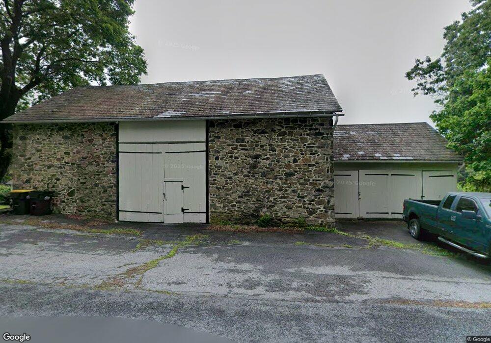
7215 Carls Hill Rd Zionsville, PA 18092
Upper Milford Township NeighborhoodEstimated Value: $580,000 - $1,215,000
5
Beds
3
Baths
2,448
Sq Ft
$343/Sq Ft
Est. Value
About This Home
This home is located at 7215 Carls Hill Rd, Zionsville, PA 18092 and is currently estimated at $840,671, approximately $343 per square foot. 7215 Carls Hill Rd is a home located in Lehigh County with nearby schools including Shoemaker Elementary School, Eyer Middle School, and Emmaus High School.
Ownership History
Date
Name
Owned For
Owner Type
Purchase Details
Closed on
Oct 29, 2014
Sold by
Woods Janice M
Bought by
Woods Janice M and Woodhs Kurth H
Current Estimated Value
Purchase Details
Closed on
Jan 26, 1995
Sold by
Woods John C
Bought by
Woods Janice M
Purchase Details
Closed on
Dec 30, 1991
Sold by
Woods Peter B
Bought by
Woods John C
Purchase Details
Closed on
Aug 6, 1980
Bought by
Woods Peter B
Create a Home Valuation Report for This Property
The Home Valuation Report is an in-depth analysis detailing your home's value as well as a comparison with similar homes in the area
Home Values in the Area
Average Home Value in this Area
Purchase History
| Date | Buyer | Sale Price | Title Company |
|---|---|---|---|
| Woods Janice M | -- | None Available | |
| Woods Janice M | $200,000 | -- | |
| Woods John C | -- | -- | |
| Woods Peter B | -- | -- |
Source: Public Records
Tax History Compared to Growth
Tax History
| Year | Tax Paid | Tax Assessment Tax Assessment Total Assessment is a certain percentage of the fair market value that is determined by local assessors to be the total taxable value of land and additions on the property. | Land | Improvement |
|---|---|---|---|---|
| 2025 | $8,366 | $496,500 | $240,700 | $255,800 |
| 2024 | $7,996 | $496,500 | $240,700 | $255,800 |
| 2023 | $7,834 | $496,500 | $240,700 | $255,800 |
| 2022 | $7,646 | $496,500 | $255,800 | $240,700 |
| 2021 | $7,482 | $496,500 | $240,700 | $255,800 |
| 2020 | $7,410 | $496,500 | $240,700 | $255,800 |
| 2019 | $7,364 | $496,500 | $240,700 | $255,800 |
| 2018 | $7,175 | $496,500 | $240,700 | $255,800 |
| 2017 | $7,048 | $496,500 | $240,700 | $255,800 |
| 2016 | -- | $496,500 | $240,700 | $255,800 |
| 2015 | -- | $496,500 | $240,700 | $255,800 |
| 2014 | -- | $496,500 | $240,700 | $255,800 |
Source: Public Records
Map
Nearby Homes
- 6335 Sweetbriar Ln
- 7921 Corning Rd
- 5722 Kings Hwy S
- 5061 Wendi Dr W
- 4675 E Mill Hill Rd
- 117 Concord Dr
- 0 Chestnut St
- 328 Ashford Ln
- 62 Ashford Ln
- 317 Ashford Ln
- 4835 Shimerville Rd
- 4434 Taviston Ct E
- 4338 Taviston Ct E Unit Homesite 26
- 4314 Taviston Ct E
- 5125 Maple Ridge Way
- 4290 Taviston Ct E
- 5095 Maple Ridge Way Unit Homesite 13
- 4285 Taviston Ct E
- 5065 Maple Ridge Way
- 4441 Taviston Ct E
- 7283 Carls Hill Rd
- 7286 Carls Hill Rd
- 7351 Carls Hill Rd
- 7306 Carls Hill Rd
- 7361 Carls Hill Rd
- 3517 Lenape
- 7358 Carls Hill Rd
- 7183 Carls Hill Rd
- 7310 Carls Hill Rd
- 7031 Carls Hill Rd
- 7185 Carls Hill Rd
- 7181 Carls Hill Rd
- 7428 Carls Hill Rd
- 7472 Carls Hill Rd
- 00 Mount Vernon Dr
- 00000 Granville Rd
- 0000 Granville Rd
- 0 Granville Rd Unit 1007736762
- 0 Walnut Ln Unit 1000371217
- 0 Mount Vernon Dr Unit 1007323948