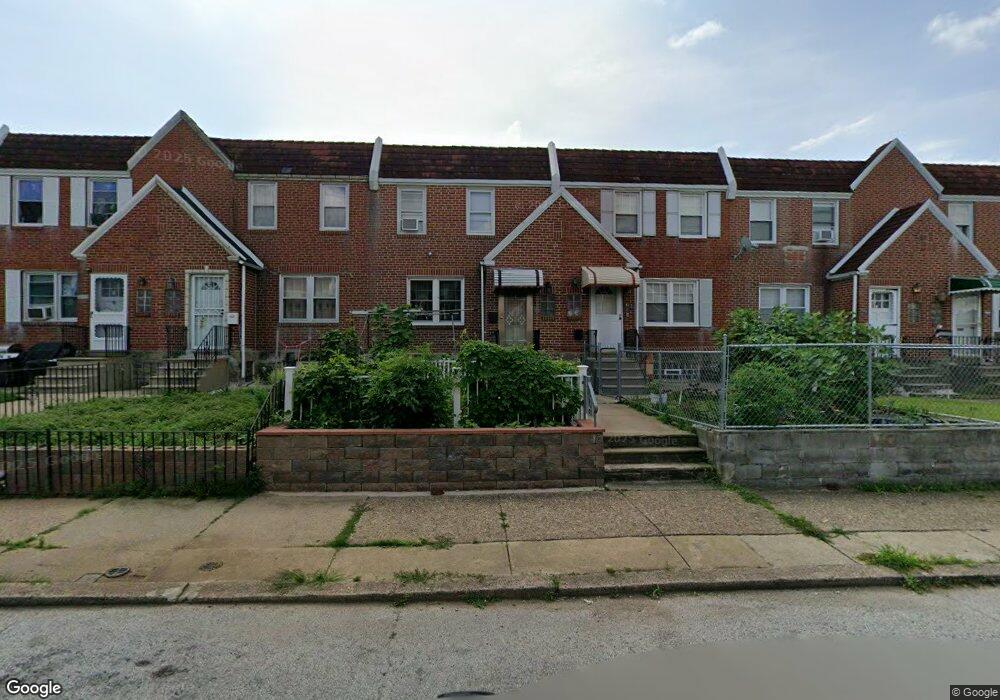
7215 Hanford St Philadelphia, PA 19149
Castor Gardens NeighborhoodEstimated Value: $242,544 - $274,000
3
Beds
1
Bath
1,296
Sq Ft
$198/Sq Ft
Est. Value
About This Home
This home is located at 7215 Hanford St, Philadelphia, PA 19149 and is currently estimated at $256,886, approximately $198 per square foot. 7215 Hanford St is a home located in Philadelphia County with nearby schools including Solomon Solis-Cohen School, Castor Gardens Middle School, and Northeast High School.
Ownership History
Date
Name
Owned For
Owner Type
Purchase Details
Closed on
Jun 22, 2007
Sold by
Beer Joyce and Will Of Selma Melchiode
Bought by
Ly Dean and Luu Yon
Current Estimated Value
Home Financials for this Owner
Home Financials are based on the most recent Mortgage that was taken out on this home.
Original Mortgage
$60,050
Interest Rate
6.24%
Mortgage Type
Purchase Money Mortgage
Create a Home Valuation Report for This Property
The Home Valuation Report is an in-depth analysis detailing your home's value as well as a comparison with similar homes in the area
Home Values in the Area
Average Home Value in this Area
Purchase History
| Date | Buyer | Sale Price | Title Company |
|---|---|---|---|
| Ly Dean | $140,000 | None Available |
Source: Public Records
Mortgage History
| Date | Status | Borrower | Loan Amount |
|---|---|---|---|
| Closed | Ly Dean | $60,050 |
Source: Public Records
Tax History Compared to Growth
Tax History
| Year | Tax Paid | Tax Assessment Tax Assessment Total Assessment is a certain percentage of the fair market value that is determined by local assessors to be the total taxable value of land and additions on the property. | Land | Improvement |
|---|---|---|---|---|
| 2025 | $2,980 | $252,500 | $50,500 | $202,000 |
| 2024 | $2,980 | $252,500 | $50,500 | $202,000 |
| 2023 | $2,980 | $212,900 | $42,580 | $170,320 |
| 2022 | $1,473 | $167,900 | $42,580 | $125,320 |
| 2021 | $2,103 | $0 | $0 | $0 |
| 2020 | $2,103 | $0 | $0 | $0 |
| 2019 | $2,017 | $0 | $0 | $0 |
| 2018 | $1,403 | $0 | $0 | $0 |
| 2017 | $1,823 | $0 | $0 | $0 |
| 2016 | $1,403 | $0 | $0 | $0 |
| 2015 | -- | $0 | $0 | $0 |
| 2014 | -- | $130,200 | $25,110 | $105,090 |
| 2012 | -- | $17,952 | $1,444 | $16,508 |
Source: Public Records
Map
Nearby Homes
- 7223 Hanford St
- 7204 Rupert St
- 7214 Bradford St
- 7249 Rupert St
- 7246 Calvert St
- 2105 Friendship St
- 7155 Saul St
- 2240 Friendship St
- 7153 Saul St
- 2162 Princeton Ave
- 2140 Princeton Ave
- 2206 Princeton Ave
- 2239 Brighton St
- 7231 Eastwood St
- 7247 Eastwood St
- 7017 Calvert St
- 2257 Disston St
- 2248 Disston St
- 7213 Brous Ave
- 7123 Souder St
- 7213 Hanford St
- 7217 Hanford St
- 7211 Hanford St
- 7219 Hanford St
- 7209 Hanford St
- 7221 Hanford St
- 7207 Hanford St
- 7205 Hanford St
- 7225 Hanford St
- 7214 Leonard St
- 7212 Leonard St
- 7216 Leonard St
- 7218 Leonard St
- 7210 Leonard St
- 7203 Hanford St
- 7208 Leonard St
- 7220 Leonard St
- 7227 Hanford St
- 7206 Leonard St
- 7222 Leonard St