7215 Howison Hill Ln Hanover, MD 21076
Estimated Value: $563,000 - $590,000
--
Bed
2
Baths
2,548
Sq Ft
$227/Sq Ft
Est. Value
About This Home
This home is located at 7215 Howison Hill Ln, Hanover, MD 21076 and is currently estimated at $579,158, approximately $227 per square foot. 7215 Howison Hill Ln is a home located in Anne Arundel County with nearby schools including Meade Heights Elementary School, MacArthur Middle School, and Meade High School.
Ownership History
Date
Name
Owned For
Owner Type
Purchase Details
Closed on
Sep 27, 2017
Sold by
Nvr Inc
Bought by
Esuola Michael and Esuola Millicent
Current Estimated Value
Home Financials for this Owner
Home Financials are based on the most recent Mortgage that was taken out on this home.
Original Mortgage
$422,206
Outstanding Balance
$358,004
Interest Rate
4.4%
Mortgage Type
FHA
Estimated Equity
$221,154
Purchase Details
Closed on
May 5, 2017
Sold by
B And S Eggerl Llc
Bought by
Nvr Inc
Create a Home Valuation Report for This Property
The Home Valuation Report is an in-depth analysis detailing your home's value as well as a comparison with similar homes in the area
Home Values in the Area
Average Home Value in this Area
Purchase History
| Date | Buyer | Sale Price | Title Company |
|---|---|---|---|
| Esuola Michael | $429,995 | None Available | |
| Nvr Inc | $732,836 | None Available |
Source: Public Records
Mortgage History
| Date | Status | Borrower | Loan Amount |
|---|---|---|---|
| Open | Esuola Michael | $422,206 |
Source: Public Records
Tax History Compared to Growth
Tax History
| Year | Tax Paid | Tax Assessment Tax Assessment Total Assessment is a certain percentage of the fair market value that is determined by local assessors to be the total taxable value of land and additions on the property. | Land | Improvement |
|---|---|---|---|---|
| 2025 | $5,294 | $512,700 | $155,000 | $357,700 |
| 2024 | $5,294 | $482,133 | $0 | $0 |
| 2023 | $5,136 | $451,567 | $0 | $0 |
| 2022 | $4,399 | $421,000 | $135,000 | $286,000 |
| 2021 | $9,561 | $421,000 | $135,000 | $286,000 |
| 2020 | $4,742 | $421,000 | $135,000 | $286,000 |
| 2019 | $9,744 | $434,400 | $140,000 | $294,400 |
| 2018 | $4,303 | $424,400 | $0 | $0 |
| 2017 | $395 | $55,667 | $0 | $0 |
| 2016 | -- | $38,500 | $0 | $0 |
Source: Public Records
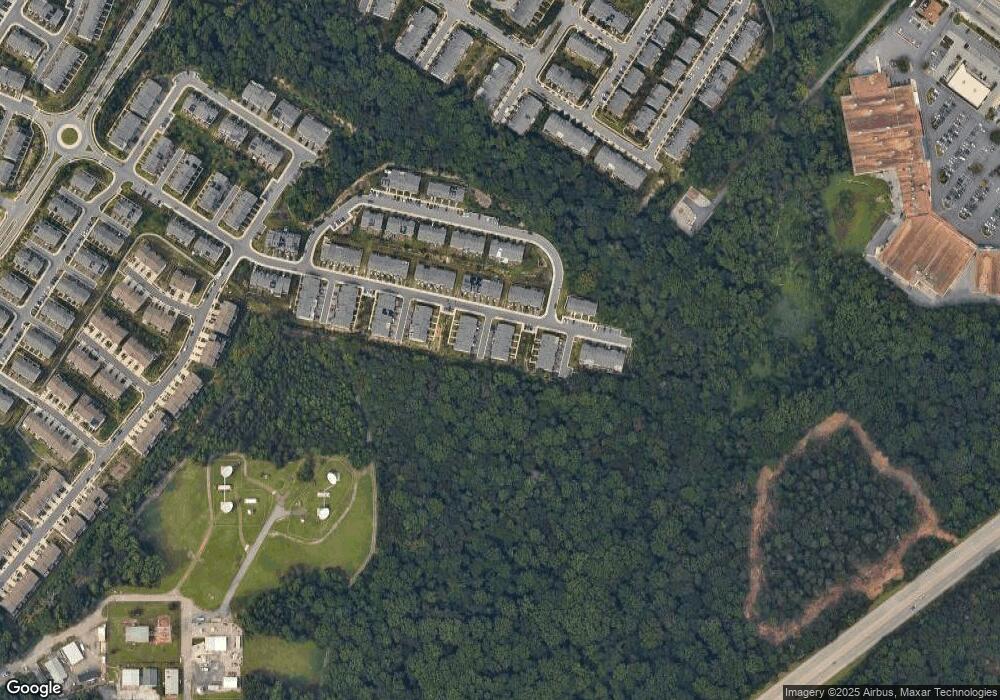
Map
Nearby Homes
- 2746 Fredericksburg Rd
- 7444 Burnside Way
- 7215 Winding Hills Dr
- 7812 Patterson Way
- 3106 Laurel Hill Rd
- 7652 Telamon Way
- 7841 Chanceford Dr
- 2932 Hebron Ln
- 2914 Middleham Ct
- 7808 Union Hill Dr
- 8369 Meadowood Dr
- 3723 Cedar Mountain Way
- 7820 Mine Run Rd
- 8357 Meadowood Dr
- 7938 Big Roundtop Rd
- 2616 Hardaway Cir
- 7836 Mine Run Rd
- 7911 Mine Run Rd
- Maguire Plan at Shipley Homestead
- The Julianne Plan at Shipley Homestead
- 7217 Howison Hill Ln
- 7213 Howison Hill Ln
- 7211 Howison Hill Ln
- 7209 Howison Hill Ln
- 7212 Howison Hill Ln
- 7116 Telegraph Hill Rd
- 7218 Howison Hill Ln
- 7216 Howison Hill Ln
- 7214 Howison Hill Ln
- 7210 Howison Hill Ln
- 7120 Telegraph Hill Rd
- 7118 Telegraph Hill Rd
- 7114 Telegraph Hill Rd
- 7112 Telegraph Hill Rd
- 2736 Fredericksburg Rd
- 2734 Fredericksburg Rd
- 2740 Fredericksburg Rd
- 2732 Fredericksburg Rd
- 2730 Fredericksburg Rd
- 2742 Fredericksburg Rd