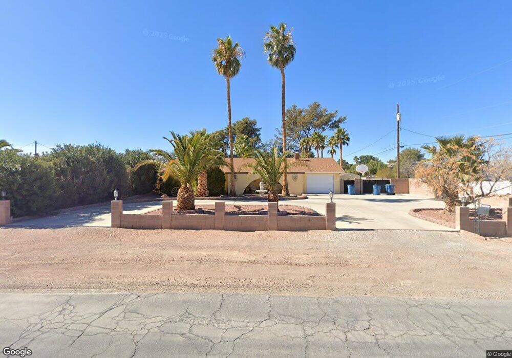
7215 Polaris Ave Las Vegas, NV 89118
Coronado Ranch NeighborhoodEstimated Value: $643,000 - $769,000
3
Beds
2
Baths
2,215
Sq Ft
$320/Sq Ft
Est. Value
About This Home
This home is located at 7215 Polaris Ave, Las Vegas, NV 89118 and is currently estimated at $709,256, approximately $320 per square foot. 7215 Polaris Ave is a home located in Clark County with nearby schools including Dr. Beverly S. Mathis Elementary School, Lawrence & Heidi Canarelli Middle School, and Desert Oasis High School.
Ownership History
Date
Name
Owned For
Owner Type
Purchase Details
Closed on
Jun 6, 1996
Sold by
Thompson Hollace S
Bought by
Curtis John W and Burmeister Cheryl
Current Estimated Value
Home Financials for this Owner
Home Financials are based on the most recent Mortgage that was taken out on this home.
Original Mortgage
$134,000
Interest Rate
8.09%
Create a Home Valuation Report for This Property
The Home Valuation Report is an in-depth analysis detailing your home's value as well as a comparison with similar homes in the area
Home Values in the Area
Average Home Value in this Area
Purchase History
| Date | Buyer | Sale Price | Title Company |
|---|---|---|---|
| Curtis John W | $169,000 | Nevada Title Company |
Source: Public Records
Mortgage History
| Date | Status | Borrower | Loan Amount |
|---|---|---|---|
| Previous Owner | Curtis John W | $134,000 |
Source: Public Records
Tax History Compared to Growth
Tax History
| Year | Tax Paid | Tax Assessment Tax Assessment Total Assessment is a certain percentage of the fair market value that is determined by local assessors to be the total taxable value of land and additions on the property. | Land | Improvement |
|---|---|---|---|---|
| 2025 | $2,459 | $120,593 | $70,000 | $50,593 |
| 2024 | $2,388 | $120,593 | $70,000 | $50,593 |
| 2023 | $2,388 | $110,700 | $61,250 | $49,450 |
| 2022 | $2,319 | $100,724 | $54,250 | $46,474 |
| 2021 | $2,251 | $93,941 | $49,000 | $44,941 |
| 2020 | $2,183 | $94,367 | $49,000 | $45,367 |
| 2019 | $2,119 | $89,186 | $43,750 | $45,436 |
| 2018 | $2,057 | $79,570 | $35,000 | $44,570 |
| 2017 | $2,118 | $72,209 | $26,250 | $45,959 |
| 2016 | $1,949 | $73,389 | $26,250 | $47,139 |
| 2015 | $1,944 | $67,781 | $21,000 | $46,781 |
| 2014 | $1,887 | $62,442 | $15,750 | $46,692 |
Source: Public Records
Map
Nearby Homes
- 3375 W Capovilla Ave
- 7135 Polaris Ave
- 7210 El Malpais St
- 7448 Serene Horizon Ct
- 7416 Innovation Peak Ct
- 7417 Serene Horizon Ct
- Robert Plan at Teton Terrace - Aspire Collection
- Rowan Plan at Teton Terrace - Aspire Collection
- Rocco Plan at Teton Terrace - Aspire Collection
- Robert Plan at Eldorado Valley - Aspire Collection
- Rocco Plan at Eldorado Valley - Aspire Collection
- Rowan Plan at Eldorado Valley - Aspire Collection
- 6965 S Valley View Blvd
- 7270 Hinson St
- 7028 Connor Cove St
- 3906 Jacob Lake Cir
- 4222 W Warm Springs Rd
- 3921 Jacob Lake Cir
- 7655 S Valley View Blvd
- 3978 Jacob Lake Cir
- 7225 Polaris Ave
- 3485 W Capovilla Ave
- 7175 Polaris Ave
- 7245 Polaris Ave
- 3531 W Capovilla Ave
- 7190 Polaris Ave
- 3345 W Capovilla Ave
- 3535 W Capovilla Ave
- 7265 Polaris Ave
- 3541 W Arby Ave
- 7155 Polaris Ave
- 3450 W Warm Springs Rd
- 7250 Polaris Ave
- 7160 Polaris Ave
- 3315 W Capovilla Ave
- 7220 Procyon St
- 7180 Polaris Ave
- 7240 Polaris Ave
- 7240 Procyon St
- 3420 W Warm Springs Rd