7215 S Saint Clair Rd Saint Johns, MI 48879
Estimated Value: $360,000 - $473,727
Studio
3
Baths
2,033
Sq Ft
$207/Sq Ft
Est. Value
About This Home
This home is located at 7215 S Saint Clair Rd, Saint Johns, MI 48879 and is currently estimated at $421,682, approximately $207 per square foot. 7215 S Saint Clair Rd is a home located in Clinton County with nearby schools including St. Johns High School.
Ownership History
Date
Name
Owned For
Owner Type
Purchase Details
Closed on
Apr 6, 2004
Sold by
Durrance Elaine E
Bought by
Kloha Mark J and Kloha Trisha M
Current Estimated Value
Home Financials for this Owner
Home Financials are based on the most recent Mortgage that was taken out on this home.
Original Mortgage
$263,000
Outstanding Balance
$123,678
Interest Rate
5.65%
Mortgage Type
Purchase Money Mortgage
Estimated Equity
$298,004
Create a Home Valuation Report for This Property
The Home Valuation Report is an in-depth analysis detailing your home's value as well as a comparison with similar homes in the area
Purchase History
| Date | Buyer | Sale Price | Title Company |
|---|---|---|---|
| Kloha Mark J | $76,000 | -- |
Source: Public Records
Mortgage History
| Date | Status | Borrower | Loan Amount |
|---|---|---|---|
| Open | Kloha Mark J | $263,000 |
Source: Public Records
Tax History
| Year | Tax Paid | Tax Assessment Tax Assessment Total Assessment is a certain percentage of the fair market value that is determined by local assessors to be the total taxable value of land and additions on the property. | Land | Improvement |
|---|---|---|---|---|
| 2025 | $4,559 | $249,200 | $36,800 | $212,400 |
| 2024 | $19 | $230,400 | $33,300 | $197,100 |
| 2023 | $1,765 | $199,500 | $0 | $0 |
| 2022 | $4,133 | $181,600 | $28,500 | $153,100 |
| 2021 | $3,998 | $170,800 | $26,100 | $144,700 |
| 2020 | $3,689 | $161,500 | $24,600 | $136,900 |
| 2019 | $3,701 | $153,800 | $24,600 | $129,200 |
| 2018 | $3,579 | $144,200 | $23,200 | $121,000 |
| 2017 | $3,535 | $143,300 | $23,200 | $120,100 |
| 2016 | $3,506 | $131,800 | $23,200 | $108,600 |
| 2015 | $3,472 | $131,500 | $0 | $0 |
| 2011 | -- | $127,400 | $0 | $0 |
Source: Public Records
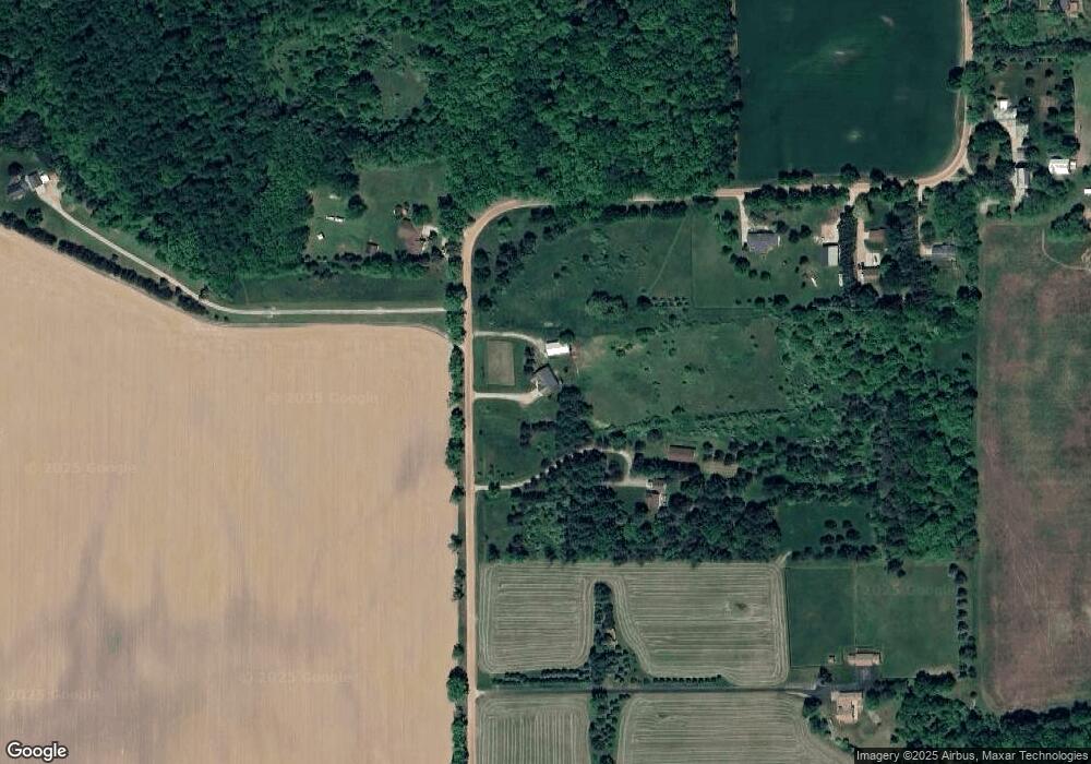
Map
Nearby Homes
- 5434 Green Rd
- 8235 E Jason Rd
- 00000 Alward Rd
- Parcel 1 Alward Rd
- Parcel 2 Alward Rd
- 000 Alward Rd
- 00 E Alward Rd
- 5286 Alward Rd
- 9210 E Price Rd
- Parcel B S Hollister Rd
- 0 E Centerline Rd
- 6535 Crestview Dr
- 9195 Westchester Dr
- 0 E Chadwick Rd
- 9383 E Round Lake Rd
- 2615 Alward Rd
- 9602 Balfor Ct
- V/L E Chadwick Rd
- 0 Upton Rd Unit 292779
- 11315 Tamarack Trail
- 7281 S Saint Clair Rd
- 7107 S Saint Clair Rd
- 7101 S St Clair Road St
- 7101 S Saint Clair Rd
- 7103 S Saint Clair Rd
- 7340 S Saint Clair Rd
- 7441 S Saint Clair Rd
- 6048 W Jason Rd
- 7021 S Saint Clair Rd
- 7097 S Saint Clair Rd
- 7097 S Saint Clair Rd
- 7920 Saint Clair Rd
- 6977 S Saint Clair Rd
- 6088 Jason Rd
- 6901 S Saint Clair Rd
- 6144 Jason Rd
- 6901 S St Clair St
- 6178 Jason Rd
- 6119 Jason Rd
- 7342 S Saint Clair Rd
Your Personal Tour Guide
Ask me questions while you tour the home.