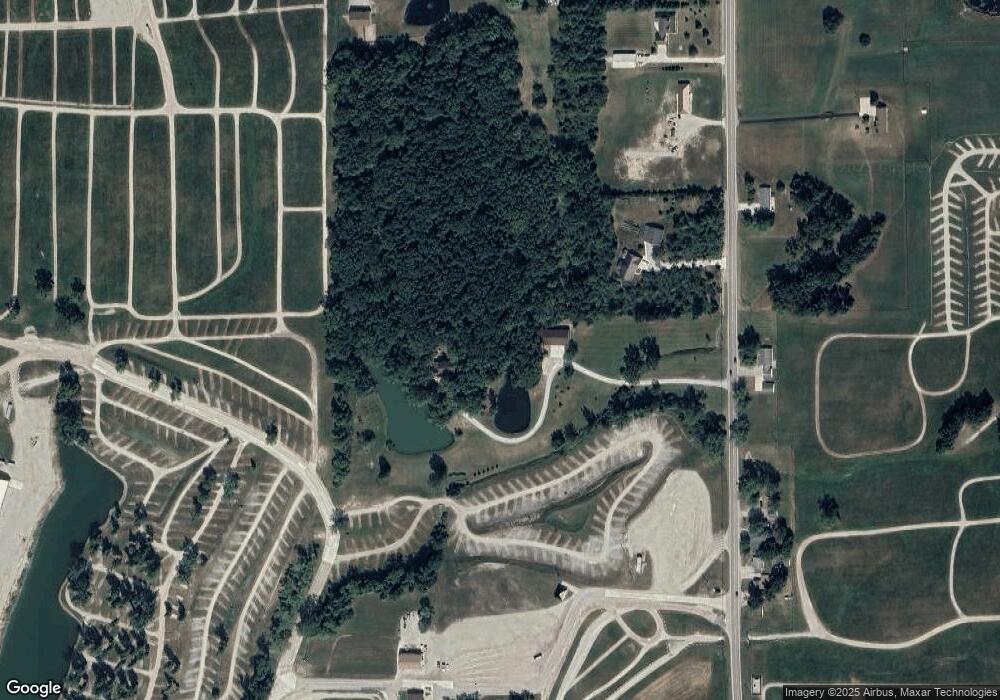
7215 State Route 66 Fort Loramie, OH 45845
Estimated Value: $533,000 - $577,229
4
Beds
3
Baths
3,130
Sq Ft
$176/Sq Ft
Est. Value
About This Home
This home is located at 7215 State Route 66, Fort Loramie, OH 45845 and is currently estimated at $552,076, approximately $176 per square foot. 7215 State Route 66 is a home located in Shelby County with nearby schools including Fort Loramie Elementary School and Fort Loramie Junior/Senior High School.
Ownership History
Date
Name
Owned For
Owner Type
Purchase Details
Closed on
Jan 29, 2007
Sold by
Holthaus Alfred F and Holthaus Rebecca L
Bought by
Barhorst Phillip J and Barhorst Laura R
Current Estimated Value
Home Financials for this Owner
Home Financials are based on the most recent Mortgage that was taken out on this home.
Original Mortgage
$216,000
Outstanding Balance
$129,375
Interest Rate
6.16%
Mortgage Type
Purchase Money Mortgage
Estimated Equity
$422,701
Purchase Details
Closed on
Nov 13, 2001
Sold by
Bailey Ronald W
Bought by
Holthaus Alfred F
Home Financials for this Owner
Home Financials are based on the most recent Mortgage that was taken out on this home.
Original Mortgage
$251,750
Interest Rate
6.72%
Mortgage Type
New Conventional
Purchase Details
Closed on
Apr 24, 1992
Bought by
Brown James G
Create a Home Valuation Report for This Property
The Home Valuation Report is an in-depth analysis detailing your home's value as well as a comparison with similar homes in the area
Home Values in the Area
Average Home Value in this Area
Purchase History
| Date | Buyer | Sale Price | Title Company |
|---|---|---|---|
| Barhorst Phillip J | $270,000 | Attorney | |
| Holthaus Alfred F | $265,000 | -- | |
| Brown James G | $167,500 | -- |
Source: Public Records
Mortgage History
| Date | Status | Borrower | Loan Amount |
|---|---|---|---|
| Open | Barhorst Phillip J | $216,000 | |
| Previous Owner | Holthaus Alfred F | $251,750 |
Source: Public Records
Tax History Compared to Growth
Tax History
| Year | Tax Paid | Tax Assessment Tax Assessment Total Assessment is a certain percentage of the fair market value that is determined by local assessors to be the total taxable value of land and additions on the property. | Land | Improvement |
|---|---|---|---|---|
| 2024 | $5,482 | $159,090 | $28,720 | $130,370 |
| 2023 | $5,482 | $159,090 | $28,720 | $130,370 |
| 2022 | $4,647 | $124,310 | $23,100 | $101,210 |
| 2021 | $4,696 | $124,310 | $23,100 | $101,210 |
| 2020 | $4,696 | $124,310 | $23,100 | $101,210 |
| 2019 | $4,290 | $112,790 | $18,330 | $94,460 |
| 2018 | $4,251 | $116,360 | $18,330 | $98,030 |
| 2017 | $4,270 | $116,360 | $18,330 | $98,030 |
| 2016 | $4,039 | $107,790 | $14,920 | $92,870 |
| 2015 | $4,004 | $107,790 | $14,920 | $92,870 |
| 2014 | $4,004 | $107,790 | $14,920 | $92,870 |
| 2013 | $3,984 | $99,220 | $14,920 | $84,300 |
Source: Public Records
Map
Nearby Homes
- 5025 Walzer Rd
- 8381 Ohio 66
- 6388 Stoker Rd
- Tract 4 Rd
- 11519 Eilerman Rd
- 12244 Short Dr Unit Condo Unit 10
- Russia-Versailles Rd
- 2165 Stillwater Rd
- 7 E 2nd St
- 47 N Frankfort St
- 11968 Arling Rd
- 193 N Paris St
- 8839 Murphy Rd
- 9900 Greenville Rd
- 17 Stonegate Dr
- 0 Stonegate Dr Unit 21 10544857
- 0 Stonegate Dr Unit 14 10544847
- 36 Shania Place Unit 23
- 27 Shania Place Unit 26
- 19 Shania Place Unit 33
- 7215 Ohio 66
- 7285 State Route 66
- 7236 State Route 66
- 7236 Ohio 66
- 7330 State Route 66
- 7381 State Route 66
- 7330 Ohio 66
- 7118 State Route 66
- 7110 Ohio 66
- 7100 State Route 66
- 7401 State Route 66
- 7435 State Route 66
- 7384 State Route 66
- 3458 Cardo Roman Rd
- 3434 Cardo Rd
- 7008 State Route 66
- 7483 State Route 66
- 3525 Vera St
- 3535 Cardo Rd
- 6950 State Route 66
