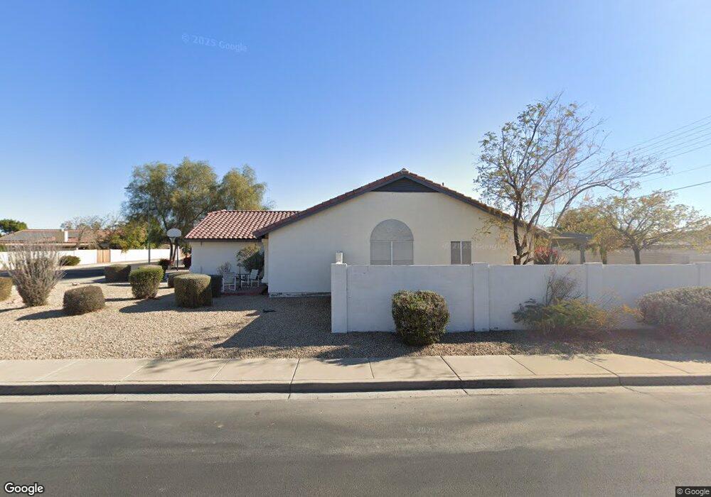
7215 W Wethersfield Rd Peoria, AZ 85381
Estimated Value: $484,705 - $545,000
--
Bed
3
Baths
2,023
Sq Ft
$255/Sq Ft
Est. Value
About This Home
This home is located at 7215 W Wethersfield Rd, Peoria, AZ 85381 and is currently estimated at $515,176, approximately $254 per square foot. 7215 W Wethersfield Rd is a home located in Maricopa County with nearby schools including Oakwood Elementary School, Cactus High School, and Legacy Traditional School - Glendale.
Ownership History
Date
Name
Owned For
Owner Type
Purchase Details
Closed on
Jul 10, 2013
Sold by
Ott James and Ott James C
Bought by
Ott James C and James C Ott Revocable Trust
Current Estimated Value
Purchase Details
Closed on
Jul 10, 2012
Sold by
White Joyce A
Bought by
Ott James
Home Financials for this Owner
Home Financials are based on the most recent Mortgage that was taken out on this home.
Original Mortgage
$105,760
Outstanding Balance
$16,279
Interest Rate
3.7%
Mortgage Type
New Conventional
Estimated Equity
$498,897
Purchase Details
Closed on
Apr 18, 2001
Sold by
Smith Sheldon P and Smith Dena S
Bought by
Ott James and White Joyce A
Home Financials for this Owner
Home Financials are based on the most recent Mortgage that was taken out on this home.
Original Mortgage
$123,600
Interest Rate
7.14%
Mortgage Type
New Conventional
Create a Home Valuation Report for This Property
The Home Valuation Report is an in-depth analysis detailing your home's value as well as a comparison with similar homes in the area
Home Values in the Area
Average Home Value in this Area
Purchase History
| Date | Buyer | Sale Price | Title Company |
|---|---|---|---|
| Ott James C | -- | None Available | |
| Ott James | -- | Great American Title Agency | |
| Ott James | $154,500 | Security Title Agency |
Source: Public Records
Mortgage History
| Date | Status | Borrower | Loan Amount |
|---|---|---|---|
| Open | Ott James | $105,760 | |
| Previous Owner | Ott James | $123,600 |
Source: Public Records
Tax History Compared to Growth
Tax History
| Year | Tax Paid | Tax Assessment Tax Assessment Total Assessment is a certain percentage of the fair market value that is determined by local assessors to be the total taxable value of land and additions on the property. | Land | Improvement |
|---|---|---|---|---|
| 2025 | $1,555 | $20,545 | -- | -- |
| 2024 | $1,575 | $19,566 | -- | -- |
| 2023 | $1,575 | $35,000 | $7,000 | $28,000 |
| 2022 | $1,542 | $27,130 | $5,420 | $21,710 |
| 2021 | $1,651 | $25,230 | $5,040 | $20,190 |
| 2020 | $1,667 | $24,080 | $4,810 | $19,270 |
| 2019 | $1,613 | $21,580 | $4,310 | $17,270 |
| 2018 | $1,560 | $20,210 | $4,040 | $16,170 |
| 2017 | $1,560 | $18,470 | $3,690 | $14,780 |
| 2016 | $1,545 | $17,670 | $3,530 | $14,140 |
| 2015 | $1,441 | $17,220 | $3,440 | $13,780 |
Source: Public Records
Map
Nearby Homes
- 7214 W Columbine Dr
- 7266 W Cherry Hills Dr
- 7220 W Larkspur Dr
- 7126 W Columbine Dr
- 7157 W Cherry Hills Dr
- 7233 W Corrine Dr
- 7418 W Corrine Dr
- 7113 W Sunnyside Dr
- 7126 W Jenan Dr
- 12709 N 72nd Ave
- 7225 W Canterbury Dr
- 7243 W Sierra St
- 6938 W Jenan Dr
- 7301 W Sweetwater Ave
- 11640 N 74th Dr
- 6914 W Sunnyside Dr Unit 3
- 7638 W Shaw Butte Dr
- 7545 W Jenan Dr
- 6849 W Wethersfield Rd
- 6845 W Charter Oak Rd
- 7209 W Wethersfield Rd
- 12210 N 72nd Dr
- 12309 N 72nd Dr
- 12220 N 72nd Dr
- 7203 W Wethersfield Rd
- 12310 N 72nd Dr
- 12304 N 72nd Ave
- 7250 W Shaw Butte Dr
- 12319 N 72nd Dr
- 7261 W Wethersfield Rd
- 7240 W Shaw Butte Dr
- 12320 N 72nd Dr
- 7258 W Shaw Butte Dr
- 7262 W Wethersfield Rd
- 12314 N 72nd Ave
- 12329 N 72nd Dr
- 7230 W Shaw Butte Dr
- 7167 W Wethersfield Rd
- 7267 W Wethersfield Rd
- 12330 N 72nd Dr