Estimated Value: $458,000 - $659,000
4
Beds
3
Baths
1,875
Sq Ft
$282/Sq Ft
Est. Value
About This Home
This home is located at 7216 S Rawson Bridge Rd, Cary, IL 60013 and is currently estimated at $528,573, approximately $281 per square foot. 7216 S Rawson Bridge Rd is a home located in McHenry County with nearby schools including Deer Path Elementary School, Cary Jr High School, and Cary-Grove High School.
Ownership History
Date
Name
Owned For
Owner Type
Purchase Details
Closed on
Apr 30, 2008
Sold by
Bury Daniel J and Bury Sandra T
Bought by
Freeman Laurie and Freeman Christopher A
Current Estimated Value
Home Financials for this Owner
Home Financials are based on the most recent Mortgage that was taken out on this home.
Original Mortgage
$315,000
Outstanding Balance
$199,488
Interest Rate
5.88%
Mortgage Type
Purchase Money Mortgage
Estimated Equity
$329,085
Create a Home Valuation Report for This Property
The Home Valuation Report is an in-depth analysis detailing your home's value as well as a comparison with similar homes in the area
Home Values in the Area
Average Home Value in this Area
Purchase History
| Date | Buyer | Sale Price | Title Company |
|---|---|---|---|
| Freeman Laurie | $350,000 | Heritage Title Company |
Source: Public Records
Mortgage History
| Date | Status | Borrower | Loan Amount |
|---|---|---|---|
| Open | Freeman Laurie | $315,000 |
Source: Public Records
Tax History
| Year | Tax Paid | Tax Assessment Tax Assessment Total Assessment is a certain percentage of the fair market value that is determined by local assessors to be the total taxable value of land and additions on the property. | Land | Improvement |
|---|---|---|---|---|
| 2024 | $8,693 | $116,741 | $35,561 | $81,180 |
| 2023 | $8,482 | $104,410 | $31,805 | $72,605 |
| 2022 | $7,947 | $95,213 | $33,340 | $61,873 |
| 2021 | $7,572 | $88,702 | $31,060 | $57,642 |
| 2020 | $7,345 | $85,561 | $29,960 | $55,601 |
| 2019 | $7,194 | $81,892 | $28,675 | $53,217 |
| 2018 | $6,768 | $75,651 | $26,490 | $49,161 |
| 2017 | $6,630 | $71,268 | $24,955 | $46,313 |
| 2016 | $6,574 | $66,843 | $23,406 | $43,437 |
| 2013 | -- | $84,570 | $21,835 | $62,735 |
Source: Public Records
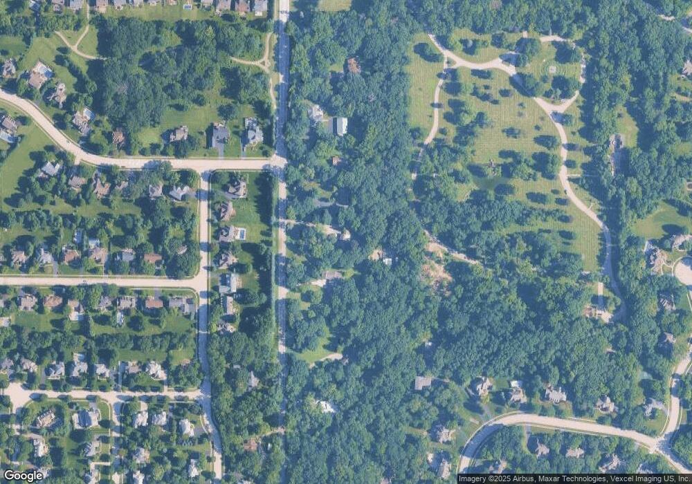
Map
Nearby Homes
- 612 3 Oaks Rd
- 4 Kenilworth Ct
- Lot 10 Grove Ln
- Lot 11 Grove Ln
- 365 Oakmont Dr
- 331 Parkstone Dr
- 7149 Meadow Ln
- 6414 Kingsbridge Dr
- 237 Foxford Dr
- 0000 Newbold Rd
- LOT 02 Three Oaks Rd
- Lot 7 Hickory Nut Grove Rd
- 24881 N Black Walnut
- 28413 W Harvest Glen Cir
- 24744 N Golden Oat Cir
- Lot 11 Park Dr
- 611 E Main Street Rd
- 47 Sunset Dr
- 651 S Circle Ave
- 138 Eastwood Ave
- 7208 S Rawson Bridge Rd
- 7302 S Rawson Bridge Rd
- 7204 S Rawson Bridge Rd
- 7104 Dove Way
- 7106 Dove Way
- 7314 S Rawson Bridge Rd
- 7200 Dove Way
- 7100 Dove Way
- 7116 S Rawson Bridge Rd
- 7102 Dove Way
- 7202 Dove Way
- 1100 Mink Trail
- 7204 Dove Way
- 1102 Mink Trail
- 1100 Cougar Trail
- 7318 S Rawson Bridge Rd
- 7402 S Rawson Bridge Rd
- 1101 Mink Trail
- 7108 S Rawson Bridge Rd
- 1101 Cougar Trail
Your Personal Tour Guide
Ask me questions while you tour the home.