Estimated Value: $235,000 - $347,000
2
Beds
1
Bath
1,448
Sq Ft
$196/Sq Ft
Est. Value
About This Home
This home is located at 7216 State Route 162, Troy, IL 62294 and is currently estimated at $284,466, approximately $196 per square foot. 7216 State Route 162 is a home located in Madison County with nearby schools including Silver Creek Elementary School, Triad Middle School, and Triad High School.
Ownership History
Date
Name
Owned For
Owner Type
Purchase Details
Closed on
Nov 24, 2004
Sold by
Amos Edgar L and Amos Freda J
Bought by
Hardwick Kenneth E
Current Estimated Value
Home Financials for this Owner
Home Financials are based on the most recent Mortgage that was taken out on this home.
Original Mortgage
$102,000
Outstanding Balance
$54,675
Interest Rate
6.8%
Mortgage Type
New Conventional
Estimated Equity
$229,791
Create a Home Valuation Report for This Property
The Home Valuation Report is an in-depth analysis detailing your home's value as well as a comparison with similar homes in the area
Home Values in the Area
Average Home Value in this Area
Purchase History
| Date | Buyer | Sale Price | Title Company |
|---|---|---|---|
| Hardwick Kenneth E | $127,500 | -- |
Source: Public Records
Mortgage History
| Date | Status | Borrower | Loan Amount |
|---|---|---|---|
| Open | Hardwick Kenneth E | $102,000 | |
| Closed | Hardwick Kenneth E | $25,500 |
Source: Public Records
Tax History
| Year | Tax Paid | Tax Assessment Tax Assessment Total Assessment is a certain percentage of the fair market value that is determined by local assessors to be the total taxable value of land and additions on the property. | Land | Improvement |
|---|---|---|---|---|
| 2024 | $4,100 | $63,530 | $12,740 | $50,790 |
| 2023 | $4,100 | $57,680 | $11,570 | $46,110 |
| 2022 | $3,814 | $53,110 | $10,650 | $42,460 |
| 2021 | $3,574 | $50,470 | $10,120 | $40,350 |
| 2020 | $3,580 | $49,170 | $9,860 | $39,310 |
| 2019 | $3,532 | $48,160 | $9,660 | $38,500 |
| 2018 | $3,456 | $44,620 | $8,950 | $35,670 |
| 2017 | $3,350 | $43,690 | $8,760 | $34,930 |
| 2016 | $3,321 | $43,690 | $8,760 | $34,930 |
| 2015 | $2,918 | $42,240 | $8,470 | $33,770 |
| 2014 | $2,918 | $33,000 | $8,470 | $24,530 |
| 2013 | $2,918 | $33,000 | $8,470 | $24,530 |
Source: Public Records
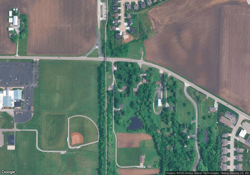
Map
Nearby Homes
- 205 Eisenhower Blvd
- 0 Homes of Liberty Place
- 213 George Bush Blvd
- 221 George Bush Blvd
- 2002 Morningside Place
- 224 George Bush Blvd
- 7300 Fulham Ln Unit B
- 308 George Bush Blvd
- 420 Chamberlain Dr
- 421 Chamberlain Dr
- 404 Rumsfeld Dr
- 620 Eisenhower Blvd
- 2108 Tuscany Ridge Ct
- 421 George Bush Blvd
- 821 Copper Ridge
- 7430 Clarence Ct
- 1847 Robins Mill Ct
- 1847 Appleton Ct
- 1824 Appleton Ct
- 6845 Manchester Dr
- 7210 State Route 162
- 2100 Kennedy Dr
- 2106 Kennedy Dr
- 101 Eisenhower Blvd
- 0 State Route 162 Unit 21044474
- 0 State Route 162 Unit 21044462
- 0 State Route 162 Unit 10866330
- 0 State Route 162 Unit CA122962
- 7260 State Route 162
- 100 Eisenhower Blvd
- 0 State Route 162
- 7270 State Route 162
- 105 Eisenhower Blvd
- 104 Eisenhower Blvd
- 109 Eisenhower Blvd
- 108 Eisenhower Blvd
- 113 Eisenhower
- 112 Eisenhower Blvd
- 7300 Winding Rose Ln
- 116 Eisenhower Blvd
Your Personal Tour Guide
Ask me questions while you tour the home.