7217 Mt Baker Hwy Deming, WA 98244
Estimated Value: $228,554 - $605,000
3
Beds
1
Bath
1,000
Sq Ft
$451/Sq Ft
Est. Value
About This Home
This home is located at 7217 Mt Baker Hwy, Deming, WA 98244 and is currently estimated at $450,889, approximately $450 per square foot. 7217 Mt Baker Hwy is a home located in Whatcom County with nearby schools including Mount Baker Senior High School.
Ownership History
Date
Name
Owned For
Owner Type
Purchase Details
Closed on
May 13, 2004
Sold by
Zollatz Richard E and Howard Kathleen J
Bought by
Benson Una M
Current Estimated Value
Purchase Details
Closed on
Aug 19, 2003
Sold by
Zollatz Richard E
Bought by
Howard Kathleen and Zollatz Richard E
Purchase Details
Closed on
Apr 8, 2003
Sold by
Haywood Dorothy P
Bought by
Zollatz Richard E and Benson Una M
Create a Home Valuation Report for This Property
The Home Valuation Report is an in-depth analysis detailing your home's value as well as a comparison with similar homes in the area
Home Values in the Area
Average Home Value in this Area
Purchase History
| Date | Buyer | Sale Price | Title Company |
|---|---|---|---|
| Benson Una M | $58,000 | -- | |
| Howard Kathleen | -- | -- | |
| Zollatz Richard E | -- | -- |
Source: Public Records
Tax History Compared to Growth
Tax History
| Year | Tax Paid | Tax Assessment Tax Assessment Total Assessment is a certain percentage of the fair market value that is determined by local assessors to be the total taxable value of land and additions on the property. | Land | Improvement |
|---|---|---|---|---|
| 2024 | $988 | $414,718 | $255,460 | $159,258 |
| 2023 | $988 | $392,987 | $250,846 | $142,141 |
| 2022 | $934 | $322,113 | $205,607 | $74,892 |
| 2021 | $932 | $259,766 | $165,810 | $74,892 |
| 2020 | $857 | $220,139 | $140,516 | $79,623 |
| 2019 | $814 | $193,959 | $123,805 | $70,154 |
| 2018 | $1,095 | $187,003 | $119,365 | $67,638 |
| 2017 | $1,041 | $218,266 | $137,508 | $80,758 |
| 2016 | $995 | $210,686 | $132,733 | $77,953 |
| 2015 | $924 | $201,213 | $126,765 | $74,448 |
| 2014 | -- | $0 | $0 | $0 |
| 2013 | -- | $0 | $0 | $0 |
Source: Public Records
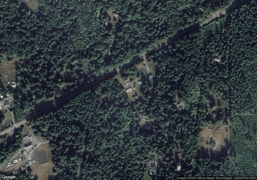
Map
Nearby Homes
- 203 1 Fireside Lodge
- 7326 Mount Baker Hwy
- 40 2 Wilderness Way
- 19 7 Big Tree Dr
- 47 Wilderness Way
- 84 Wilderness Way
- 71 2 Wilderness Way
- 104 Pioneer Cir
- 171 4 Christmas Tree Cir
- 7417 Woodshire Rd
- 178 4 Christmas Tree Cir
- 59 4 Christmas Tree Cir
- 165 4 Christmas Tree Cir
- 67 4 Christmas Tree Cir
- 106 2 Pioneer Cir
- 1 Goldrush Rd
- 48 4 Branch Cir
- 90 4 Christmas Tree Cir
- 62 2 Wilderness Way
- 35 Branch Cir
- 7229 Mt Baker Hwy
- 7203 Mount Baker Hwy
- 7770 Ambridge Rd
- 0 XXXX Mount Baker Hwy
- 9492 Mount Baker Hwy
- 7710 Shady Ridge Rd
- 7800 Ambridge Rd
- 196 Big River Blvd
- 164 Fireside Lodge Cir
- 164 Fireside Lodge Cir Unit 164
- 156 Big River Blvd
- 204 Fireside Lodge Cir
- 179 Fireside Lodge Cir
- 127 Big River Blvd
- 215 Big River Blvd E
- 76 Big River Blvd W
- 8 Big River Blvd
- 1 Fireside Lodge Cir
- 44 Big River Blvd
- 76 5 Big River Blvd