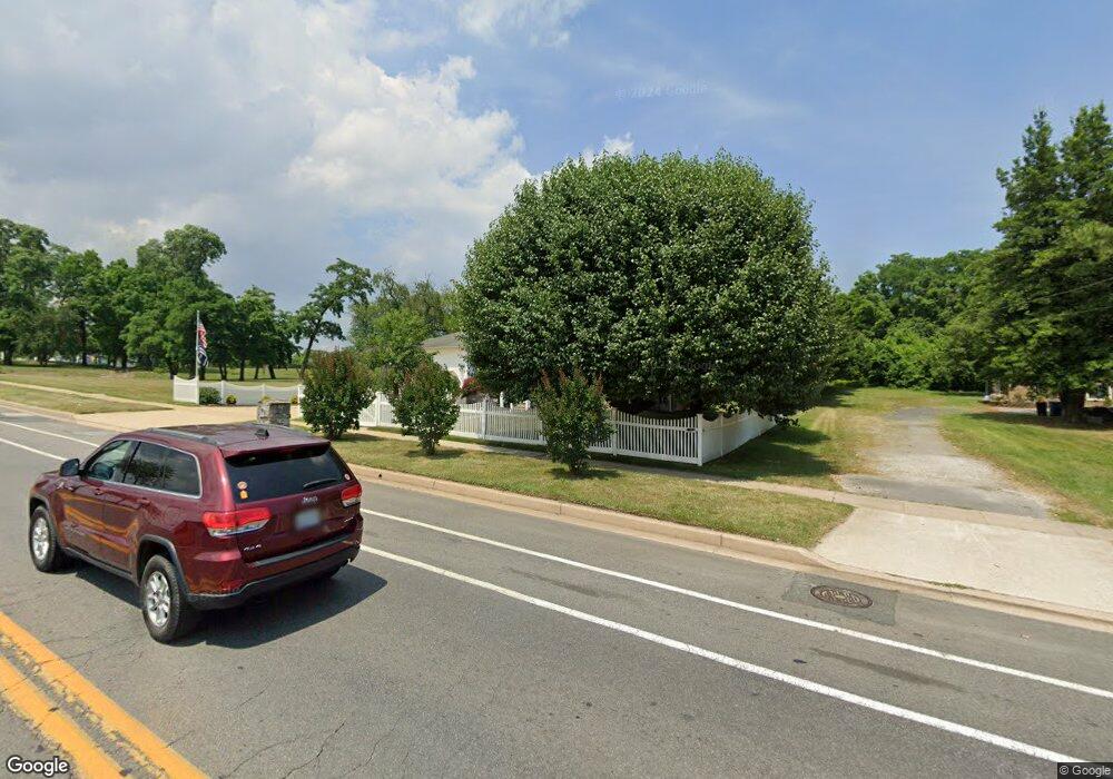
7218 Sollers Point Rd Dundalk, MD 21222
Estimated Value: $376,759 - $412,000
Studio
2
Baths
2,030
Sq Ft
$196/Sq Ft
Est. Value
About This Home
This home is located at 7218 Sollers Point Rd, Dundalk, MD 21222 and is currently estimated at $397,190, approximately $195 per square foot. 7218 Sollers Point Rd is a home located in Baltimore County with nearby schools including Logan Elementary, Dundalk Middle School, and Dundalk High School.
Ownership History
Date
Name
Owned For
Owner Type
Purchase Details
Closed on
Feb 28, 2005
Sold by
Maykrantz Charles R
Bought by
Maykrantz Charles R Melinda G and Blankenship Sara E
Current Estimated Value
Home Financials for this Owner
Home Financials are based on the most recent Mortgage that was taken out on this home.
Original Mortgage
$330,000
Outstanding Balance
$176,166
Interest Rate
5.83%
Mortgage Type
Construction
Estimated Equity
$221,024
Purchase Details
Closed on
Aug 5, 1999
Sold by
Miller Harold W
Bought by
Maykrantz Charles R and Maykrantz Melinda G
Create a Home Valuation Report for This Property
The Home Valuation Report is an in-depth analysis detailing your home's value as well as a comparison with similar homes in the area
Home Values in the Area
Average Home Value in this Area
Purchase History
| Date | Buyer | Sale Price | Title Company |
|---|---|---|---|
| Maykrantz Charles R Melinda G | -- | -- | |
| Maykrantz Charles R | $132,750 | -- |
Source: Public Records
Mortgage History
| Date | Status | Borrower | Loan Amount |
|---|---|---|---|
| Open | Maykrantz Charles R Melinda G | $330,000 |
Source: Public Records
Tax History
| Year | Tax Paid | Tax Assessment Tax Assessment Total Assessment is a certain percentage of the fair market value that is determined by local assessors to be the total taxable value of land and additions on the property. | Land | Improvement |
|---|---|---|---|---|
| 2025 | $4,763 | $341,300 | -- | -- |
| 2024 | $4,763 | $318,400 | $0 | $0 |
| 2023 | $2,157 | $295,500 | $70,300 | $225,200 |
| 2022 | $6,600 | $277,233 | $0 | $0 |
| 2021 | $4,405 | $258,967 | $0 | $0 |
| 2020 | $2,917 | $240,700 | $70,300 | $170,400 |
| 2019 | $2,871 | $236,867 | $0 | $0 |
| 2018 | $3,851 | $233,033 | $0 | $0 |
| 2017 | $3,705 | $229,200 | $0 | $0 |
| 2016 | $3,654 | $228,667 | $0 | $0 |
| 2015 | $3,654 | $228,133 | $0 | $0 |
| 2014 | $3,654 | $227,600 | $0 | $0 |
Source: Public Records
Map
Nearby Homes
- 1940H Robinwood Rd
- 7111 Sollers Point Rd
- 7151 Sollers Point Rd
- 100 Shipway
- 7150 Smoke Stack Rd
- 2616 Liberty Pkwy
- 7113 Foundry St
- 1911 Sunberry Rd
- 7252 Meadow Ln
- 2924 Sollers Point Rd
- 1954 Stanhope Rd
- 1930 Stanhope Rd
- 2012 Wareham Rd
- 1935 Stanhope Rd
- 2953 Yorkway
- 37 Liberty Pkwy
- 35 Kinship Rd
- 49 Kinship Rd
- 7449 Lawrence Rd Unit D
- 2782 Moorgate Rd
- 7222 Sollers Point Rd
- 7226 Sollers Point Rd
- 7230 Sollers Point Rd
- 7232 Sollers Point Rd
- 1940 Robinwood Rd Unit H
- 1940 Robinwood Rd
- 7236 Sollers Point Rd
- 1938 Robinwood Rd
- 1936 Robinwood Rd
- 1930 Robinwood Rd
- 7107 Sollers Point Rd
- 7109 Sollers Point Rd
- 7105 Sollers Point Rd
- 7113 Sollers Point Rd
- 1934 Robinwood Rd
- 1932 Robinwood Rd
- 1928 Robinwood Rd
- 7240 Sollers Point Rd
- 1926 Robinwood Rd
Your Personal Tour Guide
Ask me questions while you tour the home.