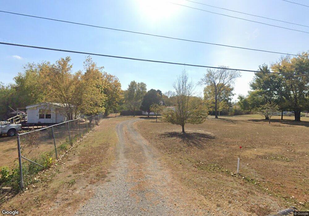
7219 Border Ave Muskogee, OK 74401
Estimated Value: $76,000 - $225,000
3
Beds
2
Baths
1,728
Sq Ft
$86/Sq Ft
Est. Value
About This Home
This home is located at 7219 Border Ave, Muskogee, OK 74401 and is currently estimated at $149,354, approximately $86 per square foot. 7219 Border Ave is a home located in Muskogee County with nearby schools including Cherokee Elementary School, 8th & 9th Grade Academy @ Alice Robertson, and Muskogee High School.
Ownership History
Date
Name
Owned For
Owner Type
Purchase Details
Closed on
Jun 7, 2022
Sold by
Bc Properties Of Oklahoma Llc
Bought by
Beights Cory
Current Estimated Value
Purchase Details
Closed on
Jul 12, 2011
Sold by
Nicholson Don L and Nicholson Ruby Kay
Bought by
Nicholson Don L and Nicholson Ruby Kay
Purchase Details
Closed on
Feb 22, 2007
Sold by
Shock Jerry E and Shock Virginia C
Bought by
Citi Group Consumer Finance Inc
Purchase Details
Closed on
May 5, 1998
Purchase Details
Closed on
Dec 26, 1996
Create a Home Valuation Report for This Property
The Home Valuation Report is an in-depth analysis detailing your home's value as well as a comparison with similar homes in the area
Home Values in the Area
Average Home Value in this Area
Purchase History
| Date | Buyer | Sale Price | Title Company |
|---|---|---|---|
| Beights Cory | -- | None Listed On Document | |
| Nicholson Don L | -- | None Available | |
| Citi Group Consumer Finance Inc | $71,566 | None Available | |
| -- | $40,000 | -- | |
| -- | $30,000 | -- |
Source: Public Records
Tax History Compared to Growth
Tax History
| Year | Tax Paid | Tax Assessment Tax Assessment Total Assessment is a certain percentage of the fair market value that is determined by local assessors to be the total taxable value of land and additions on the property. | Land | Improvement |
|---|---|---|---|---|
| 2025 | $603 | $6,842 | $991 | $5,851 |
| 2024 | $603 | $6,643 | $962 | $5,681 |
| 2023 | $603 | $6,449 | $739 | $5,710 |
| 2022 | $539 | $6,449 | $739 | $5,710 |
| 2021 | $586 | $6,895 | $726 | $6,169 |
| 2020 | $561 | $6,694 | $726 | $5,968 |
| 2019 | $531 | $7,207 | $726 | $6,481 |
| 2018 | $502 | $7,207 | $726 | $6,481 |
| 2017 | $474 | $6,126 | $726 | $5,400 |
| 2016 | $481 | $6,126 | $726 | $5,400 |
| 2015 | $479 | $6,126 | $726 | $5,400 |
| 2014 | $488 | $6,126 | $726 | $5,400 |
Source: Public Records
Map
Nearby Homes
- 1741 S 64th St W
- 501 S 64th St W
- 1231 S 61st St W
- 000000 N 12th
- 1500 W Shawnee
- 2251 S 64th St W
- 1005 Kershaw Dr
- 907 Kershaw Dr
- 0 Junction St Unit 2537657
- 711 W Broadway St
- 5431 Estelle
- 5419 Pine St
- 8031 W 16th St N
- 7860 W 16th St N
- 0 W Hancock St Unit 16398614
- 0 W Hancock St Unit 2544790
- 6 U S Highway 64
- 5400 Rolling Oaks Trail
- 5016 Denison St
- 6351 W 23rd St N
- 7209 Border Ave
- 7030 Border Ave
- 7239 Border Ave
- 7031 Border Ave
- 7011 Border Ave
- 7021 Border Ave
- 1321 S 73rd St W
- 7001 Border Ave
- 7399 W Border St
- 7399 Border Ave
- 1280 S 74th St W
- 1273 S 74th St W
- 1102 S 74th St W
- 1117 S 74th St W
- 6801 Border Ave
- 7425 Border Ave
- 1041 S 74th St W
- 7435 Border Ave
- 910 S 74th St W
- 921 S 74th St W