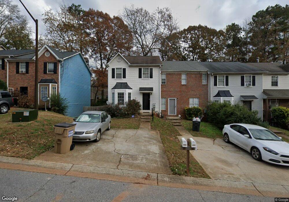
7219 Crestside Dr Austell, GA 30168
Estimated Value: $142,099 - $176,000
2
Beds
3
Baths
1,292
Sq Ft
$121/Sq Ft
Est. Value
About This Home
This home is located at 7219 Crestside Dr, Austell, GA 30168 and is currently estimated at $156,275, approximately $120 per square foot. 7219 Crestside Dr is a home located in Cobb County with nearby schools including Bryant Elementary School, Lindley Middle School, and Pebblebrook High School.
Ownership History
Date
Name
Owned For
Owner Type
Purchase Details
Closed on
Jun 6, 2008
Sold by
Pjetri Ilir
Bought by
Tuggle Brenda C
Current Estimated Value
Home Financials for this Owner
Home Financials are based on the most recent Mortgage that was taken out on this home.
Original Mortgage
$59,946
Outstanding Balance
$38,122
Interest Rate
5.96%
Mortgage Type
New Conventional
Estimated Equity
$118,153
Purchase Details
Closed on
Mar 17, 2008
Sold by
Gsaa Trust 2005-14
Bought by
Pjetri Ilir
Purchase Details
Closed on
May 26, 2005
Sold by
Vines Brenda and Vines Denny
Bought by
Boykin Theron
Home Financials for this Owner
Home Financials are based on the most recent Mortgage that was taken out on this home.
Original Mortgage
$20,000
Interest Rate
5.69%
Mortgage Type
Stand Alone Refi Refinance Of Original Loan
Create a Home Valuation Report for This Property
The Home Valuation Report is an in-depth analysis detailing your home's value as well as a comparison with similar homes in the area
Home Values in the Area
Average Home Value in this Area
Purchase History
| Date | Buyer | Sale Price | Title Company |
|---|---|---|---|
| Tuggle Brenda C | $61,800 | -- | |
| Pjetri Ilir | $33,500 | -- | |
| Boykin Theron | $97,400 | -- |
Source: Public Records
Mortgage History
| Date | Status | Borrower | Loan Amount |
|---|---|---|---|
| Open | Tuggle Brenda C | $59,946 | |
| Previous Owner | Boykin Theron | $20,000 |
Source: Public Records
Tax History
| Year | Tax Paid | Tax Assessment Tax Assessment Total Assessment is a certain percentage of the fair market value that is determined by local assessors to be the total taxable value of land and additions on the property. | Land | Improvement |
|---|---|---|---|---|
| 2025 | $272 | $48,352 | $11,200 | $37,152 |
| 2024 | $300 | $57,512 | $11,200 | $46,312 |
| 2023 | $76 | $51,324 | $6,000 | $45,324 |
Source: Public Records
Map
Nearby Homes
- 7224 Crestside Dr Unit 1
- 7238 Crestside Dr Unit 79
- 776 Crestside Ct
- 6964 Chasewater Ln
- 7244 Rockhouse Rd Unit 7
- 1173 Summerstone Trace
- 760 Wade Farm Dr
- 7254 Silverton Trail
- 1195 Park Center Cir
- 1273 Summerstone Trace
- 1090 Blair Bridge Rd
- 1194 Park Center Cir
- 1190 Park Center Cir
- 1163 Park Center Cir
- 0 Hembree Ln Unit 10633605
- 00 Hembree Ln
- 6794 Hembree Dr
- 1329 Ling Dr
- 6938 Oakhill Cir
- 7080 Fringe Flower Dr Unit 18
- 7219 Crestside Dr Unit 7219
- 7221 Crestside Dr Unit 7221
- 7217 Crestside Dr
- 7217 Crestside Dr Unit 7217
- 7223 Crestside Dr
- 7223 Crestside Dr Unit 7223
- 7215 Crestside Dr
- 7215 Crestside Dr
- 7225 Crestside Dr Unit 1
- 7213 Crestside Dr
- 769 Crestside Ct Unit 1
- 767 Crestside Ct
- 771 Crestside Ct
- 771 Crestside Ct
- 7211 Crestside Dr Unit 7211
- 7211 Crestside Dr
- 7211 Crestside Dr Unit none
- 7227 Crestside Dr
- 7227 Crestside Dr Unit 7227
- 773 Crestside Ct Unit 1
Your Personal Tour Guide
Ask me questions while you tour the home.