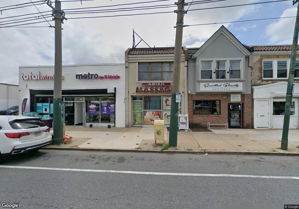
7219 Frankford Ave Philadelphia, PA 19135
Tacony NeighborhoodEstimated Value: $356,925
--
Bed
2
Baths
2,024
Sq Ft
$176/Sq Ft
Est. Value
About This Home
This home is located at 7219 Frankford Ave, Philadelphia, PA 19135 and is currently estimated at $356,925, approximately $176 per square foot. 7219 Frankford Ave is a home located in Philadelphia County with nearby schools including Edwin Forrest Elementary School, Lincoln High School, and Meehan Austin Middle School.
Ownership History
Date
Name
Owned For
Owner Type
Purchase Details
Closed on
Dec 5, 2001
Sold by
Horowitz Lea T
Bought by
Hdm Investments Llc
Current Estimated Value
Home Financials for this Owner
Home Financials are based on the most recent Mortgage that was taken out on this home.
Original Mortgage
$76,500
Outstanding Balance
$29,635
Interest Rate
6.6%
Mortgage Type
Commercial
Estimated Equity
$327,290
Create a Home Valuation Report for This Property
The Home Valuation Report is an in-depth analysis detailing your home's value as well as a comparison with similar homes in the area
Home Values in the Area
Average Home Value in this Area
Purchase History
| Date | Buyer | Sale Price | Title Company |
|---|---|---|---|
| Hdm Investments Llc | $85,000 | Stewart Title Guaranty Compa |
Source: Public Records
Mortgage History
| Date | Status | Borrower | Loan Amount |
|---|---|---|---|
| Open | Hdm Investments Llc | $76,500 |
Source: Public Records
Tax History Compared to Growth
Tax History
| Year | Tax Paid | Tax Assessment Tax Assessment Total Assessment is a certain percentage of the fair market value that is determined by local assessors to be the total taxable value of land and additions on the property. | Land | Improvement |
|---|---|---|---|---|
| 2026 | $2,857 | $210,800 | $42,160 | $168,640 |
| 2025 | $2,857 | $210,800 | $42,160 | $168,640 |
| 2024 | $2,857 | $210,800 | $42,160 | $168,640 |
| 2023 | $2,857 | $204,100 | $40,820 | $163,280 |
| 2022 | $2,585 | $204,100 | $40,820 | $163,280 |
| 2021 | $2,585 | $0 | $0 | $0 |
| 2020 | $2,585 | $0 | $0 | $0 |
| 2019 | $2,560 | $0 | $0 | $0 |
| 2018 | $2,486 | $0 | $0 | $0 |
| 2017 | $3,404 | $0 | $0 | $0 |
| 2016 | $3,404 | $0 | $0 | $0 |
| 2015 | $3,259 | $0 | $0 | $0 |
| 2014 | -- | $243,200 | $13,744 | $229,456 |
Source: Public Records
Map
Nearby Homes
- 3532 Englewood St
- 7140 Erdrick St
- 3522 Englewood St
- 7139 Charles St
- 3515 Englewood St
- 7117 Charles St
- 7239 Montague St
- 4056 Teesdale St
- 7232 Walker St
- 4057 Teesdale St
- 4233 Cottman Ave
- 4046 Aldine St
- 7127 Montague St
- 3438 Saint Vincent St
- 7210 Algard St
- 3550 Tudor St
- 7133 Walker St
- 4018 Tudor St
- 3420 Englewood St
- 3427 Cottman Ave
- 7221-23 Frankford Ave
- 7221 Frankford Ave
- 7201-11 Frankford Ave
- 7201 Frankford Ave
- 7238 Frankford Ave
- 7218 Charles St
- 7216 Charles St
- 7214 Charles St
- 7222 Charles St
- 7220 Charles St
- 7210 Charles St
- 7224 Charles St
- 7226 Charles St
- 7208 Charles St
- 7255 Frankford Ave
- 7232 Frankford Ave
- 7236 Frankford Ave Unit 2ND F
- 7236 Frankford Ave
- 7236 Frankford Ave Unit 1ST F
- 7236 Frankford Ave Unit 2ND R