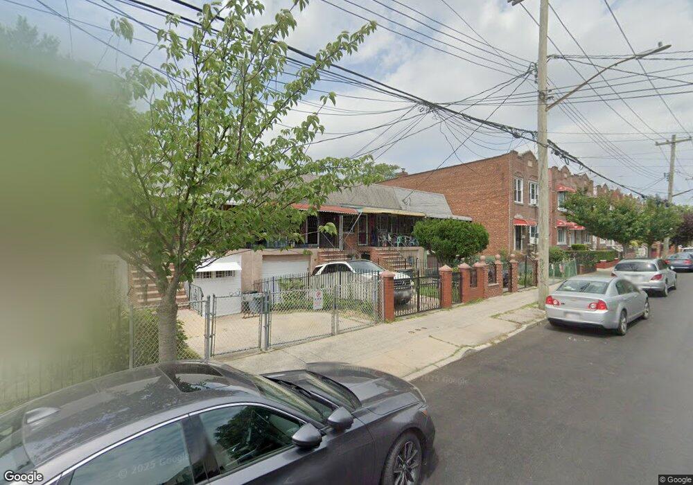
722-722A Logan St Brooklyn, NY 11208
East New York NeighborhoodEstimated Value: $719,156 - $936,000
About This Home
This home is located at 722-722A Logan St, Brooklyn, NY 11208 and is currently estimated at $826,539, approximately $536 per square foot. 722-722A Logan St is a home located in Kings County with nearby schools including P.S. 202 Ernest S Jenkyns, Our World Neighborhood Charter School 2, and Brownsville Collegiate Charter School.
Ownership History
We collect this data history from publicly available records. To have your information removed, we recommend requesting removal directly through your county’s website.
Purchase Details
Home Financials for this Owner
Home Financials are based on the most recent Mortgage that was taken out on this home.Purchase Details
Home Values in the Area
Average Home Value in this Area
Purchase History
We collect this data history from publicly available records. To have your information removed, we recommend requesting removal directly through your county’s website.
| Date | Buyer | Sale Price | Title Company |
|---|---|---|---|
| $269,000 | -- | ||
| $157,000 | -- |
Mortgage History
We collect this data history from publicly available records. To have your information removed, we recommend requesting removal directly through your county’s website.
| Date | Status | Borrower | Loan Amount |
|---|---|---|---|
| Previous Owner | $266,800 |
Tax History
We collect this data history from publicly available records. To have your information removed, we recommend requesting removal directly through your county’s website.
| Year | Tax Paid | Tax Assessment Tax Assessment Total Assessment is a certain percentage of the fair market value that is determined by local assessors to be the total taxable value of land and additions on the property. | Land | Improvement |
|---|---|---|---|---|
| 2026 | $5,139 | $42,420 | $10,080 | $32,340 |
| 2025 | $4,836 | $48,720 | $10,080 | $38,640 |
| 2024 | $4,836 | $42,360 | $10,080 | $32,280 |
| 2023 | $4,890 | $46,800 | $10,080 | $36,720 |
| 2022 | $4,557 | $39,780 | $10,080 | $29,700 |
| 2021 | $4,521 | $41,820 | $10,080 | $31,740 |
| 2019 | $4,149 | $37,440 | $10,080 | $27,360 |
| 2018 | $4,031 | $21,232 | $6,392 | $14,840 |
| 2017 | $3,822 | $20,220 | $9,596 | $10,624 |
| 2016 | $3,504 | $19,076 | $7,704 | $11,372 |
| 2015 | $1,812 | $18,753 | $7,083 | $11,670 |
| 2014 | $1,812 | $17,694 | $6,951 | $10,743 |
Map
- 461 Milford St
- 477 Milford St
- 479 Milford St
- 393 Montauk Ave
- 412 Montauk Ave
- 517 Milford St
- 791 Logan St
- 378 Montauk Ave
- 388 Atkins Ave
- 1094 Blake Ave Unit 2FAM
- 1109 Blake Ave
- 369 Berriman St
- 956 Hegeman Ave
- 321 Milford St
- 1371-1373 Dumont Ave
- 738 Shepherd Ave
- 658 Pine St
- 764 Shepherd Ave
- 577 Logan St
- 1140 Sutter Ave
- 724 Logan St
- 722 Logan St Unit 722A
- 722A Logan St
- 726 Logan St
- 720 Logan St
- 730 Logan St
- 716 Logan St
- 732 Logan St
- 714 Logan St
- 714 Logan St Unit 2
- 449 Milford St
- 734 Logan St
- 455 Milford St
- 447 Milford St
- 457 Milford St
- 445 Milford St
- 445 Milford St Unit 4457/0058
- 453 Milford St
- 453 Milford St Unit 2
- 453 Milford St Unit 1
Ask me questions while you tour the home.