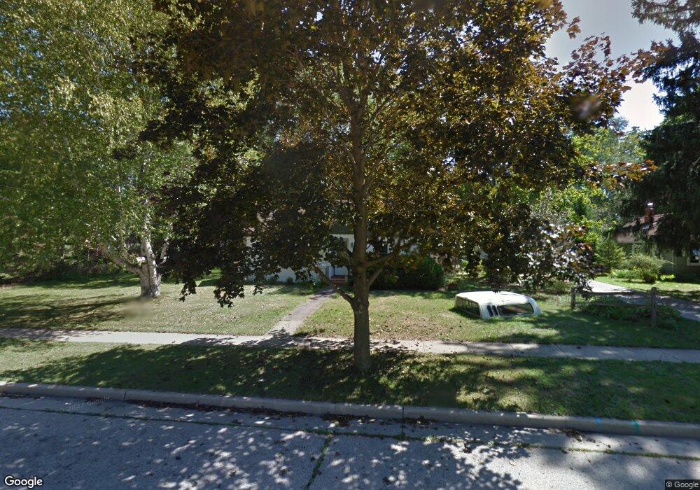
722 Bryant St Mukwonago, WI 53149
Estimated Value: $290,271 - $352,000
2
Beds
1
Bath
--
Sq Ft
0.47
Acres
About This Home
This home is located at 722 Bryant St, Mukwonago, WI 53149 and is currently estimated at $324,818. 722 Bryant St is a home located in Waukesha County with nearby schools including Clarendon Avenue Elementary School, Park View Middle School, and Mukwonago High School.
Ownership History
Date
Name
Owned For
Owner Type
Purchase Details
Closed on
Nov 8, 2002
Sold by
Morearty Timothy R and Morearty Lisa M
Bought by
Chatterton Scott and Anderson Wendy
Current Estimated Value
Home Financials for this Owner
Home Financials are based on the most recent Mortgage that was taken out on this home.
Original Mortgage
$125,000
Interest Rate
6.13%
Mortgage Type
Purchase Money Mortgage
Purchase Details
Closed on
Nov 20, 1996
Sold by
Raduenz Kathleen M and Kapp Kathleen M
Bought by
Morearty Timothy R and Morearty Lisa M
Home Financials for this Owner
Home Financials are based on the most recent Mortgage that was taken out on this home.
Original Mortgage
$94,172
Interest Rate
7.94%
Mortgage Type
FHA
Create a Home Valuation Report for This Property
The Home Valuation Report is an in-depth analysis detailing your home's value as well as a comparison with similar homes in the area
Home Values in the Area
Average Home Value in this Area
Purchase History
| Date | Buyer | Sale Price | Title Company |
|---|---|---|---|
| Chatterton Scott | $140,000 | -- | |
| Morearty Timothy R | $96,500 | -- |
Source: Public Records
Mortgage History
| Date | Status | Borrower | Loan Amount |
|---|---|---|---|
| Previous Owner | Chatterton Scott | $125,000 | |
| Previous Owner | Morearty Timothy R | $94,172 |
Source: Public Records
Tax History Compared to Growth
Tax History
| Year | Tax Paid | Tax Assessment Tax Assessment Total Assessment is a certain percentage of the fair market value that is determined by local assessors to be the total taxable value of land and additions on the property. | Land | Improvement |
|---|---|---|---|---|
| 2024 | $2,848 | $257,000 | $90,000 | $167,000 |
| 2023 | $2,580 | $159,000 | $48,500 | $110,500 |
| 2022 | $2,563 | $159,000 | $48,500 | $110,500 |
| 2021 | $2,380 | $159,000 | $48,500 | $110,500 |
| 2020 | $2,477 | $159,000 | $48,500 | $110,500 |
| 2019 | $2,344 | $159,000 | $48,500 | $110,500 |
| 2018 | $2,329 | $159,000 | $48,500 | $110,500 |
| 2017 | $2,449 | $143,300 | $45,300 | $98,000 |
| 2016 | $2,527 | $143,300 | $45,300 | $98,000 |
| 2015 | $2,469 | $143,300 | $45,300 | $98,000 |
| 2014 | $2,567 | $143,300 | $45,300 | $98,000 |
| 2013 | $2,567 | $143,300 | $45,300 | $98,000 |
Source: Public Records
Map
Nearby Homes
- 210 Oakland Ave
- 420 E Veterans Way Unit 8
- 331 Westside Ave Unit 1
- 417 Atkinson St
- 126 Plank Ct
- 501 Main St
- 614 Stoecker Farm Ave
- 1041 Sundown Ct
- 780 Eagle Lake Ave
- 1544 Sandhill Ln Unit 902
- 1548 Sandhill Ln Unit 901
- 1522 Sandhill Ln Unit 802
- 1526 Sandhill Ln Unit 801
- 1505 Sandhill Ln Unit 2202
- 1521 Sandhill Ln Unit 2101
- 1525 Sandhill Ln Unit 2102
- 1564 Fairwinds Blvd
- 1584 Fairwinds Blvd
- 1624 Fairwinds Blvd
- 1534 Fairwinds Blvd
- 717 Bryant St
- 710 Bryant St
- 711 Bryant St
- 207 Lincoln Ave
- 721 Bryant St
- 726 Bryant St
- 134 Oakland Ave
- 211 Lincoln Ave
- 124 Oakland Ave
- 215 Lincoln Ave
- 729 Bryant St
- 142 Oakland Ave
- 204 Oakland Ave
- 118 Oakland Ave
- 715 Bryant St
- 223 Lincoln Ave
- 208 Oakland Ave
- 114 Oakland Ave
- 125 Lincoln Ave
- 229 Lincoln Ave