722 Camelot Dr Camdenton, MI 65020
Estimated Value: $278,604 - $494,000
--
Bed
2
Baths
2,948
Sq Ft
$140/Sq Ft
Est. Value
About This Home
This home is located at 722 Camelot Dr, Camdenton, MI 65020 and is currently estimated at $412,401, approximately $139 per square foot. 722 Camelot Dr is a home located in Camden County with nearby schools including Camdenton High School.
Ownership History
Date
Name
Owned For
Owner Type
Purchase Details
Closed on
Mar 21, 2024
Sold by
Engelking Matthew and Engelking Jennifer
Bought by
Borrowman Ruth
Current Estimated Value
Home Financials for this Owner
Home Financials are based on the most recent Mortgage that was taken out on this home.
Original Mortgage
$308,750
Outstanding Balance
$303,870
Interest Rate
6.9%
Mortgage Type
New Conventional
Estimated Equity
$108,531
Purchase Details
Closed on
Jun 1, 2021
Sold by
Rhoads Tammy A and Rhoads William
Bought by
Engelking Matthew and Engelking Steven
Home Financials for this Owner
Home Financials are based on the most recent Mortgage that was taken out on this home.
Original Mortgage
$215,000
Interest Rate
2.9%
Mortgage Type
Construction
Purchase Details
Closed on
Mar 25, 2013
Bought by
Rhoads Tammy Ann
Create a Home Valuation Report for This Property
The Home Valuation Report is an in-depth analysis detailing your home's value as well as a comparison with similar homes in the area
Home Values in the Area
Average Home Value in this Area
Purchase History
| Date | Buyer | Sale Price | Title Company |
|---|---|---|---|
| Borrowman Ruth | -- | Great American Title | |
| Engelking Matthew | $268,750 | Legend Land Svcs | |
| Rhoads Tammy Ann | -- | -- |
Source: Public Records
Mortgage History
| Date | Status | Borrower | Loan Amount |
|---|---|---|---|
| Open | Borrowman Ruth | $308,750 | |
| Previous Owner | Engelking Matthew | $215,000 |
Source: Public Records
Tax History Compared to Growth
Tax History
| Year | Tax Paid | Tax Assessment Tax Assessment Total Assessment is a certain percentage of the fair market value that is determined by local assessors to be the total taxable value of land and additions on the property. | Land | Improvement |
|---|---|---|---|---|
| 2023 | $65 | $1,500 | $0 | $0 |
| 2022 | $66 | $1,500 | $0 | $0 |
| 2021 | $66 | $1,500 | $0 | $0 |
| 2020 | $66 | $1,500 | $0 | $0 |
| 2019 | $66 | $1,500 | $0 | $0 |
| 2018 | $66 | $1,500 | $0 | $0 |
| 2017 | $63 | $1,500 | $0 | $0 |
| 2016 | $62 | $1,500 | $0 | $0 |
| 2015 | $64 | $1,500 | $0 | $0 |
| 2014 | $63 | $1,500 | $0 | $0 |
| 2013 | -- | $1,500 | $0 | $0 |
Source: Public Records
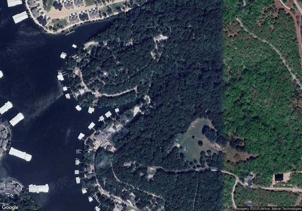
Map
Nearby Homes
- 599 Mayfair Dr
- 76 Barolo Ln
- 76 Barolo Ln Unit 21A
- 62 Barolo #22-A Ln
- 62 Barolo Ln Unit 22A
- 54 Barolo Ln
- Lot 12 Tuscany Dr
- Lot 11 Tuscany Dr
- 1545 Buckingham Dr Unit 4
- 368 Tuscany Dr
- 370 Tuscany Dr
- 1771 Buckingham Dr Unit 1
- Lot 1019 Camelot Dr
- 0 Dover Ct
- 37 Lots
- 127 Viewpoint Dr
- Lot 319 & 320 Surrey Dr
- 100 Trinity Pointe Dr Unit 4-K
- 100 Trinity Pointe Dr
- 100 Trinity Pointe Dr Unit 2-L
- 1002 -1003 Camelot Dr E
- 1004 and 1005 Camelot Dr E
- 0 Lot 88 Camelot Dr Unit 3540585
- 1014 Camelot Dr
- 689 Camelot Dr
- Lot 53&54 Camelot Estates
- 679 Camelot Dr
- Lot 925 Camelot Estates #9
- Lot 933 Camelot Estates #9
- 975 Camelot Estates #9
- Lot 14 Camelot Ct
- 14 Camelot Ct
- 671 Camelot Dr
- 590 Mayfair Dr
- 1020 Camelot Estates
- 1027 Camelot Estates
- 1042 Camelot Estate
- 0 1040-1041 Camelot Estates
- Lot 22 Winston Ct
- 0 Lot 22 Winston Ct Unit 3540862