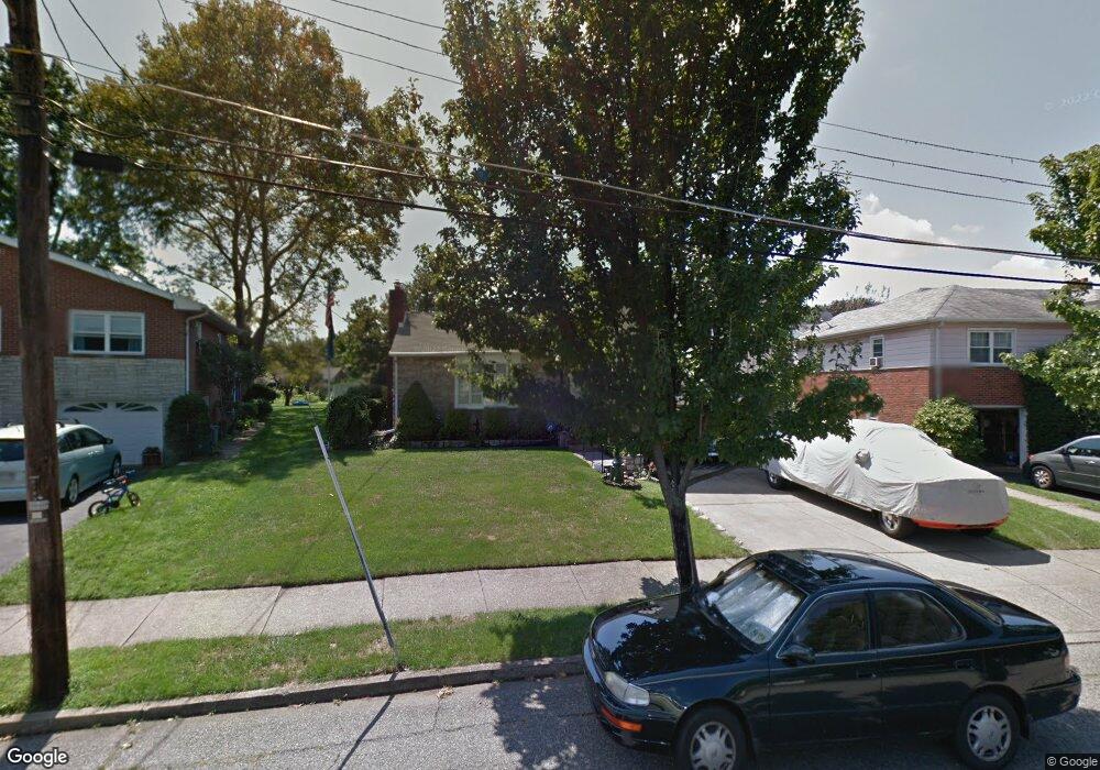
722 Decatur St Bethlehem, PA 18017
Northeast Bethlehem NeighborhoodEstimated Value: $396,266 - $482,000
3
Beds
2
Baths
2,156
Sq Ft
$196/Sq Ft
Est. Value
About This Home
This home is located at 722 Decatur St, Bethlehem, PA 18017 and is currently estimated at $421,817, approximately $195 per square foot. 722 Decatur St is a home located in Northampton County with nearby schools including Spring Garden Elementary School, Northeast Middle School, and Liberty High School.
Ownership History
Date
Name
Owned For
Owner Type
Purchase Details
Closed on
Oct 1, 1992
Bought by
Graessel Richard R and Graessel Ellen M
Current Estimated Value
Purchase Details
Closed on
Sep 1, 1985
Bought by
Not Provided
Create a Home Valuation Report for This Property
The Home Valuation Report is an in-depth analysis detailing your home's value as well as a comparison with similar homes in the area
Home Values in the Area
Average Home Value in this Area
Purchase History
| Date | Buyer | Sale Price | Title Company |
|---|---|---|---|
| Graessel Richard R | -- | -- | |
| Not Provided | $79,000 | -- |
Source: Public Records
Tax History Compared to Growth
Tax History
| Year | Tax Paid | Tax Assessment Tax Assessment Total Assessment is a certain percentage of the fair market value that is determined by local assessors to be the total taxable value of land and additions on the property. | Land | Improvement |
|---|---|---|---|---|
| 2025 | $673 | $62,300 | $23,500 | $38,800 |
| 2024 | $5,507 | $62,300 | $23,500 | $38,800 |
| 2023 | $5,507 | $62,300 | $23,500 | $38,800 |
| 2022 | $5,464 | $62,300 | $23,500 | $38,800 |
| 2021 | $5,427 | $62,300 | $23,500 | $38,800 |
| 2020 | $5,375 | $62,300 | $23,500 | $38,800 |
| 2019 | $5,357 | $62,300 | $23,500 | $38,800 |
| 2018 | $5,227 | $62,300 | $23,500 | $38,800 |
| 2017 | $5,165 | $62,300 | $23,500 | $38,800 |
| 2016 | -- | $62,300 | $23,500 | $38,800 |
| 2015 | -- | $62,300 | $23,500 | $38,800 |
| 2014 | -- | $62,300 | $23,500 | $38,800 |
Source: Public Records
Map
Nearby Homes
- 2328 Linden St
- 2213 Montgomery St
- 2534 Linden St
- 1055 Decatur St
- 315 Carver Dr
- 1867 Major St
- 1221 Parson St
- 1738 Madison Ave
- 2155 Lafayette Ave
- 339 E Washington Ave
- 1852 Lincoln St
- 1525 Lincoln St
- 313 E Washington Ave
- 2029 Michael St
- 2011 Mary St
- 943 Crawford St
- 1620 Linwood St
- 510 Hickory St
- 130 Hamilton Ave
- 445 Barclay Dr
- 728 Decatur St
- 716 Decatur St
- 2280 Linden St Unit BN
- 2280 Linden St
- 2280 Linden St Unit BS
- 710 Decatur St
- 2219 Jennings St
- 2227 Jennings St
- 2211 Jennings St
- 704 Decatur St
- 723 Decatur St
- 709 Jennings Place
- 2243 Jennings St
- 2205 Jennings St
- 2264 Linden St
- 715 Decatur St
- 2310 Linden St
- 719 Jennings Place
- 703 Jennings Place
- 2251 Jennings St