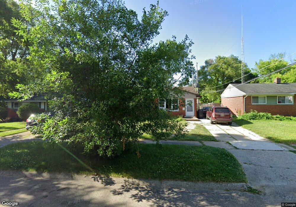
722 Dell Ave Flint, MI 48507
Circle Drive NeighborhoodEstimated Value: $79,944 - $93,000
3
Beds
1
Bath
887
Sq Ft
$94/Sq Ft
Est. Value
About This Home
This home is located at 722 Dell Ave, Flint, MI 48507 and is currently estimated at $83,486, approximately $94 per square foot. 722 Dell Ave is a home located in Genesee County with nearby schools including Freeman Elementary School, Flint Southwestern Classical Academy, and International Academy of Flint (K-12).
Ownership History
Date
Name
Owned For
Owner Type
Purchase Details
Closed on
Jan 13, 2023
Sold by
Shauger Arron
Bought by
Depew Cheryl K and Kagen Tressa N
Current Estimated Value
Home Financials for this Owner
Home Financials are based on the most recent Mortgage that was taken out on this home.
Original Mortgage
$72,649
Outstanding Balance
$70,290
Interest Rate
6.33%
Mortgage Type
FHA
Estimated Equity
$13,196
Purchase Details
Closed on
Jun 1, 2016
Sold by
Herr Kim A and Watson Kim A
Bought by
West Jamie
Purchase Details
Closed on
Nov 5, 2015
Sold by
Watson Randy
Bought by
West Jamie
Purchase Details
Closed on
Feb 12, 2015
Sold by
West Rick
Bought by
West Jamie
Purchase Details
Closed on
Nov 1, 2005
Sold by
West John David
Bought by
West John David and West Rick Lee
Create a Home Valuation Report for This Property
The Home Valuation Report is an in-depth analysis detailing your home's value as well as a comparison with similar homes in the area
Home Values in the Area
Average Home Value in this Area
Purchase History
| Date | Buyer | Sale Price | Title Company |
|---|---|---|---|
| Depew Cheryl K | $75,000 | Bell Title | |
| West Jamie | -- | None Available | |
| West Jamie | -- | Attorney | |
| West Jamie | -- | Attorney | |
| West Jamie | $16,000 | None Available | |
| West John David | -- | None Available |
Source: Public Records
Mortgage History
| Date | Status | Borrower | Loan Amount |
|---|---|---|---|
| Open | Depew Cheryl K | $72,649 | |
| Closed | Depew Cheryl K | $8,224 |
Source: Public Records
Tax History
| Year | Tax Paid | Tax Assessment Tax Assessment Total Assessment is a certain percentage of the fair market value that is determined by local assessors to be the total taxable value of land and additions on the property. | Land | Improvement |
|---|---|---|---|---|
| 2025 | $1,800 | $33,400 | $0 | $0 |
| 2024 | $1,602 | $28,800 | $0 | $0 |
| 2023 | $713 | $24,400 | $0 | $0 |
| 2022 | $0 | $18,800 | $0 | $0 |
| 2021 | $893 | $17,800 | $0 | $0 |
| 2020 | $826 | $17,300 | $0 | $0 |
| 2019 | $811 | $10,800 | $0 | $0 |
| 2018 | $1,981 | $8,500 | $0 | $0 |
| 2017 | $1,571 | $0 | $0 | $0 |
| 2016 | $591 | $0 | $0 | $0 |
| 2015 | -- | $0 | $0 | $0 |
| 2014 | -- | $0 | $0 | $0 |
| 2012 | -- | $15,000 | $0 | $0 |
Source: Public Records
Map
Nearby Homes
- 818 Dell Ave
- 617 McKeighan Ave
- 1030 McKeighan Ave
- 4424 Cheyenne Ave
- 1111 Lochhead Ave
- 530 McKeighan Ave
- 621 Burroughs Ave
- 4126 Circle Dr
- 916 Buckingham Ave
- 630 Buckingham Ave
- 4133 Custer Ave
- 3193 Myrton St
- 4127 Custer Ave
- 3128 Ludwig St
- 3056 Shaw St
- 3505 Comanche Ave
- 338 Browning Ave
- 326 Burroughs Ave
- 352 Buckingham Ave
- 361 Buckingham Ave
Your Personal Tour Guide
Ask me questions while you tour the home.