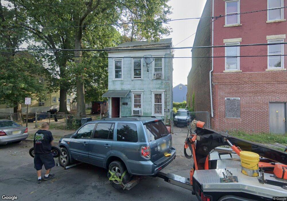
722 Division St Trenton, NJ 08611
Chambersburg NeighborhoodEstimated Value: $130,655 - $231,000
--
Bed
--
Bath
1,292
Sq Ft
$138/Sq Ft
Est. Value
About This Home
This home is located at 722 Division St, Trenton, NJ 08611 and is currently estimated at $177,664, approximately $137 per square foot. 722 Division St is a home located in Mercer County with nearby schools including Washington Elementary School, Dr. Crosby Copeland Elementary School, and Grace A Dunn Middle School.
Ownership History
Date
Name
Owned For
Owner Type
Purchase Details
Closed on
Dec 29, 1999
Sold by
Poland Harriet
Bought by
Briggs Thomas
Current Estimated Value
Home Financials for this Owner
Home Financials are based on the most recent Mortgage that was taken out on this home.
Original Mortgage
$48,450
Outstanding Balance
$15,336
Interest Rate
7.79%
Mortgage Type
VA
Estimated Equity
$162,328
Create a Home Valuation Report for This Property
The Home Valuation Report is an in-depth analysis detailing your home's value as well as a comparison with similar homes in the area
Home Values in the Area
Average Home Value in this Area
Purchase History
| Date | Buyer | Sale Price | Title Company |
|---|---|---|---|
| Briggs Thomas | $47,500 | -- |
Source: Public Records
Mortgage History
| Date | Status | Borrower | Loan Amount |
|---|---|---|---|
| Open | Briggs Thomas | $48,450 |
Source: Public Records
Tax History Compared to Growth
Tax History
| Year | Tax Paid | Tax Assessment Tax Assessment Total Assessment is a certain percentage of the fair market value that is determined by local assessors to be the total taxable value of land and additions on the property. | Land | Improvement |
|---|---|---|---|---|
| 2025 | $2,373 | $40,900 | $9,500 | $31,400 |
| 2024 | $2,277 | $40,900 | $9,500 | $31,400 |
| 2023 | $2,277 | $40,900 | $9,500 | $31,400 |
| 2022 | $2,232 | $40,900 | $9,500 | $31,400 |
| 2021 | $2,271 | $40,900 | $9,500 | $31,400 |
| 2020 | $2,264 | $40,900 | $9,500 | $31,400 |
| 2019 | $2,227 | $40,900 | $9,500 | $31,400 |
| 2018 | $2,132 | $40,900 | $9,500 | $31,400 |
| 2017 | $2,027 | $40,900 | $9,500 | $31,400 |
| 2016 | $4,441 | $77,200 | $18,500 | $58,700 |
| 2015 | $4,426 | $77,200 | $18,500 | $58,700 |
| 2014 | $4,405 | $77,200 | $18,500 | $58,700 |
Source: Public Records
Map
Nearby Homes
- 724 Division St
- 150 Ashmore Ave
- 11 Cummings Ave
- 327 Woodland St
- 978 S Broad St
- 1447 S Clinton Ave
- 1521 S Clinton Ave
- 207 Howell St
- 225 Franklin St
- 211 Elm St
- 508 Dayton St
- 826 S Clinton Ave
- 414 Commonwealth Ave
- 113 Mifflin St
- 127 Kent St
- 1304 S Broad St
- 922 Adeline St
- 1306 S Broad St
- 1308 S Broad St
- 627 Grand St
- 712 Division St
- 214 Rusling St
- 710 Division St
- 708 Division St
- 800 Division St
- 0 Rusling St
- 216 Rusling St
- 203 Rusling St
- 802 Division St
- 211 Hewitt St
- 213 Hewitt St
- 706 Division St
- 804 Division St
- 215 Hewitt St
- 702 Division St
- 700 Division St
- 217 Hewitt St
- 222 Rusling St
- 727 Division St
- 725 Division St