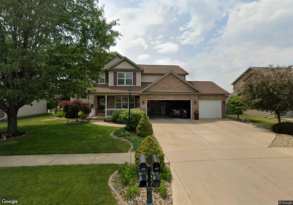
722 Drake Ln Washington, IL 61571
Estimated Value: $383,491 - $446,000
3
Beds
3
Baths
2,484
Sq Ft
$162/Sq Ft
Est. Value
About This Home
This home is located at 722 Drake Ln, Washington, IL 61571 and is currently estimated at $401,373, approximately $161 per square foot. 722 Drake Ln is a home located in Tazewell County with nearby schools including Central Primary School, Central Intermediate School, and Washington Community High School.
Ownership History
Date
Name
Owned For
Owner Type
Purchase Details
Closed on
Dec 4, 2007
Sold by
Mallard Crossing Llc
Bought by
Skulte Raymond A and Skulte Tammy M
Current Estimated Value
Home Financials for this Owner
Home Financials are based on the most recent Mortgage that was taken out on this home.
Original Mortgage
$181,000
Outstanding Balance
$114,566
Interest Rate
6.3%
Mortgage Type
Purchase Money Mortgage
Estimated Equity
$286,808
Create a Home Valuation Report for This Property
The Home Valuation Report is an in-depth analysis detailing your home's value as well as a comparison with similar homes in the area
Home Values in the Area
Average Home Value in this Area
Purchase History
| Date | Buyer | Sale Price | Title Company |
|---|---|---|---|
| Skulte Raymond A | $274,000 | Chicago Title |
Source: Public Records
Mortgage History
| Date | Status | Borrower | Loan Amount |
|---|---|---|---|
| Open | Skulte Raymond A | $181,000 |
Source: Public Records
Tax History Compared to Growth
Tax History
| Year | Tax Paid | Tax Assessment Tax Assessment Total Assessment is a certain percentage of the fair market value that is determined by local assessors to be the total taxable value of land and additions on the property. | Land | Improvement |
|---|---|---|---|---|
| 2024 | $9,183 | $117,590 | $16,280 | $101,310 |
| 2023 | $9,183 | $109,090 | $15,100 | $93,990 |
| 2022 | $8,779 | $101,930 | $14,110 | $87,820 |
| 2021 | $8,442 | $98,720 | $13,760 | $84,960 |
| 2020 | $8,323 | $98,720 | $13,760 | $84,960 |
| 2019 | $8,130 | $98,720 | $13,760 | $84,960 |
| 2018 | $7,933 | $98,720 | $13,760 | $84,960 |
| 2017 | $7,673 | $95,950 | $13,370 | $82,580 |
| 2016 | $7,470 | $95,950 | $13,370 | $82,580 |
| 2015 | $7,346 | $0 | $0 | $0 |
| 2013 | $6,843 | $89,480 | $12,470 | $77,010 |
Source: Public Records
Map
Nearby Homes
- 609 Patricia St
- 0 W Cruger Rd Unit 1190158
- 1512 Mackenzie St
- 1240 Brown Ct
- 1507 Fayette Ave
- 0 Cummings & Cruger Rd Unit PA1222417
- 0 Nofsinger Rd
- 1031 Dallas Rd
- 1878 Linsley St
- 16 Cranford Dr
- 610 Westminster Dr
- 1401 Westgate Rd
- 1405 Santa fe Rd
- 1830 Kern Rd
- 1610 Rustic Oak Dr
- 707 Yorkshire Ct
- 1932 Deer Ln
- 201 Willa Ln
- 208 Stonehenge Ct
- 116 Stonehenge Dr