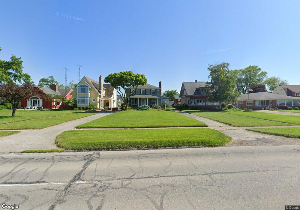
722 E Perry St Port Clinton, OH 43452
Estimated Value: $238,000 - $335,000
3
Beds
2
Baths
1,440
Sq Ft
$204/Sq Ft
Est. Value
About This Home
This home is located at 722 E Perry St, Port Clinton, OH 43452 and is currently estimated at $294,096, approximately $204 per square foot. 722 E Perry St is a home located in Ottawa County with nearby schools including Bataan Memorial Primary School, Bataan Memorial Intermediate School, and Port Clinton Middle School.
Ownership History
Date
Name
Owned For
Owner Type
Purchase Details
Closed on
Oct 20, 2009
Sold by
The Trust For Public Land
Bought by
Koch Randall J
Current Estimated Value
Purchase Details
Closed on
Apr 17, 2009
Sold by
Koch Mary Beth
Bought by
Koch Randall J
Home Financials for this Owner
Home Financials are based on the most recent Mortgage that was taken out on this home.
Original Mortgage
$180,000
Interest Rate
5.05%
Mortgage Type
New Conventional
Purchase Details
Closed on
Jun 2, 2008
Sold by
Koch Randall J and Koch Mary Beth
Bought by
The Trust For Public Land
Create a Home Valuation Report for This Property
The Home Valuation Report is an in-depth analysis detailing your home's value as well as a comparison with similar homes in the area
Home Values in the Area
Average Home Value in this Area
Purchase History
| Date | Buyer | Sale Price | Title Company |
|---|---|---|---|
| Koch Randall J | -- | Hartung Title | |
| Koch Randall J | -- | Attorney | |
| The Trust For Public Land | $1,000 | Hartung Title |
Source: Public Records
Mortgage History
| Date | Status | Borrower | Loan Amount |
|---|---|---|---|
| Previous Owner | Koch Randall J | $180,000 |
Source: Public Records
Tax History
| Year | Tax Paid | Tax Assessment Tax Assessment Total Assessment is a certain percentage of the fair market value that is determined by local assessors to be the total taxable value of land and additions on the property. | Land | Improvement |
|---|---|---|---|---|
| 2024 | $3,779 | $109,047 | $54,408 | $54,639 |
| 2023 | $3,779 | $76,707 | $36,271 | $40,436 |
| 2022 | $2,975 | $76,707 | $36,271 | $40,436 |
| 2021 | $2,972 | $76,710 | $36,270 | $40,440 |
| 2020 | $2,185 | $59,060 | $25,910 | $33,150 |
| 2019 | $2,163 | $59,060 | $25,910 | $33,150 |
| 2018 | $2,159 | $59,060 | $25,910 | $33,150 |
| 2017 | $2,160 | $58,150 | $25,910 | $32,240 |
| 2016 | $2,165 | $58,150 | $25,910 | $32,240 |
| 2015 | $2,173 | $58,150 | $25,910 | $32,240 |
| 2014 | $1,096 | $58,150 | $25,910 | $32,240 |
| 2013 | $2,196 | $58,150 | $25,910 | $32,240 |
Source: Public Records
Map
Nearby Homes
- 801 E 3rd St
- 525 E 2nd St
- 521 E 2nd St
- 232 Beech St
- 35 N Beach St
- 29 N Beach St
- 116 Walnut St
- 122 Washington St
- 423 Fulton St
- 2621 N Peachtree Lane # Sublot 1
- 2453 N Peachtree Lane # Sublot 7
- 2481 N Peachtree Lane # Sublot 6
- 2565 N Peachtree Lane # Sublot 3
- 0 Mouse Island Unit 20252634
- 2369 N Peachtree Lane # Sublot 10
- 2397 N Peachtree Lane # Sublot 9
- 2509 N Peachtree Lane # Sublot 5
- 0 Mouse Island Unit 5139279
- 2425 N Peachtree Lane # Sublot 8
- 164 Driftwood Dr