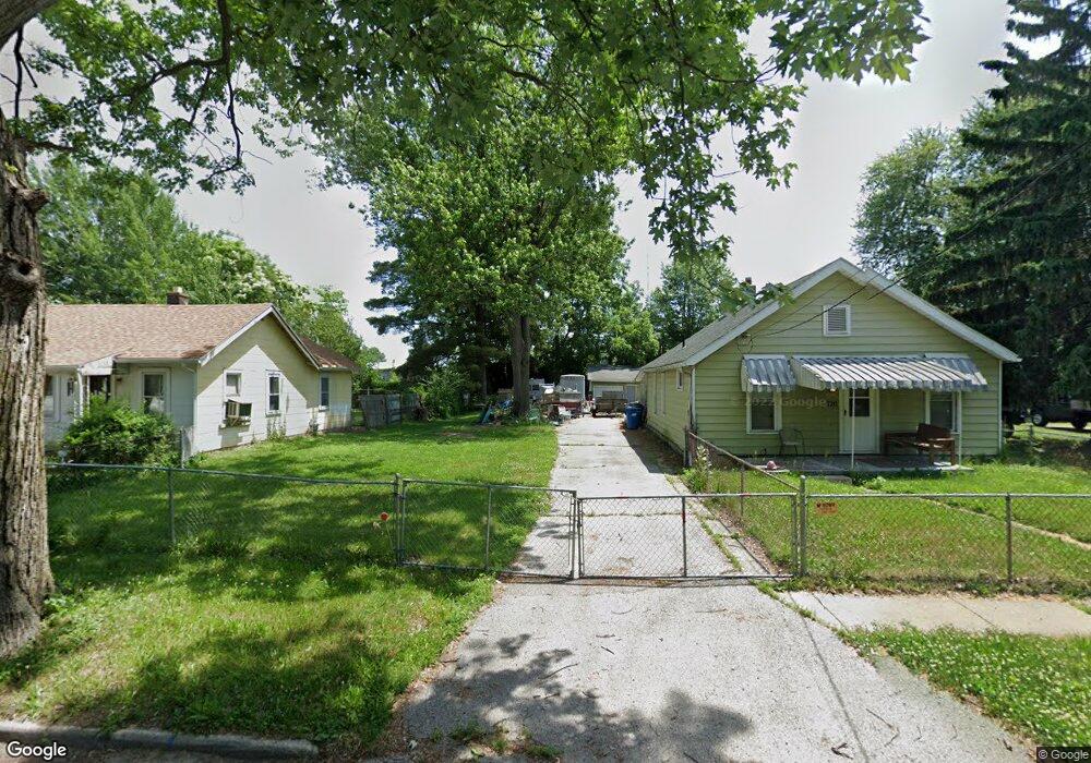
722 Elysian Ave Toledo, OH 43607
Scott Park NeighborhoodEstimated Value: $50,061 - $124,000
2
Beds
1
Bath
960
Sq Ft
$91/Sq Ft
Est. Value
About This Home
This home is located at 722 Elysian Ave, Toledo, OH 43607 and is currently estimated at $87,515, approximately $91 per square foot. 722 Elysian Ave is a home located in Lucas County with nearby schools including Keyser Elementary School, Rogers High School, and Toledo Preparatory and Fitness Academy.
Ownership History
Date
Name
Owned For
Owner Type
Purchase Details
Closed on
Sep 30, 2003
Sold by
Sutter Scott M
Bought by
Williams Walter
Current Estimated Value
Home Financials for this Owner
Home Financials are based on the most recent Mortgage that was taken out on this home.
Original Mortgage
$26,700
Outstanding Balance
$12,220
Interest Rate
6.4%
Mortgage Type
Purchase Money Mortgage
Estimated Equity
$75,295
Purchase Details
Closed on
Mar 30, 1992
Purchase Details
Closed on
Aug 21, 1991
Sold by
Cowell Diane M
Create a Home Valuation Report for This Property
The Home Valuation Report is an in-depth analysis detailing your home's value as well as a comparison with similar homes in the area
Home Values in the Area
Average Home Value in this Area
Purchase History
| Date | Buyer | Sale Price | Title Company |
|---|---|---|---|
| Williams Walter | $29,700 | -- | |
| -- | -- | -- | |
| -- | -- | -- |
Source: Public Records
Mortgage History
| Date | Status | Borrower | Loan Amount |
|---|---|---|---|
| Open | Williams Walter | $26,700 |
Source: Public Records
Tax History
| Year | Tax Paid | Tax Assessment Tax Assessment Total Assessment is a certain percentage of the fair market value that is determined by local assessors to be the total taxable value of land and additions on the property. | Land | Improvement |
|---|---|---|---|---|
| 2025 | -- | $3,780 | $3,780 | -- |
| 2024 | $160 | $3,780 | $3,780 | -- |
| 2023 | $264 | $2,730 | $2,730 | $0 |
| 2022 | $266 | $2,730 | $2,730 | $0 |
| 2021 | $266 | $2,730 | $2,730 | $0 |
| 2020 | $291 | $2,555 | $2,555 | $0 |
| 2019 | $277 | $2,555 | $2,555 | $0 |
| 2018 | $283 | $2,555 | $2,555 | $0 |
| 2017 | $267 | $2,310 | $2,310 | $0 |
| 2016 | $281 | $6,600 | $6,600 | $0 |
| 2015 | $282 | $6,600 | $6,600 | $0 |
| 2014 | $149 | $2,310 | $2,310 | $0 |
| 2013 | $149 | $2,310 | $2,310 | $0 |
Source: Public Records
Map
Nearby Homes
- 638 Broer Ave
- 914 Turner Ave
- 2925 Avondale Ave
- 834 Broer Ave
- 712 Underwood Ave
- 508 Ascot Ave
- 820 MacKow Dr
- 336 Conrad Ave
- 1408 Roosevelt Ave
- 1011 Alldays Ave
- 913 Coventry Ave
- 615 Cuthbert Rd
- 811 N University Ave
- 1125 Secor Rd
- 710 N Byrne Rd
- 823 N Byrne Rd
- 1814 Alvin St
- 1732 Evansdale Ave
- 1901 Alvin St
- 1917 Alvin St
- 720 Elysian Ave
- 728 Elysian Ave
- 714 Elysian Ave
- 734 Elysian Ave
- 710 Elysian Ave
- 738 Elysian Ave
- 723 Elysian Ave
- 731 Elysian Ave
- 715 Elysian Ave
- 733 Elysian Ave
- 713 Elysian Ave
- 702 Elysian Ave
- 737 Elysian Ave
- 806 Elysian Ave
- 709 Elysian Ave
- 741 Elysian Ave
- 801 Elysian Ave
- 701 Elysian Ave
- 812 Elysian Ave
- 643 Elysian Ave
Your Personal Tour Guide
Ask me questions while you tour the home.