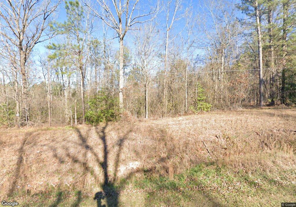
722 Ethridge Rd Haddock, GA 31033
Estimated Value: $397,221 - $551,000
Studio
1
Bath
--
Sq Ft
72.67
Acres
About This Home
This home is located at 722 Ethridge Rd, Haddock, GA 31033 and is currently estimated at $474,111. 722 Ethridge Rd is a home located in Jones County with nearby schools including Gray Elementary School, Gray Station Middle School, and Jones County High School.
Ownership History
Date
Name
Owned For
Owner Type
Purchase Details
Closed on
Nov 5, 2021
Sold by
Lindsey Cheryl Toney
Bought by
Morris Martin and Morris Minnie
Current Estimated Value
Purchase Details
Closed on
Oct 4, 2021
Sold by
Lindsey Donald Pace
Bought by
Lindsey Cheryl Toney
Purchase Details
Closed on
Jan 18, 2007
Sold by
Not Provided
Bought by
Lindsey Donald P
Home Financials for this Owner
Home Financials are based on the most recent Mortgage that was taken out on this home.
Original Mortgage
$318,520
Interest Rate
6.07%
Mortgage Type
New Conventional
Purchase Details
Closed on
Aug 11, 2006
Sold by
Not Provided
Bought by
Lindsey Donald P
Home Financials for this Owner
Home Financials are based on the most recent Mortgage that was taken out on this home.
Original Mortgage
$476,000
Interest Rate
6.67%
Mortgage Type
New Conventional
Purchase Details
Closed on
Feb 21, 2003
Sold by
Cr Properties
Bought by
Charles Eugene Reeves
Create a Home Valuation Report for This Property
The Home Valuation Report is an in-depth analysis detailing your home's value as well as a comparison with similar homes in the area
Purchase History
| Date | Buyer | Sale Price | Title Company |
|---|---|---|---|
| Morris Martin | $335,000 | -- | |
| Lindsey Cheryl Toney | -- | -- | |
| Lindsey Donald P | $375,500 | -- | |
| Lindsey Donald P | -- | -- | |
| Lindsey Donald P | $295,000 | -- | |
| Charles Eugene Reeves | $156,000 | -- |
Source: Public Records
Mortgage History
| Date | Status | Borrower | Loan Amount |
|---|---|---|---|
| Previous Owner | Lindsey Donald P | $318,520 | |
| Previous Owner | Lindsey Donald P | $476,000 |
Source: Public Records
Tax History
| Year | Tax Paid | Tax Assessment Tax Assessment Total Assessment is a certain percentage of the fair market value that is determined by local assessors to be the total taxable value of land and additions on the property. | Land | Improvement |
|---|---|---|---|---|
| 2025 | $969 | $119,431 | $105,622 | $13,809 |
| 2023 | $3,610 | $101,623 | $101,423 | $200 |
| 2022 | $3,469 | $96,552 | $96,352 | $200 |
| 2021 | $642 | $96,552 | $96,352 | $200 |
| 2020 | $625 | $96,552 | $96,352 | $200 |
| 2019 | $607 | $96,552 | $96,352 | $200 |
| 2018 | $590 | $96,552 | $96,352 | $200 |
| 2017 | $425 | $93,404 | $93,204 | $200 |
| 2016 | $413 | $93,404 | $93,204 | $200 |
| 2015 | $380 | $93,404 | $93,204 | $200 |
| 2014 | $339 | $93,404 | $93,204 | $200 |
Source: Public Records
Map
Nearby Homes
- 2231 Fox Creek Dr Unit 6
- 2231 Fox Creek Dr
- 116 N Oak St
- 1370 Ga Highway 22 E
- 1370 Georgia 22
- 386 Nelson Rd NW
- 249 Southern Walk Cir
- 247 Southern Walk Cir
- 315 Nelson Rd NW
- 465 Smith Rd
- 232 North St
- 190 Weaver Rd
- 0 Eatonton Hwy Unit 23385714
- 129 Woodland Dr
- 179 Stone Edge Dr
- 106 Davis St
- 124 Ridgecrest Place
- 128 Piedmont Lake Dr
- 737 Springhill Dr
- 801 Holly Ridge Dr
- 722 Ethridge Rd
- 704 Ethridge Rd
- 678 Ethridge Rd
- 709 Ethridge Rd
- 709 Ethridge Rd Unit 150
- 687 Ethridge Rd
- 667 Ethridge Rd
- 765 Ethridge Rd
- 757 Ethridge Rd
- 164 5th Rd
- 773 Ethridge Rd
- 143 5th Rd
- 799 Ethridge Rd
- 741 Ethridge Rd
- 655 Ethridge Rd
- 156 5th Rd
- 828 Ethridge Rd
- 148 5th Rd Unit 20
- 148 5th Rd
- 136 5th Rd
