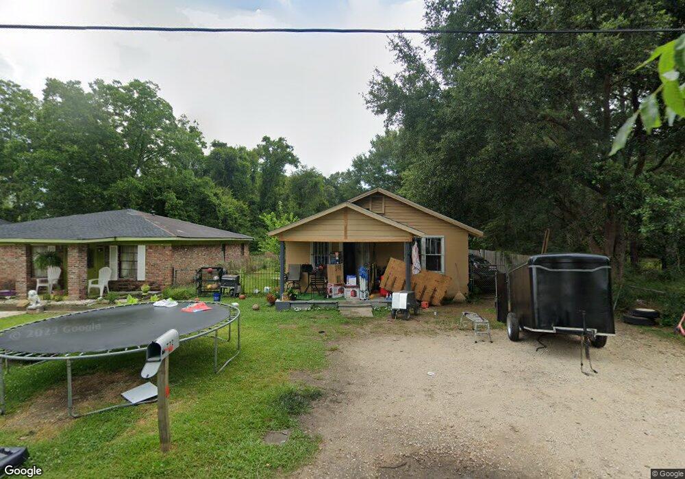
722 Felder Ave Mobile, AL 36612
Whistler NeighborhoodEstimated Value: $43,000 - $73,000
2
Beds
2
Baths
1,650
Sq Ft
$32/Sq Ft
Est. Value
About This Home
This home is located at 722 Felder Ave, Mobile, AL 36612 and is currently estimated at $53,593, approximately $32 per square foot. 722 Felder Ave is a home located in Mobile County with nearby schools including Chastang-Fournier K-8 School, Vigor High School, and Prichard Preparatory School.
Ownership History
Date
Name
Owned For
Owner Type
Purchase Details
Closed on
Jun 28, 2016
Sold by
Mobile County
Bought by
Craig Arnetta
Current Estimated Value
Purchase Details
Closed on
May 4, 1999
Sold by
Associates Financial Svcs Co Alabama Inc
Bought by
Mcnair Thomas Jr Roy and Mcnair Thomas Shaneka
Home Financials for this Owner
Home Financials are based on the most recent Mortgage that was taken out on this home.
Original Mortgage
$32,023
Interest Rate
7%
Mortgage Type
Seller Take Back
Purchase Details
Closed on
Feb 9, 1999
Sold by
Parthenia Overton and Parthenia Minnie
Bought by
Associates Financial Svcs Co Of Al Inc
Create a Home Valuation Report for This Property
The Home Valuation Report is an in-depth analysis detailing your home's value as well as a comparison with similar homes in the area
Home Values in the Area
Average Home Value in this Area
Purchase History
| Date | Buyer | Sale Price | Title Company |
|---|---|---|---|
| Craig Arnetta | $1,656 | None Listed On Document | |
| Mcnair Thomas Jr Roy | -- | -- | |
| Associates Financial Svcs Co Of Al Inc | $20,000 | -- |
Source: Public Records
Mortgage History
| Date | Status | Borrower | Loan Amount |
|---|---|---|---|
| Previous Owner | Mcnair Thomas Jr Roy | $32,023 |
Source: Public Records
Tax History
| Year | Tax Paid | Tax Assessment Tax Assessment Total Assessment is a certain percentage of the fair market value that is determined by local assessors to be the total taxable value of land and additions on the property. | Land | Improvement |
|---|---|---|---|---|
| 2025 | $490 | $7,860 | $1,000 | $6,860 |
| 2024 | $490 | $7,300 | $560 | $6,740 |
| 2023 | $431 | $7,000 | $560 | $6,440 |
| 2022 | $431 | $7,000 | $560 | $6,440 |
| 2021 | $431 | $7,000 | $560 | $6,440 |
| 2020 | $431 | $7,000 | $560 | $6,440 |
| 2019 | $379 | $6,160 | $560 | $5,600 |
| 2018 | $379 | $6,160 | $0 | $0 |
| 2017 | $379 | $6,160 | $0 | $0 |
| 2016 | $396 | $6,440 | $0 | $0 |
| 2013 | $413 | $6,360 | $0 | $0 |
Source: Public Records
Map
Nearby Homes
- 0 Bear Fork Rd Unit 7268786
- 3603 St Stephens Rd
- 638 Elba Ave
- 752 Elba Ave
- 3318 Vestavia St
- 3728 Vinewood Dr
- 1705 Wolf Ridge Rd
- 814 S Wasson Ave
- 3514 Anton St
- 300 S Shelton Beach Rd
- 3531 Anton St
- 1659 Hand Ave
- 2970 Persons St
- 0 Saint Stephens Rd Unit 385400
- 00 U S 45
- 1734 S Atmore Ave
- 0 Dykes Rd Unit 7512439
- 0 Dykes Rd Unit 7512446
- 4304 Dalton Dr
- 1737 Annette Ave
Your Personal Tour Guide
Ask me questions while you tour the home.