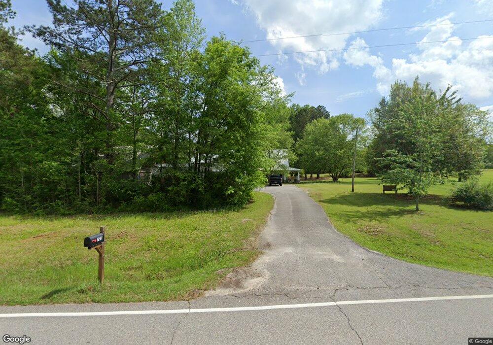
722 Grant Rd Brooks, GA 30205
Estimated Value: $588,000 - $749,000
3
Beds
4
Baths
3,105
Sq Ft
$218/Sq Ft
Est. Value
About This Home
This home is located at 722 Grant Rd, Brooks, GA 30205 and is currently estimated at $678,153, approximately $218 per square foot. 722 Grant Rd is a home located in Fayette County with nearby schools including Peeples Elementary School, Whitewater Middle School, and Whitewater High School.
Ownership History
Date
Name
Owned For
Owner Type
Purchase Details
Closed on
Jul 1, 2020
Sold by
Coleman Ronald
Bought by
Gasaway Morgan and Gasaway Robert
Current Estimated Value
Home Financials for this Owner
Home Financials are based on the most recent Mortgage that was taken out on this home.
Original Mortgage
$374,300
Outstanding Balance
$328,181
Interest Rate
3.1%
Mortgage Type
New Conventional
Estimated Equity
$349,972
Purchase Details
Closed on
Apr 9, 2014
Sold by
Coleman Ronald
Bought by
Coleman Ronald and Coleman Joan K
Create a Home Valuation Report for This Property
The Home Valuation Report is an in-depth analysis detailing your home's value as well as a comparison with similar homes in the area
Home Values in the Area
Average Home Value in this Area
Purchase History
| Date | Buyer | Sale Price | Title Company |
|---|---|---|---|
| Gasaway Morgan | $394,000 | -- | |
| Coleman Ronald | -- | -- |
Source: Public Records
Mortgage History
| Date | Status | Borrower | Loan Amount |
|---|---|---|---|
| Open | Gasaway Morgan | $374,300 |
Source: Public Records
Tax History
| Year | Tax Paid | Tax Assessment Tax Assessment Total Assessment is a certain percentage of the fair market value that is determined by local assessors to be the total taxable value of land and additions on the property. | Land | Improvement |
|---|---|---|---|---|
| 2025 | $4,949 | $246,224 | $61,966 | $184,258 |
| 2024 | $4,949 | $230,116 | $57,912 | $172,204 |
| 2023 | $4,949 | $214,892 | $50,892 | $164,000 |
| 2022 | $4,694 | $201,024 | $45,624 | $155,400 |
| 2021 | $4,290 | $157,600 | $36,880 | $120,720 |
| 2020 | $1,285 | $165,400 | $36,440 | $128,960 |
| 2019 | $1,257 | $159,600 | $36,440 | $123,160 |
| 2018 | $1,143 | $145,632 | $31,472 | $114,160 |
| 2017 | $1,163 | $146,096 | $29,816 | $116,280 |
| 2016 | $1,103 | $132,456 | $29,816 | $102,640 |
| 2015 | $1,047 | $122,536 | $29,816 | $92,720 |
| 2014 | -- | $110,736 | $29,816 | $80,920 |
| 2013 | -- | $104,560 | $0 | $0 |
Source: Public Records
Map
Nearby Homes
- 423 Woods Rd
- 531 Grant Rd
- 456 W Mcintosh Rd
- 395 W Mcintosh Rd
- 19.6 ACRES Grant Rd
- 0 W Mcintosh Rd Unit 10654779
- NEXT TO 443 W Mcintosh Rd
- 0 Malone Rd Unit 10693416
- 0 Malone Rd Unit 7712630
- 911 Highway 85 Connector
- 134 Friendship Church Rd
- 385 Huckaby Rd
- 4101 W Ellis Rd
- 160 Carrington Ln
- 152 Carson Rd
- 0 Huckaby Rd Unit 10361347
- 184 Quail Rd
- 2443 Highway 92 S
- 102 Quail Creek Dr
- 0 Mask Rd Unit 10671477
- 6.84 AC Grant Rd
- 18.918 ac Grant Rd
- 744 Grant Rd
- 752 Grant Rd
- 759 Grant Rd
- 695 Grant Rd
- 122 Rowland Rd
- 0 Grant Rd Unit 1 8444576
- 0 Grant Rd Unit 3230751
- 0 Grant Rd Unit 7319310
- 0 Grant Rd Unit 5330982
- 0 Grant Rd Unit 7528424
- 0 Grant Rd Unit 4 8906837
- 0 Grant Rd Unit 2 8906834
- 0 Grant Rd Unit 18.918 ac 8778586
- 0 Grant Rd Unit 7578542
- 0 Grant Rd Unit 6 8679363
- 0 Grant Rd Unit 4 8679360
- 0 Grant Rd Unit 5 8679357
- 0 Grant Rd Unit 2 8679345
Your Personal Tour Guide
Ask me questions while you tour the home.