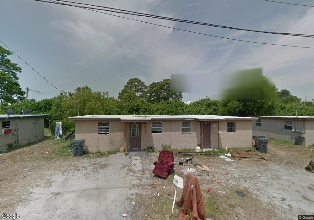
722 Henry St Unit A Auburndale, FL 33823
Estimated Value: $250,000 - $627,000
6
Beds
3
Baths
3,600
Sq Ft
$127/Sq Ft
Est. Value
About This Home
This home is located at 722 Henry St Unit A, Auburndale, FL 33823 and is currently estimated at $458,333, approximately $127 per square foot. 722 Henry St Unit A is a home located in Polk County with nearby schools including Auburndale Central Elementary School, Auburndale Senior High School, and Jewett School of the Arts.
Ownership History
Date
Name
Owned For
Owner Type
Purchase Details
Closed on
May 27, 2016
Sold by
Banks Victoria and Munroe Dale
Bought by
Dlm Legacy Limited Liability Company
Current Estimated Value
Purchase Details
Closed on
Nov 7, 2014
Sold by
Banks Victoria and Munroe David L
Bought by
Estate Of David Munroe Sr
Purchase Details
Closed on
Aug 25, 2010
Sold by
Supreme Investment Corporation
Bought by
Munroe Enterprise Inc
Create a Home Valuation Report for This Property
The Home Valuation Report is an in-depth analysis detailing your home's value as well as a comparison with similar homes in the area
Home Values in the Area
Average Home Value in this Area
Purchase History
| Date | Buyer | Sale Price | Title Company |
|---|---|---|---|
| Dlm Legacy Limited Liability Company | -- | Attorney | |
| Estate Of David Munroe Sr | -- | Attorney | |
| Munroe Enterprise Inc | -- | Attorney |
Source: Public Records
Tax History Compared to Growth
Tax History
| Year | Tax Paid | Tax Assessment Tax Assessment Total Assessment is a certain percentage of the fair market value that is determined by local assessors to be the total taxable value of land and additions on the property. | Land | Improvement |
|---|---|---|---|---|
| 2025 | $6,859 | $99,821 | -- | -- |
| 2024 | $3,760 | $90,746 | -- | -- |
| 2023 | $3,760 | $82,496 | $0 | $0 |
| 2022 | $3,502 | $74,996 | $0 | $0 |
| 2021 | $4,310 | $68,178 | $0 | $0 |
| 2020 | $2,999 | $61,980 | $12,750 | $49,230 |
| 2018 | $2,846 | $63,321 | $12,750 | $50,571 |
| 2017 | $2,844 | $63,603 | $0 | $0 |
| 2016 | $2,690 | $61,506 | $0 | $0 |
| 2015 | $882 | $58,197 | $0 | $0 |
| 2014 | $2,435 | $57,321 | $0 | $0 |
Source: Public Records
Map
Nearby Homes
- 612 Ash St
- 620 Oak St
- 512 Bennett St
- 0 Havendale Blvd NW
- 0 Leta St
- 713 Rose St
- 713 Rose St Unit 33
- 713 Rose St Unit Lot 30
- 713 Rose St Unit 69
- 318 Bennett St
- 316 Bennett St
- 2007 40th St NW
- 518 Orange St
- 0 E Bridgers Ave
- 5637 Recker Hwy
- 2122 Lake Blvd
- 3931 Avenue R NW
- 320 Ariana Ave
- 207 Rose St
- 3409 Sherry Ave