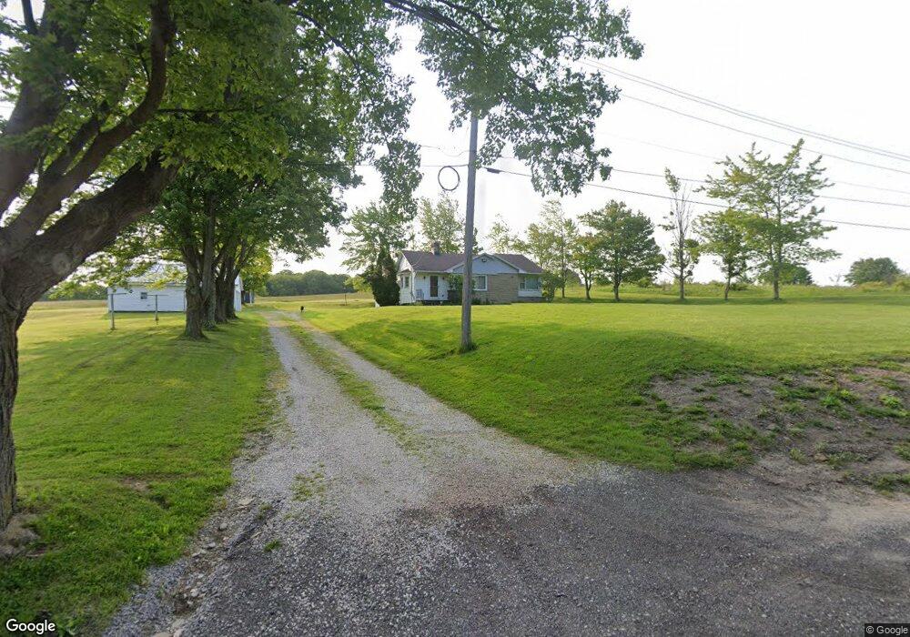
722 Keefus Rd Conneaut, OH 44030
Estimated Value: $165,000 - $188,000
3
Beds
1
Bath
1,187
Sq Ft
$150/Sq Ft
Est. Value
About This Home
This home is located at 722 Keefus Rd, Conneaut, OH 44030 and is currently estimated at $178,094, approximately $150 per square foot. 722 Keefus Rd is a home located in Ashtabula County with nearby schools including Lakeshore Primary Elementary School, Gateway Elementary School, and Conneaut Middle School.
Ownership History
Date
Name
Owned For
Owner Type
Purchase Details
Closed on
May 4, 2010
Sold by
Sedmak Joseph R and Sedmak Shari L
Bought by
Palo Roger A and Palo Traci L
Current Estimated Value
Home Financials for this Owner
Home Financials are based on the most recent Mortgage that was taken out on this home.
Original Mortgage
$95,000
Outstanding Balance
$63,955
Interest Rate
5.14%
Mortgage Type
Seller Take Back
Estimated Equity
$114,139
Purchase Details
Closed on
Feb 5, 2008
Sold by
Sedmak Joseph R
Bought by
Sedmak Joseph R and Sedmak Shari L
Create a Home Valuation Report for This Property
The Home Valuation Report is an in-depth analysis detailing your home's value as well as a comparison with similar homes in the area
Home Values in the Area
Average Home Value in this Area
Purchase History
| Date | Buyer | Sale Price | Title Company |
|---|---|---|---|
| Palo Roger A | $95,000 | Attorney | |
| Sedmak Joseph R | -- | Attorney | |
| Sedmak Joseph R | $70,000 | Attorney |
Source: Public Records
Mortgage History
| Date | Status | Borrower | Loan Amount |
|---|---|---|---|
| Open | Palo Roger A | $95,000 |
Source: Public Records
Tax History
| Year | Tax Paid | Tax Assessment Tax Assessment Total Assessment is a certain percentage of the fair market value that is determined by local assessors to be the total taxable value of land and additions on the property. | Land | Improvement |
|---|---|---|---|---|
| 2024 | $2,597 | $46,590 | $18,310 | $28,280 |
| 2023 | $1,680 | $46,590 | $18,310 | $28,280 |
| 2022 | $1,465 | $36,680 | $14,070 | $22,610 |
| 2021 | $1,490 | $36,680 | $14,070 | $22,610 |
| 2020 | $1,489 | $36,680 | $14,070 | $22,610 |
| 2019 | $1,749 | $40,640 | $13,690 | $26,950 |
| 2018 | $1,669 | $40,640 | $13,690 | $26,950 |
| 2017 | $1,601 | $40,640 | $13,690 | $26,950 |
| 2016 | $1,520 | $39,520 | $13,270 | $26,250 |
| 2015 | $1,536 | $39,520 | $13,270 | $26,250 |
| 2014 | $1,359 | $39,520 | $13,270 | $26,250 |
| 2013 | $1,191 | $37,630 | $13,480 | $24,150 |
Source: Public Records
Map
Nearby Homes
- 436 Keefus Rd
- 220 Daniels Ave
- 5581 Hatches Corners Rd
- VL Center Rd
- 255 N Amboy Rd
- 210 W Main Rd
- 202 W Main Rd Unit 132
- 0 Weaver Rd Unit 11673543
- 7032 Reed Rd
- 7002 Reed Rd
- 3881 E Center St
- 18 Hillcrest Ct
- 7296 Poore Rd
- 1381 Robb Rd
- 5958 Weaver Rd
- 238 Whitney St
- 0 Creek Rd Unit 5172426
- 745 Maple Ave
- 6231 Weaver Rd
- 0 Dorman Rd
Your Personal Tour Guide
Ask me questions while you tour the home.