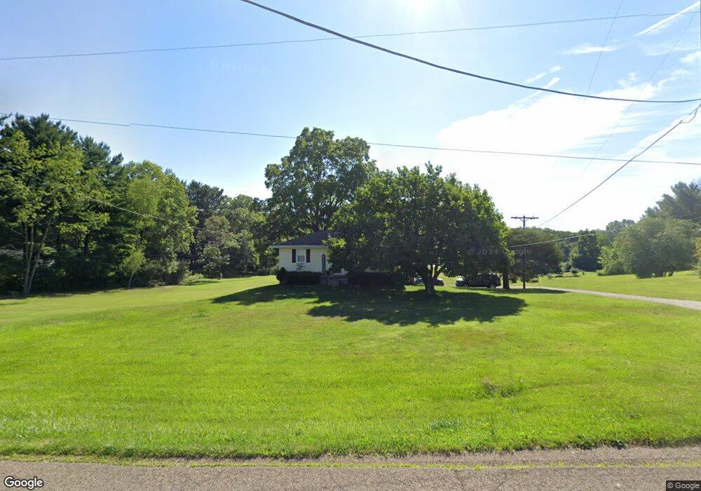
722 Laver Rd Mansfield, OH 44905
Estimated Value: $143,000 - $174,000
2
Beds
1
Bath
1,015
Sq Ft
$156/Sq Ft
Est. Value
About This Home
This home is located at 722 Laver Rd, Mansfield, OH 44905 and is currently estimated at $158,194, approximately $155 per square foot. 722 Laver Rd is a home located in Richland County with nearby schools including Madison High School, St. Mary Catholic School, and Temple-Christian School.
Ownership History
Date
Name
Owned For
Owner Type
Purchase Details
Closed on
May 13, 2024
Sold by
Rissler Brian K and Rissler Sandra E
Bought by
R1809 Investments Ltd
Current Estimated Value
Purchase Details
Closed on
Dec 6, 1995
Sold by
Est Anna C Keiser
Bought by
Davis Mark A
Home Financials for this Owner
Home Financials are based on the most recent Mortgage that was taken out on this home.
Original Mortgage
$110,000
Interest Rate
7.52%
Mortgage Type
New Conventional
Create a Home Valuation Report for This Property
The Home Valuation Report is an in-depth analysis detailing your home's value as well as a comparison with similar homes in the area
Home Values in the Area
Average Home Value in this Area
Purchase History
| Date | Buyer | Sale Price | Title Company |
|---|---|---|---|
| R1809 Investments Ltd | -- | None Listed On Document | |
| R1809 Investments Ltd | -- | None Listed On Document | |
| Davis Mark A | $157,500 | -- |
Source: Public Records
Mortgage History
| Date | Status | Borrower | Loan Amount |
|---|---|---|---|
| Previous Owner | Davis Mark A | $110,000 |
Source: Public Records
Tax History Compared to Growth
Tax History
| Year | Tax Paid | Tax Assessment Tax Assessment Total Assessment is a certain percentage of the fair market value that is determined by local assessors to be the total taxable value of land and additions on the property. | Land | Improvement |
|---|---|---|---|---|
| 2024 | $1,810 | $35,100 | $8,280 | $26,820 |
| 2023 | $1,810 | $35,100 | $8,280 | $26,820 |
| 2022 | $1,378 | $24,520 | $6,640 | $17,880 |
| 2021 | $1,378 | $24,520 | $6,640 | $17,880 |
| 2020 | $1,388 | $24,520 | $6,640 | $17,880 |
| 2019 | $1,251 | $20,610 | $5,580 | $15,030 |
| 2018 | $1,241 | $20,610 | $5,580 | $15,030 |
| 2017 | $1,107 | $20,610 | $5,580 | $15,030 |
| 2016 | $995 | $16,440 | $5,300 | $11,140 |
| 2015 | $995 | $16,440 | $5,300 | $11,140 |
| 2014 | $975 | $16,440 | $5,300 | $11,140 |
| 2012 | $471 | $17,310 | $5,580 | $11,730 |
Source: Public Records
Map
Nearby Homes
- 641 Laver Rd
- 640 Running Brook Way
- 1910 Crider Rd
- 1495 Timber Rd
- 903 Mayflower Ave
- 304 Esley Ln
- 630 Impala Dr
- 598 Impala Dr
- 2270 Lakecrest Dr Unit 2272
- 0 Satinwood Dr
- 76 Ford Rd N
- 76 Ford Rd N Unit 20
- 0 McBride Road Parcel # 1 Unit 9066028
- 419 N Mcelroy Rd
- 0 Mcelroy Rd
- 632 Coachman Rd
- 671 Coachman Rd
- 683 Coachman Rd
- 602 Champion Rd
- 609 Mcbride Rd