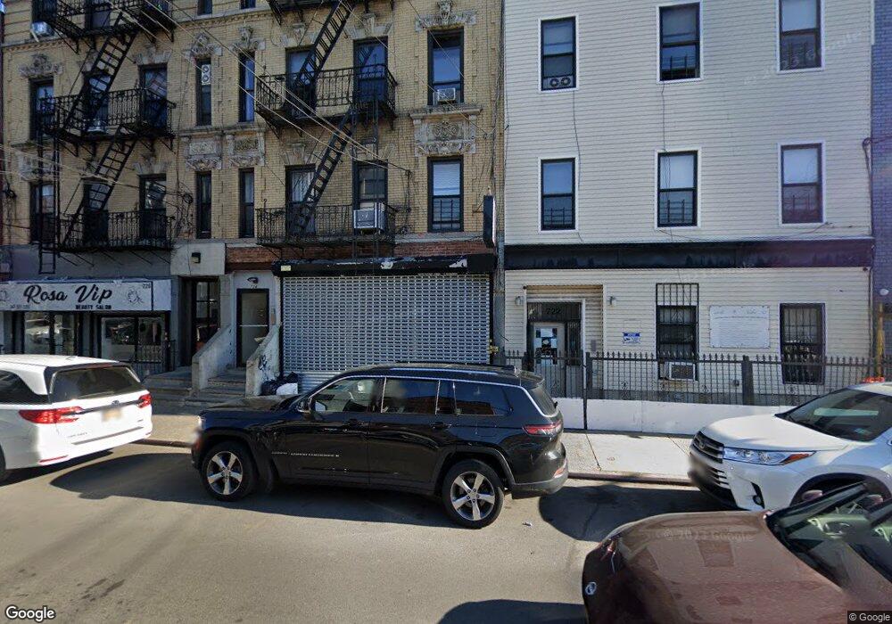
722 Liberty Ave Brooklyn, NY 11208
East New York NeighborhoodEstimated Value: $960,348 - $1,343,000
4
Beds
2
Baths
3,225
Sq Ft
$351/Sq Ft
Est. Value
About This Home
This home is located at 722 Liberty Ave, Brooklyn, NY 11208 and is currently estimated at $1,133,087, approximately $351 per square foot. 722 Liberty Ave is a home located in Kings County with nearby schools including P.S. 345 Patrolman Robert Bolden, Liberty Avenue Middle School, and Vista Academy.
Ownership History
Date
Name
Owned For
Owner Type
Purchase Details
Closed on
Jul 18, 2006
Sold by
Cypress Homes Housing Development Fund C
Bought by
Chukwuemeka Egwu Robinson
Current Estimated Value
Home Financials for this Owner
Home Financials are based on the most recent Mortgage that was taken out on this home.
Original Mortgage
$323,000
Outstanding Balance
$190,259
Interest Rate
6.7%
Mortgage Type
Purchase Money Mortgage
Estimated Equity
$942,828
Purchase Details
Closed on
May 16, 2001
Sold by
Aiello Ronald Referee and Hollis Community Service
Bought by
Hud
Purchase Details
Closed on
Jun 29, 1999
Sold by
Fishman Andrew
Bought by
Hollis Community Service Center Corp
Home Financials for this Owner
Home Financials are based on the most recent Mortgage that was taken out on this home.
Original Mortgage
$205,500
Interest Rate
7.76%
Mortgage Type
FHA
Purchase Details
Closed on
Feb 23, 1999
Sold by
Southdown Llc
Bought by
Fishman Andrew
Home Financials for this Owner
Home Financials are based on the most recent Mortgage that was taken out on this home.
Original Mortgage
$148,000
Interest Rate
7.6%
Mortgage Type
Balloon
Purchase Details
Closed on
Jul 30, 1998
Sold by
Bracero Octavia
Bought by
Southdown Llc
Home Financials for this Owner
Home Financials are based on the most recent Mortgage that was taken out on this home.
Original Mortgage
$105,000
Interest Rate
16%
Mortgage Type
Purchase Money Mortgage
Create a Home Valuation Report for This Property
The Home Valuation Report is an in-depth analysis detailing your home's value as well as a comparison with similar homes in the area
Home Values in the Area
Average Home Value in this Area
Purchase History
| Date | Buyer | Sale Price | Title Company |
|---|---|---|---|
| Chukwuemeka Egwu Robinson | $617,772 | -- | |
| Chukwuemeka Egwu Robinson | $617,772 | -- | |
| Hud | -- | -- | |
| Hud | -- | -- | |
| Hollis Community Service Center Corp | $180,000 | -- | |
| Hollis Community Service Center Corp | $180,000 | -- | |
| Fishman Andrew | $185,000 | Old Republic Natl Title Ins | |
| Fishman Andrew | $185,000 | Old Republic Natl Title Ins | |
| Southdown Llc | $80,000 | Old Republic Natl Title Ins | |
| Southdown Llc | $80,000 | Old Republic Natl Title Ins |
Source: Public Records
Mortgage History
| Date | Status | Borrower | Loan Amount |
|---|---|---|---|
| Open | Chukwuemeka Egwu Robinson | $323,000 | |
| Closed | Chukwuemeka Egwu Robinson | $323,000 | |
| Previous Owner | Hollis Community Service Center Corp | $205,500 | |
| Previous Owner | Fishman Andrew | $148,000 | |
| Previous Owner | Southdown Llc | $105,000 | |
| Closed | Chukwuemeka Egwu Robinson | $277,771 |
Source: Public Records
Tax History Compared to Growth
Tax History
| Year | Tax Paid | Tax Assessment Tax Assessment Total Assessment is a certain percentage of the fair market value that is determined by local assessors to be the total taxable value of land and additions on the property. | Land | Improvement |
|---|---|---|---|---|
| 2025 | $7,084 | $64,260 | $12,900 | $51,360 |
| 2024 | $7,084 | $67,800 | $12,900 | $54,900 |
| 2023 | $7,018 | $68,040 | $12,900 | $55,140 |
| 2022 | $6,733 | $58,800 | $12,900 | $45,900 |
| 2021 | $6,696 | $64,500 | $12,900 | $51,600 |
| 2020 | $3,140 | $57,360 | $12,900 | $44,460 |
| 2019 | $6,148 | $57,360 | $12,900 | $44,460 |
| 2018 | $5,870 | $28,795 | $9,380 | $19,415 |
| 2017 | $5,729 | $28,105 | $7,930 | $20,175 |
| 2016 | $5,301 | $26,515 | $9,597 | $16,918 |
| 2015 | $3,198 | $25,015 | $10,188 | $14,827 |
| 2014 | $3,198 | $24,493 | $8,483 | $16,010 |
Source: Public Records
Map
Nearby Homes
- 399 Linwood St
- 400 Linwood St
- 341 Essex St
- 758 Glenmore Ave
- 349 Elton St
- 283 Shepherd Ave
- 295 Ashford St
- 253 Ashford St
- 278 Ashford St
- 206 Elton St
- 389 Warwick St
- 170 Atkins Ave
- 851 Glenmore Ave
- 203 Essex St
- 852 Glenmore Ave
- 633 Glenmore Ave
- 374 Ashford St
- 387 Ashford St
- 196 Shepherd Ave
- 208 Atkins Ave
- 722 Liberty Ave Unit 2
- 720 Liberty Ave Unit 14
- 720 Liberty Ave
- 726 Liberty Ave
- 393 Linwood St
- 728 Liberty Ave
- 395 Linwood St
- 397 Linwood St
- 742 Liberty Ave
- 322 Essex St
- 328 Essex St
- 392 Linwood St
- 731 Liberty Ave Unit 1
- 731 Liberty Ave
- 725 Liberty Ave
- 401 Linwood Ave St
- 394 Linwood St
- 330 Essex St
- 700 Liberty Ave
- 401 Linwood St Unit 1