722 Long Branch Rd Menlo, GA 30731
Rising Fawn NeighborhoodEstimated Value: $271,935 - $667,000
--
Bed
2
Baths
1,600
Sq Ft
$290/Sq Ft
Est. Value
About This Home
This home is located at 722 Long Branch Rd, Menlo, GA 30731 and is currently estimated at $463,645, approximately $289 per square foot. 722 Long Branch Rd is a home located in Dade County with nearby schools including Dade Middle School and Dade County High School.
Ownership History
Date
Name
Owned For
Owner Type
Purchase Details
Closed on
Aug 16, 2007
Sold by
Crimmins Christopher P
Bought by
Moore Farm I Llc
Current Estimated Value
Purchase Details
Closed on
Oct 27, 2003
Sold by
Endres Joseph and Endres Sh
Bought by
Endres Joseph C
Purchase Details
Closed on
Feb 22, 1994
Sold by
Springer Jim
Bought by
Endres Joseph and Endres Sh
Purchase Details
Closed on
Mar 16, 1989
Purchase Details
Closed on
May 8, 1986
Sold by
Springer Jim and Springer Cathy
Create a Home Valuation Report for This Property
The Home Valuation Report is an in-depth analysis detailing your home's value as well as a comparison with similar homes in the area
Home Values in the Area
Average Home Value in this Area
Purchase History
| Date | Buyer | Sale Price | Title Company |
|---|---|---|---|
| Moore Farm I Llc | -- | -- | |
| Crimmins Christopher P | -- | -- | |
| Endres Joseph C | -- | -- | |
| Endres Joseph | $9,000 | -- | |
| -- | $10,500 | -- | |
| -- | -- | -- |
Source: Public Records
Tax History Compared to Growth
Tax History
| Year | Tax Paid | Tax Assessment Tax Assessment Total Assessment is a certain percentage of the fair market value that is determined by local assessors to be the total taxable value of land and additions on the property. | Land | Improvement |
|---|---|---|---|---|
| 2024 | $1,222 | $85,000 | $40,880 | $44,120 |
| 2023 | $1,761 | $78,680 | $37,760 | $40,920 |
| 2022 | $1,041 | $73,960 | $37,760 | $36,200 |
| 2021 | $887 | $66,920 | $37,760 | $29,160 |
| 2020 | $888 | $68,240 | $40,600 | $27,640 |
| 2019 | $301 | $62,440 | $40,600 | $21,840 |
| 2018 | $1,498 | $62,440 | $40,600 | $21,840 |
| 2017 | $297 | $62,440 | $40,600 | $21,840 |
| 2016 | $284 | $57,160 | $35,320 | $21,840 |
| 2015 | $220 | $41,640 | $19,800 | $21,840 |
| 2014 | -- | $41,400 | $19,800 | $21,600 |
| 2013 | -- | $42,440 | $19,800 | $22,640 |
Source: Public Records
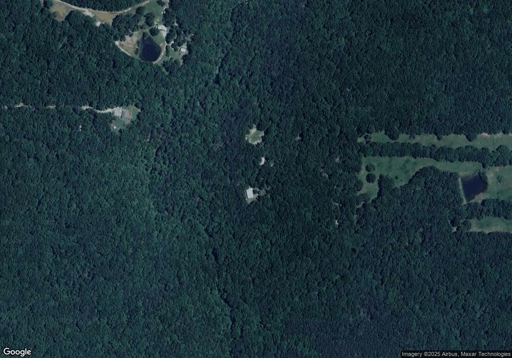
Map
Nearby Homes
- 7896 Old State Rd
- 5400 Old State Rd
- 5450 Old State Rd
- 5370 Old State Rd
- 5998 Old State Rd
- 40.21 Acres County Road 239
- County Road 512
- 0 County Road 759 Unit 23210034
- 27 Acres Georgia 157
- 157 Georgia 157
- 27 Georgia 157
- 33452 Georgia 157
- 00 Highway 11
- 2321 Old State Rd
- 0 Tatum Gulf Rd Unit RTC2932101
- 0 Tatum Gulf Rd Unit 1518206
- 0 Tatum Gulf Rd Unit 1518402
- 0 Tatum Gulf Rd Unit 1516323
- 0 Tatum Gulf Rd Unit 10581213
- 623 County Road 798
- 7709 Old State Rd
- 7709 Old State Rd Unit C
- 7709 Old State Rd Unit B
- 7711 Old State Rd
- 7915 Old State Rd
- 7896 Old State Rd
- 580 Long Branch Rd
- 7707 Old State Rd
- 7931 Old State Rd
- 0 Alsobrook Rd
- 0 Alsobrook Rd Unit RTC2994576
- 0 Alsobrook Rd Unit RTC2726498
- 0 Alsobrook Rd Unit RTC2725186
- 0 Alsobrook Rd Unit RTC2724107
- 0 Alsobrook Rd Unit 1370966
- 0 Alsobrook Rd Unit 1334841
- 0 Alsobrook Rd Unit 1273691
- 0 Alsobrook Rd Unit 1100699
- 0 Alsobrook Rd Unit 1057862
- 0 Alsobrook Rd Unit 1051529