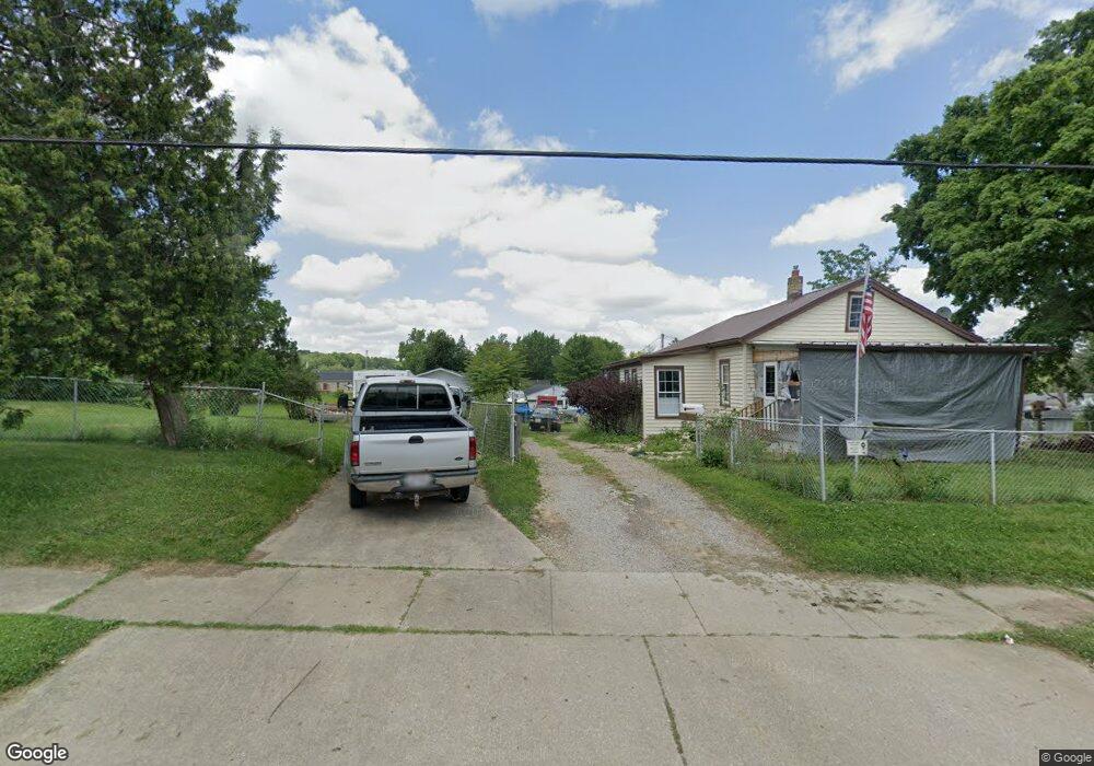
722 Mcpherson St Mansfield, OH 44903
Estimated Value: $80,000 - $107,000
2
Beds
1
Bath
1,114
Sq Ft
$84/Sq Ft
Est. Value
About This Home
This home is located at 722 Mcpherson St, Mansfield, OH 44903 and is currently estimated at $93,641, approximately $84 per square foot. 722 Mcpherson St is a home located in Richland County with nearby schools including Foundation Academy, Mansfield Elective Academy, and Goal Digital Academy.
Ownership History
Date
Name
Owned For
Owner Type
Purchase Details
Closed on
Jun 9, 2000
Sold by
Gibson Martha
Bought by
Thomas Jerry and Thomas Kathleen
Current Estimated Value
Home Financials for this Owner
Home Financials are based on the most recent Mortgage that was taken out on this home.
Original Mortgage
$39,600
Outstanding Balance
$16,009
Interest Rate
10.3%
Mortgage Type
New Conventional
Estimated Equity
$77,632
Purchase Details
Closed on
Feb 11, 2000
Sold by
Mortgage Funding Corp
Bought by
Gibson Martha
Purchase Details
Closed on
Dec 10, 1993
Sold by
Gibson Martha
Bought by
Mortgage Funding Corporation
Purchase Details
Closed on
May 14, 1992
Sold by
Gibson Kenneth L
Bought by
Gibson Martha
Create a Home Valuation Report for This Property
The Home Valuation Report is an in-depth analysis detailing your home's value as well as a comparison with similar homes in the area
Home Values in the Area
Average Home Value in this Area
Purchase History
| Date | Buyer | Sale Price | Title Company |
|---|---|---|---|
| Thomas Jerry | $44,122 | -- | |
| Gibson Martha | $15,000 | -- | |
| Mortgage Funding Corporation | $39,600 | -- | |
| Gibson Martha | -- | -- |
Source: Public Records
Mortgage History
| Date | Status | Borrower | Loan Amount |
|---|---|---|---|
| Open | Thomas Jerry | $39,600 |
Source: Public Records
Tax History Compared to Growth
Tax History
| Year | Tax Paid | Tax Assessment Tax Assessment Total Assessment is a certain percentage of the fair market value that is determined by local assessors to be the total taxable value of land and additions on the property. | Land | Improvement |
|---|---|---|---|---|
| 2024 | $605 | $22,040 | $5,170 | $16,870 |
| 2023 | $576 | $22,040 | $5,170 | $16,870 |
| 2022 | $554 | $18,580 | $4,700 | $13,880 |
| 2021 | $558 | $18,580 | $4,700 | $13,880 |
| 2020 | $570 | $18,580 | $4,700 | $13,880 |
| 2019 | $632 | $18,580 | $4,700 | $13,880 |
| 2018 | $624 | $18,580 | $4,700 | $13,880 |
| 2017 | $607 | $18,580 | $4,700 | $13,880 |
| 2016 | $804 | $21,200 | $6,010 | $15,190 |
| 2015 | $768 | $21,200 | $6,010 | $15,190 |
| 2014 | $758 | $21,200 | $6,010 | $15,190 |
| 2012 | $632 | $22,310 | $6,330 | $15,980 |
Source: Public Records
Map
Nearby Homes
- 0 State Route 314 Unit 9069650
- 0 State Route 314 Unit 9067316
- 0 State Route 314 Unit 225021979
- 269 Parkway Dr
- 512 Burns St
- 641 Averill Ave
- 480 Mcpherson St
- 237 Helen Ave
- 450 Tracy St
- 0 Highway 30
- 426 Mcpherson St
- 170 Western Ave
- 185 Rowland Ave
- 741 Burger Ave
- 212 Penn Ave
- 0 Voegele Ave Unit Lot 6048, 6049, 6
- 340 Boston Ave
- 96 Helen Ave
- 362-364 W 6th St
- 0 W Fourth St - Trimble Lenox
- 708 Mcpherson St
- 734 Mcpherson St
- 719 Mcpherson St
- 704 Mcpherson St
- 715 Mcpherson St
- 735 Mcpherson St
- 696 Mcpherson St
- 742 Mcpherson St
- 711 Mcpherson St
- 739 Mcpherson St
- 467 Collins Dr
- 743 Mcpherson St
- 692 Mcpherson St
- 699 Mcpherson St
- 473 Collins Dr
- 481 Collins Dr
- 754 Mcpherson St
- 707 Mcpherson St
- 707 Mcpherson St
- 693 Mcpherson St