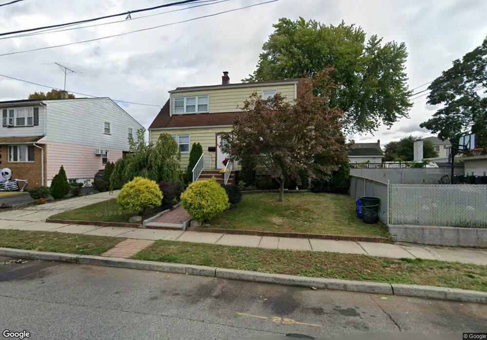
722 Meyer Ave Lyndhurst, NJ 07071
Estimated Value: $609,480 - $727,000
Studio
--
Bath
1,382
Sq Ft
$490/Sq Ft
Est. Value
About This Home
This home is located at 722 Meyer Ave, Lyndhurst, NJ 07071 and is currently estimated at $676,870, approximately $489 per square foot. 722 Meyer Ave is a home located in Bergen County with nearby schools including Lyndhurst High School and Sacred Heart School.
Ownership History
Date
Name
Owned For
Owner Type
Purchase Details
Closed on
Apr 23, 2013
Sold by
Desantis Pietro and Desantis Amalia
Bought by
Paz Stephanie
Current Estimated Value
Home Financials for this Owner
Home Financials are based on the most recent Mortgage that was taken out on this home.
Original Mortgage
$248,000
Outstanding Balance
$176,081
Interest Rate
3.6%
Mortgage Type
New Conventional
Estimated Equity
$500,789
Create a Home Valuation Report for This Property
The Home Valuation Report is an in-depth analysis detailing your home's value as well as a comparison with similar homes in the area
Home Values in the Area
Average Home Value in this Area
Purchase History
| Date | Buyer | Sale Price | Title Company |
|---|---|---|---|
| Paz Stephanie | $310,000 | -- |
Source: Public Records
Mortgage History
| Date | Status | Borrower | Loan Amount |
|---|---|---|---|
| Open | Paz Stephanie | $248,000 |
Source: Public Records
Tax History
| Year | Tax Paid | Tax Assessment Tax Assessment Total Assessment is a certain percentage of the fair market value that is determined by local assessors to be the total taxable value of land and additions on the property. | Land | Improvement |
|---|---|---|---|---|
| 2025 | $9,679 | $467,500 | $250,600 | $216,900 |
| 2024 | $9,260 | $464,000 | $248,200 | $215,800 |
| 2023 | $8,815 | $455,700 | $241,100 | $214,600 |
| 2022 | $8,815 | $277,900 | $165,000 | $112,900 |
| 2021 | $8,448 | $277,900 | $165,000 | $112,900 |
| 2020 | $8,265 | $277,900 | $165,000 | $112,900 |
| 2019 | $8,204 | $277,900 | $165,000 | $112,900 |
| 2018 | $8,270 | $277,900 | $165,000 | $112,900 |
| 2017 | $8,062 | $277,900 | $165,000 | $112,900 |
| 2016 | $7,881 | $277,900 | $165,000 | $112,900 |
| 2015 | $7,634 | $277,900 | $165,000 | $112,900 |
| 2014 | $7,534 | $277,900 | $165,000 | $112,900 |
Source: Public Records
Map
Nearby Homes
- 715 Stuyvesant Ave
- 715 Tyler St
- 825 Riverside Ave Unit 207
- 230 New St
- 521 Weart Ave
- 609 Chase Ave
- 416 Kingsland Ave
- 510 Anthony Ct
- 14 River Rd Unit F
- 117 Lincoln Ave
- 471 Harding Ave
- 103 River Rd Unit A1
- 25 River Rd Unit A-18
- 25 River Rd Unit B11
- 25 River Rd Unit 18-B
- 105 Jauncey Ave
- 105 River Rd Unit C1
- 433 Chase Ave
- 824 Main St Unit j
- 824 Main St
- 714 Meyer Ave
- 233 Thomas Ave
- 229 Thomas Ave
- 712 Meyer Ave Unit 2
- 712 Meyer Ave
- 237 Thomas Ave
- 725 Stuyvesant Ave
- 725 Stuyvesant Ave Unit 2
- 711 Stuyvesant Ave Unit 713
- 719 Meyer Ave
- 719 Meyer Ave Unit 2
- 725 Meyer Ave
- 725 Meyer Ave Unit 2
- 731 Stuyvesant Ave Unit 2
- 731 Stuyvesant Ave
- 244 Sanford Ave
- 240 Sanford Ave
- 709A Stuyvesant Ave
- 709A Stuyvesant Ave Unit 2
- 711 Meyer Ave
Your Personal Tour Guide
Ask me questions while you tour the home.