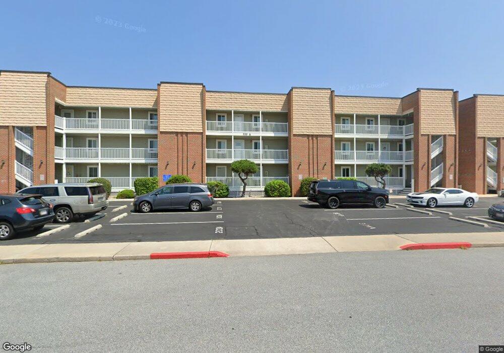
722 Mooring Rd Ocean City, MD 21842
Estimated Value: $350,000 - $423,000
--
Bed
2
Baths
1,026
Sq Ft
$372/Sq Ft
Est. Value
About This Home
This home is located at 722 Mooring Rd, Ocean City, MD 21842 and is currently estimated at $381,495, approximately $371 per square foot. 722 Mooring Rd is a home located in Worcester County with nearby schools including Ocean City Elementary School, Stephen Decatur Middle School, and Berlin Intermediate School.
Ownership History
Date
Name
Owned For
Owner Type
Purchase Details
Closed on
May 25, 2004
Sold by
Sebastian Parisi
Bought by
Douglas Robb and Robb Dorothy A
Current Estimated Value
Purchase Details
Closed on
Oct 24, 2002
Sold by
Stoudt Kenneth R and Stoudt Michelle R
Bought by
Parisi Sebastian and Parisi Kelli Parisi
Purchase Details
Closed on
Mar 30, 1998
Sold by
Stoudt Kenneth L and Stoudt Michelle R
Bought by
Stoudt Kennety R and Stoudt Michelle R
Purchase Details
Closed on
Apr 16, 1997
Sold by
Wilson Robert M and Wilson Carol F
Bought by
Stoudt Kenneth L and Stoudt Michelle R
Create a Home Valuation Report for This Property
The Home Valuation Report is an in-depth analysis detailing your home's value as well as a comparison with similar homes in the area
Home Values in the Area
Average Home Value in this Area
Purchase History
| Date | Buyer | Sale Price | Title Company |
|---|---|---|---|
| Douglas Robb | $194,900 | -- | |
| Parisi Sebastian | $180,400 | -- | |
| Stoudt Kennety R | -- | -- | |
| Stoudt Kenneth L | $73,500 | -- |
Source: Public Records
Mortgage History
| Date | Status | Borrower | Loan Amount |
|---|---|---|---|
| Closed | Parisi Sebastian | -- |
Source: Public Records
Tax History Compared to Growth
Tax History
| Year | Tax Paid | Tax Assessment Tax Assessment Total Assessment is a certain percentage of the fair market value that is determined by local assessors to be the total taxable value of land and additions on the property. | Land | Improvement |
|---|---|---|---|---|
| 2025 | $3,507 | $312,867 | $0 | $0 |
| 2024 | $3,507 | $251,333 | $0 | $0 |
| 2023 | $2,667 | $189,800 | $94,900 | $94,900 |
| 2022 | $2,609 | $185,667 | $0 | $0 |
| 2021 | $2,565 | $181,533 | $0 | $0 |
| 2020 | $2,506 | $177,400 | $88,700 | $88,700 |
| 2019 | $2,495 | $175,367 | $0 | $0 |
| 2018 | $2,441 | $173,333 | $0 | $0 |
| 2017 | $2,420 | $171,300 | $0 | $0 |
| 2016 | -- | $167,200 | $0 | $0 |
| 2015 | $2,290 | $163,100 | $0 | $0 |
| 2014 | $2,290 | $159,000 | $0 | $0 |
Source: Public Records
Map
Nearby Homes
- 714 Mooring Rd Unit 304C
- 722 Mooring Rd
- 718 Mooring Rd Unit 203B
- 726 Mooring Rd
- 707 94th St Unit 302
- 731 Mooring Rd Unit 309
- 712 Bradley Rd Unit E
- 710 Bradley Rd Unit A2
- 9203 Rusty Anchor Rd
- 735 Bradley Rd
- 735 Bradley Rd
- 772 94th St Unit A
- 733 Bradley Rd
- 745 Mooring Rd Unit 202
- 745 Mooring Rd Unit 404
- 745 Mooring Rd Unit 105
- 745 Mooring Rd Unit 406
- 775 94th St
- 720 Rusty Anchor Rd
- 778 94th St Unit 313
- 722 Mooring Rd Unit 203A
- 722 Mooring Rd
- 722 Mooring Rd
- 722 Mooring Rd
- 722 Mooring Rd
- 722 Mooring Rd
- 722 Mooring Rd
- 722 Mooring Rd
- 722 Mooring Rd
- 722 Mooring Rd Unit 202A
- 722 Mooring Rd Unit 303A
- 722 Mooring Rd
- 722 Mooring Rd
- 722 Mooring Rd Unit 205a
- 718 Mooring Rd Unit 103B
- 718 Mooring Rd Unit 202b
- 718 Mooring Rd Unit 102B
- 718 Mooring Rd
- 718 Mooring Rd
- 718 Mooring Rd