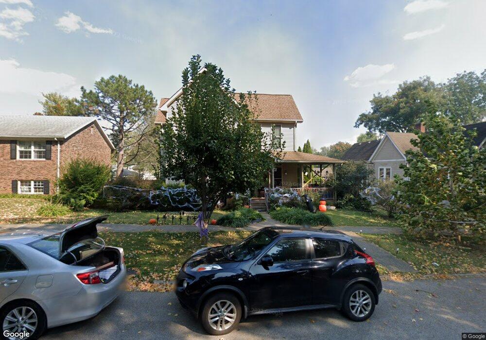
722 Mulberry St Mount Vernon, IN 47620
Estimated Value: $238,000 - $285,000
5
Beds
3
Baths
3,024
Sq Ft
$87/Sq Ft
Est. Value
About This Home
This home is located at 722 Mulberry St, Mount Vernon, IN 47620 and is currently estimated at $264,281, approximately $87 per square foot. 722 Mulberry St is a home located in Posey County with nearby schools including Mount Vernon Junior High School, Mount Vernon High School, and St. Matthew Elementary School.
Ownership History
Date
Name
Owned For
Owner Type
Purchase Details
Closed on
Nov 21, 2016
Sold by
Boarman Lee A and Boarman Laura E
Bought by
Brock John and Brock Amanda
Current Estimated Value
Home Financials for this Owner
Home Financials are based on the most recent Mortgage that was taken out on this home.
Original Mortgage
$166,693
Outstanding Balance
$135,200
Interest Rate
3.75%
Mortgage Type
FHA
Estimated Equity
$129,081
Create a Home Valuation Report for This Property
The Home Valuation Report is an in-depth analysis detailing your home's value as well as a comparison with similar homes in the area
Home Values in the Area
Average Home Value in this Area
Purchase History
| Date | Buyer | Sale Price | Title Company |
|---|---|---|---|
| Brock John | -- | Attorney |
Source: Public Records
Mortgage History
| Date | Status | Borrower | Loan Amount |
|---|---|---|---|
| Open | Brock John | $166,693 |
Source: Public Records
Tax History Compared to Growth
Tax History
| Year | Tax Paid | Tax Assessment Tax Assessment Total Assessment is a certain percentage of the fair market value that is determined by local assessors to be the total taxable value of land and additions on the property. | Land | Improvement |
|---|---|---|---|---|
| 2024 | $2,582 | $258,200 | $12,900 | $245,300 |
| 2023 | $2,142 | $214,200 | $12,900 | $201,300 |
| 2022 | $1,976 | $197,600 | $12,900 | $184,700 |
| 2021 | $1,765 | $176,500 | $12,900 | $163,600 |
| 2020 | $1,558 | $155,800 | $12,600 | $143,200 |
| 2019 | $1,510 | $151,000 | $12,600 | $138,400 |
| 2018 | $1,446 | $144,600 | $12,600 | $132,000 |
| 2017 | $1,442 | $144,200 | $13,200 | $131,000 |
| 2016 | $1,442 | $144,200 | $13,200 | $131,000 |
| 2014 | $1,405 | $140,500 | $13,200 | $127,300 |
| 2013 | $1,405 | $147,400 | $17,600 | $129,800 |
Source: Public Records
Map
Nearby Homes
- 601 N Canal St
- 427 E 5th St
- 531 E 5th St
- 1240 Mulberry St
- 10800 Hwy 69 & Along Ohio River Rd
- 1305 Locust St
- 305 Brown St
- 1230 Dereham Dr
- 507 E Water St
- 317 E Lincoln Ave
- 407 W 4th St
- 816 E Lincoln Ave
- 1300 Harriett St
- 311 W Grant St
- 718 Davis Dr
- 230 Vine St
- 1112 E 4th St
- 521 W 2nd St
- 1212 E 2nd St
- 1235 E 3rd St
- 728 Mulberry St Unit A
- 728 Mulberry St
- 728 Mulberry St Unit B
- 712 Mulberry St
- 831 Mulberry St
- 719 Locust St
- 725 Locust St
- 729 Locust St
- 709 Locust St
- 802 Mulberry St
- 723 Mulberry St
- 701 Mulberry St
- 701 Mulberry St Unit 2
- 303 E 8th St
- 701 Locust St
- 805 Mulberry St
- 810 Mulberry St
- 811 Mulberry St
- 630 Mulberry St
- 631 Locust St