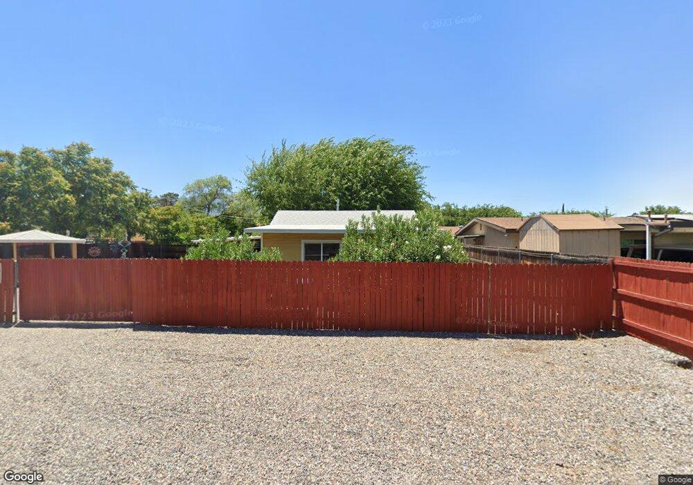
722 N 16th St Cottonwood, AZ 86326
Cottonwood NeighborhoodEstimated Value: $174,104 - $403,000
--
Bed
--
Bath
878
Sq Ft
$298/Sq Ft
Est. Value
About This Home
This home is located at 722 N 16th St, Cottonwood, AZ 86326 and is currently estimated at $262,026, approximately $298 per square foot. 722 N 16th St is a home located in Yavapai County with nearby schools including Cottonwood Elementary School, Dr Daniel Bright Elementary School, and Cottonwood Community School.
Ownership History
Date
Name
Owned For
Owner Type
Purchase Details
Closed on
Jun 20, 2008
Sold by
Hunter Lewis R and Hunter Pamela B
Bought by
Brown Maxie D and Brown Susan L
Current Estimated Value
Create a Home Valuation Report for This Property
The Home Valuation Report is an in-depth analysis detailing your home's value as well as a comparison with similar homes in the area
Home Values in the Area
Average Home Value in this Area
Purchase History
| Date | Buyer | Sale Price | Title Company |
|---|---|---|---|
| Brown Maxie D | $160,000 | Transnation Title Ins Co |
Source: Public Records
Tax History Compared to Growth
Tax History
| Year | Tax Paid | Tax Assessment Tax Assessment Total Assessment is a certain percentage of the fair market value that is determined by local assessors to be the total taxable value of land and additions on the property. | Land | Improvement |
|---|---|---|---|---|
| 2026 | $585 | $12,711 | -- | -- |
| 2024 | $574 | $12,449 | -- | -- |
| 2023 | $574 | $9,910 | $2,885 | $7,025 |
| 2022 | $571 | $7,718 | $1,890 | $5,828 |
| 2021 | $603 | $7,515 | $2,251 | $5,264 |
| 2020 | $598 | $0 | $0 | $0 |
| 2019 | $594 | $0 | $0 | $0 |
| 2018 | $573 | $0 | $0 | $0 |
| 2017 | $551 | $0 | $0 | $0 |
| 2016 | $540 | $0 | $0 | $0 |
| 2015 | -- | $0 | $0 | $0 |
| 2014 | $347 | $0 | $0 | $0 |
Source: Public Records
Map
Nearby Homes
- 902 N 14th St
- 1630 E Coconino St Unit 37
- 635 N Main St
- 1203 E Cochise St
- 1040 E Mingus Unit C Ave Unit C
- 607 N 8th St
- 1013 E Mingus Ave
- 985 E Mingus Ave Unit 624
- 0 E Aspen St
- 280 S Main St
- 677 E Mingus Ave
- 1065 Crenshaw
- 318 E Pinal St
- 925 N 2nd St
- 330 S 17th Place
- 107 E Pinal St
- 1461 E Cherry St
- 565 N Willard Dr
- 425 S Main St
- 290 S 6th Place