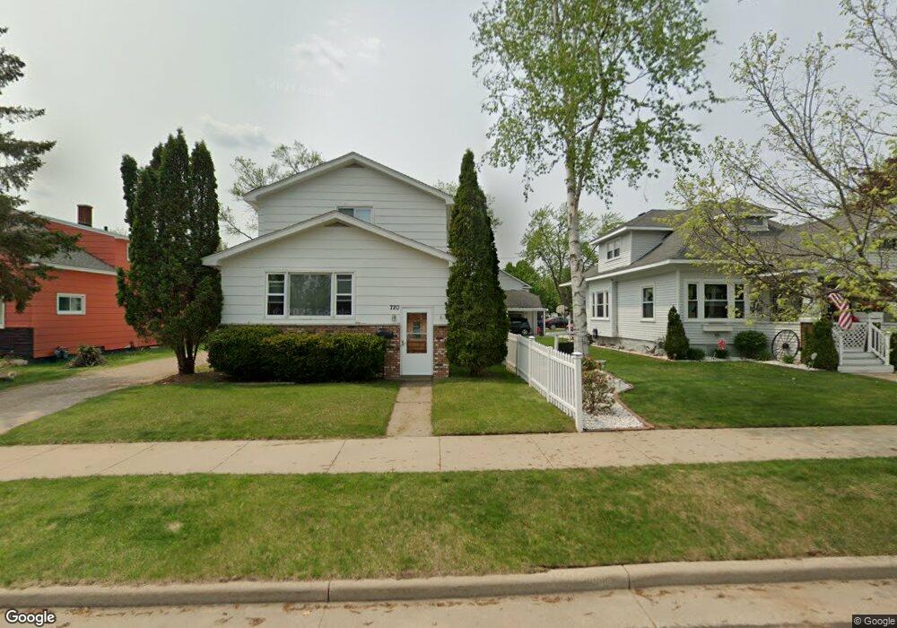
722 N 5th Ave Wausau, WI 54401
Estimated Value: $153,000 - $181,236
2
Beds
2
Baths
--
Sq Ft
6,098
Sq Ft Lot
About This Home
This home is located at 722 N 5th Ave, Wausau, WI 54401 and is currently estimated at $164,809. 722 N 5th Ave is a home located in Marathon County with nearby schools including Grant Elementary School, John Muir Middle School, and West High School.
Ownership History
Date
Name
Owned For
Owner Type
Purchase Details
Closed on
Nov 16, 2018
Sold by
Foss Robert A
Bought by
Soczka James R and Southworth Melissa S
Current Estimated Value
Home Financials for this Owner
Home Financials are based on the most recent Mortgage that was taken out on this home.
Original Mortgage
$86,330
Outstanding Balance
$75,755
Interest Rate
4.7%
Mortgage Type
New Conventional
Estimated Equity
$89,054
Purchase Details
Closed on
Feb 29, 2008
Sold by
Westphal Judith M and Nienow Mary D
Bought by
Foss Robert A
Create a Home Valuation Report for This Property
The Home Valuation Report is an in-depth analysis detailing your home's value as well as a comparison with similar homes in the area
Home Values in the Area
Average Home Value in this Area
Purchase History
| Date | Buyer | Sale Price | Title Company |
|---|---|---|---|
| Soczka James R | $89,000 | None Available | |
| Foss Robert A | $72,000 | None Available |
Source: Public Records
Mortgage History
| Date | Status | Borrower | Loan Amount |
|---|---|---|---|
| Open | Soczka James R | $86,330 |
Source: Public Records
Tax History Compared to Growth
Tax History
| Year | Tax Paid | Tax Assessment Tax Assessment Total Assessment is a certain percentage of the fair market value that is determined by local assessors to be the total taxable value of land and additions on the property. | Land | Improvement |
|---|---|---|---|---|
| 2024 | $2,733 | $120,700 | $15,700 | $105,000 |
| 2023 | $2,594 | $89,000 | $15,100 | $73,900 |
| 2022 | $2,641 | $89,000 | $15,100 | $73,900 |
| 2021 | $1,857 | $89,000 | $15,100 | $73,900 |
| 2020 | $2,163 | $89,000 | $15,100 | $73,900 |
| 2019 | $2,273 | $87,200 | $9,900 | $77,300 |
| 2018 | $2,028 | $79,200 | $9,900 | $69,300 |
| 2017 | $1,956 | $79,200 | $9,900 | $69,300 |
| 2016 | $1,902 | $79,200 | $9,900 | $69,300 |
| 2015 | $1,951 | $79,200 | $9,900 | $69,300 |
| 2014 | $1,917 | $81,700 | $15,100 | $66,600 |
Source: Public Records
Map
Nearby Homes
- 802 N 9th Ave
- 706 N 9th Ave
- 817 N 2nd Ave
- 515 N 8th Ave
- 614 N 10th Ave
- 908 N 10th Ave
- 427 N 6th Ave
- 1104 Holub St
- 108 W Strowbridge St
- 102 E Strowbridge St
- 1111 Pine St
- 501 N 12th Ave
- 328 N 11th Ave
- 314 N 10th Ave
- 1311 N 4th Ave
- 1505 Graham St
- 1514 Brady St
- 1508 Merrill Ave Unit 311
- 1508 Merrill Ave Unit 213
- 1509 N 1st Ave
- 720 N 5th Ave
- 728 N 5th Ave
- 718 N 5th Ave
- 714 N 5th Ave
- 719 N 6th Ave
- 515 Norton St
- 715 N 6th Ave
- 802 N 5th Ave
- 721 N 5th Ave
- 723 N 5th Ave
- 710 N 5th Ave
- 715 N 5th Ave
- 711 N 6th Ave
- 512 Norton St
- 804 N 5th Ave
- 713 N 5th Ave
- Lot 8 Little Brook Meadows
- Lot 2 Little Brook Meadows
- 46 Acres Naugart Dr
- 53 Acres Sandy Dr