722 N 6th St Unit N Saint Clair, MI 48079
Estimated Value: $169,000 - $206,000
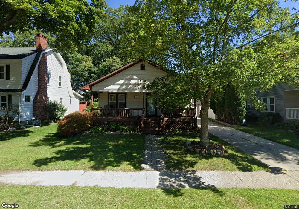
About This Home
This home is located at 722 N 6th St Unit N, Saint Clair, MI 48079 and is currently estimated at $191,102, approximately $213 per square foot. 722 N 6th St Unit N is a home located in St. Clair County with nearby schools including Gearing Elementary School, St. Clair Middle School, and St. Clair High School.
Ownership History
We collect this data history from publicly available records. To have your information removed, we recommend requesting removal directly through your county’s website.
Purchase Details
Purchase Details
Purchase Details
Home Financials for this Owner
Home Financials are based on the most recent Mortgage that was taken out on this home.Purchase Details
Home Financials for this Owner
Home Financials are based on the most recent Mortgage that was taken out on this home.Home Values in the Area
Average Home Value in this Area
Purchase History
We collect this data history from publicly available records. To have your information removed, we recommend requesting removal directly through your county’s website.
| Date | Buyer | Sale Price | Title Company |
|---|---|---|---|
| -- | None Listed On Document | ||
| -- | None Listed On Document | ||
| -- | None Available | ||
| $115,000 | Ata National Title | ||
| $141,000 | Metropolitan Title Company |
Mortgage History
We collect this data history from publicly available records. To have your information removed, we recommend requesting removal directly through your county’s website.
| Date | Status | Borrower | Loan Amount |
|---|---|---|---|
| Previous Owner | $103,410 | ||
| Previous Owner | $141,000 |
Tax History
We collect this data history from publicly available records. To have your information removed, we recommend requesting removal directly through your county’s website.
| Year | Tax Paid | Tax Assessment Tax Assessment Total Assessment is a certain percentage of the fair market value that is determined by local assessors to be the total taxable value of land and additions on the property. | Land | Improvement |
|---|---|---|---|---|
| 2025 | $2,121 | $78,600 | $0 | $0 |
| 2024 | $2,064 | $72,800 | $0 | $0 |
| 2023 | $1,936 | $74,100 | $0 | $0 |
| 2022 | $2,131 | $66,300 | $0 | $0 |
| 2020 | $2,015 | $56,700 | $56,700 | $0 |
| 2019 | $1,903 | $51,900 | $0 | $0 |
| 2018 | $1,915 | $41,800 | $0 | $0 |
| 2016 | $1,922 | $40,400 | $0 | $0 |
| 2015 | -- | $37,100 | $37,100 | $0 |
| 2014 | -- | $35,900 | $35,900 | $0 |
| 2013 | -- | $33,600 | $0 | $0 |
Map
- 738 N 9th St
- 832 N 9th St
- 409 N 5th St
- 412 Orchard St
- 663 N Riverside Ave
- 560 N Riverside Ave
- 201 N Riverside Ave Unit B-7
- 791 Snowbird Cir E
- 676 Snowbird Cir W
- 206 S 4th St
- 673 Snowbird Cir W
- 785 Snowbird Cir W Unit 19
- 504 Clinton Ave
- TBD Range
- 983 N Riverside Ave
- 715 S 9th St
- 2 Riley
- 1560 N Delano St
- 211 N Carney Dr
- 913 Cedar St
Ask me questions while you tour the home.