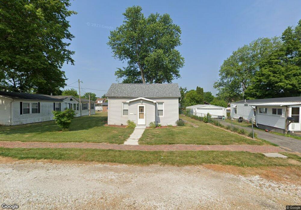
722 N Elm St Lewistown, IL 61542
Estimated Value: $72,000 - $89,000
2
Beds
2
Baths
1,264
Sq Ft
$64/Sq Ft
Est. Value
About This Home
This home is located at 722 N Elm St, Lewistown, IL 61542 and is currently estimated at $80,377, approximately $63 per square foot. 722 N Elm St is a home located in Fulton County with nearby schools including Central Elementary School, Lewistown Elementary School, and Lewistown Junior/Senior High School.
Ownership History
Date
Name
Owned For
Owner Type
Purchase Details
Closed on
Mar 27, 2020
Sold by
Harn Daniel O and Harn Mary S
Bought by
Duncan Ashlee R
Current Estimated Value
Purchase Details
Closed on
Aug 24, 2017
Sold by
Tara Mccombs
Bought by
Harn Daniel O
Home Financials for this Owner
Home Financials are based on the most recent Mortgage that was taken out on this home.
Original Mortgage
$41,000
Interest Rate
4.03%
Mortgage Type
New Conventional
Purchase Details
Closed on
Jan 27, 2012
Sold by
Littlefieldelmer Littlefieldelmer R and Littlefieldelmer Christy
Bought by
Beekmanlorie
Create a Home Valuation Report for This Property
The Home Valuation Report is an in-depth analysis detailing your home's value as well as a comparison with similar homes in the area
Home Values in the Area
Average Home Value in this Area
Purchase History
| Date | Buyer | Sale Price | Title Company |
|---|---|---|---|
| Duncan Ashlee R | -- | Attorney Only | |
| Harn Daniel O | $45,500 | Attorney Only | |
| Beekmanlorie | $51,000 | -- |
Source: Public Records
Mortgage History
| Date | Status | Borrower | Loan Amount |
|---|---|---|---|
| Previous Owner | Harn Daniel O | $41,000 |
Source: Public Records
Tax History Compared to Growth
Tax History
| Year | Tax Paid | Tax Assessment Tax Assessment Total Assessment is a certain percentage of the fair market value that is determined by local assessors to be the total taxable value of land and additions on the property. | Land | Improvement |
|---|---|---|---|---|
| 2024 | $696 | $15,810 | $1,690 | $14,120 |
| 2023 | $696 | $15,130 | $1,620 | $13,510 |
| 2022 | $694 | $15,130 | $1,620 | $13,510 |
| 2021 | $694 | $12,390 | $1,620 | $10,770 |
| 2020 | $1,186 | $11,980 | $1,570 | $10,410 |
| 2019 | $1,213 | $12,170 | $1,590 | $10,580 |
| 2018 | $599 | $11,940 | $1,560 | $10,380 |
| 2017 | $1,165 | $11,940 | $1,560 | $10,380 |
| 2016 | $1,153 | $11,530 | $1,510 | $10,020 |
| 2015 | $1,151 | $11,530 | $1,510 | $10,020 |
| 2013 | -- | $11,230 | $1,470 | $9,760 |
| 2012 | -- | $10,950 | $1,430 | $9,520 |
Source: Public Records
Map
Nearby Homes
- 602 E Nimintz Ave
- 428 N Main St
- 1026 N Main St
- 101 W Macarthur Ave
- 111 N Broadway St
- 1428 N Main St
- 376 W Euclid Ave
- 704 S Main St
- 15937 U S 24
- 330 W Avenue G
- 13 Melrose Ln
- 0 N Highway 9 County Rd Unit RMAPA1260470
- 1124 S Illinois St
- 000 Highway 24
- 16853 N Wright Rd
- 12676 E County 14 Hwy
- County 14 Lot Unit WP001
- 14953 E Grain Bin Rd
- 10206 E County 14 Hwy
- 637 E Polk St