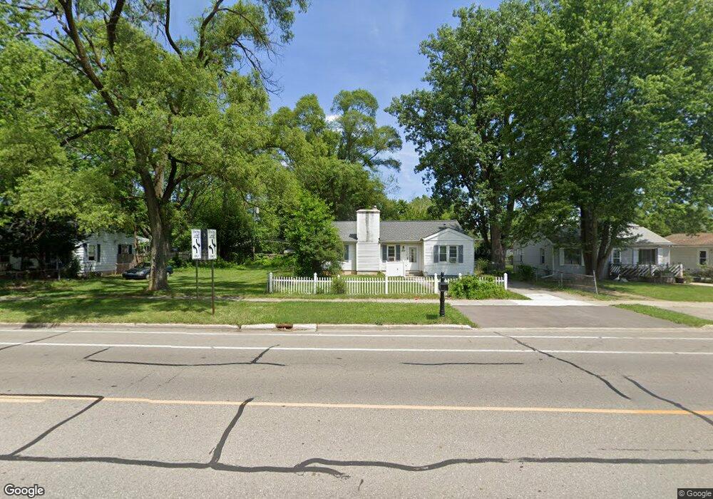
722 N Ford Blvd Ypsilanti, MI 48198
Estimated Value: $186,000 - $231,000
3
Beds
1
Bath
984
Sq Ft
$204/Sq Ft
Est. Value
About This Home
This home is located at 722 N Ford Blvd, Ypsilanti, MI 48198 and is currently estimated at $200,368, approximately $203 per square foot. 722 N Ford Blvd is a home located in Washtenaw County with nearby schools including Holmes Elementary School, Erickson Elementary School, and Estabrook Elementary School.
Ownership History
Date
Name
Owned For
Owner Type
Purchase Details
Closed on
Nov 1, 2002
Sold by
Frame Barbara A
Bought by
Frame Allison Emily
Current Estimated Value
Purchase Details
Closed on
Sep 29, 1997
Sold by
Stephens James E
Bought by
Barbara A Frame
Home Financials for this Owner
Home Financials are based on the most recent Mortgage that was taken out on this home.
Original Mortgage
$74,700
Interest Rate
7.65%
Mortgage Type
FHA
Create a Home Valuation Report for This Property
The Home Valuation Report is an in-depth analysis detailing your home's value as well as a comparison with similar homes in the area
Home Values in the Area
Average Home Value in this Area
Purchase History
| Date | Buyer | Sale Price | Title Company |
|---|---|---|---|
| Frame Allison Emily | -- | -- | |
| Barbara A Frame | $74,900 | -- |
Source: Public Records
Mortgage History
| Date | Status | Borrower | Loan Amount |
|---|---|---|---|
| Previous Owner | Barbara A Frame | $74,700 |
Source: Public Records
Tax History Compared to Growth
Tax History
| Year | Tax Paid | Tax Assessment Tax Assessment Total Assessment is a certain percentage of the fair market value that is determined by local assessors to be the total taxable value of land and additions on the property. | Land | Improvement |
|---|---|---|---|---|
| 2025 | -- | $80,900 | $0 | $0 |
| 2024 | $987 | $72,500 | $0 | $0 |
| 2023 | $1,078 | $63,300 | $0 | $0 |
| 2022 | $1,028 | $54,700 | $0 | $0 |
| 2021 | $1,539 | $47,700 | $0 | $0 |
| 2020 | $1,519 | $41,400 | $0 | $0 |
| 2019 | $523 | $39,000 | $39,000 | $0 |
| 2018 | $0 | $32,700 | $0 | $0 |
| 2017 | $1,314 | $29,800 | $0 | $0 |
| 2016 | $866 | $24,950 | $0 | $0 |
| 2015 | $1,249 | $24,876 | $0 | $0 |
| 2014 | $1,249 | $24,100 | $0 | $0 |
| 2013 | -- | $24,100 | $0 | $0 |
Source: Public Records
Map
Nearby Homes
- 819 N Harris Rd
- 808 Lamay Ave
- 1060 Commonwealth Ave
- 24 Broadmoor
- 1252 Pageant Ave
- 190 Emerson Ave
- 1066 Holmes Rd
- 1404 Fall River Rd
- 339 Ohio St
- 211 Devonshire St
- 207 Oregon St
- 1161 Rambling Rd
- 1244 Lexington Pkwy
- 1349 Candlewood Ln
- 278 Oregon St
- 1043 Rue Deauville Blvd
- 270 Ohio St
- 281 Ohio St
- 366 S Harris Rd
- 8843 Nottingham Dr
- 720 N Ford Blvd
- 724 N Ford Blvd
- 714 N Ford Blvd
- 740 N Ford Blvd
- 747 Allen Rd
- 708 N Ford Blvd
- 755 Allen Rd
- 750 N Ford Blvd
- 1541 E Forest Ave
- 759 Allen Ave
- 780 N Ford Blvd
- 759 Allen Rd
- 721 N Ford Blvd
- 717 N Ford Blvd
- 729 N Ford Blvd
- 713 N Ford Blvd
- 735 N Ford Blvd
- 788 N Ford Blvd
- 785 Allen Rd
- 1509 E Forest Ave