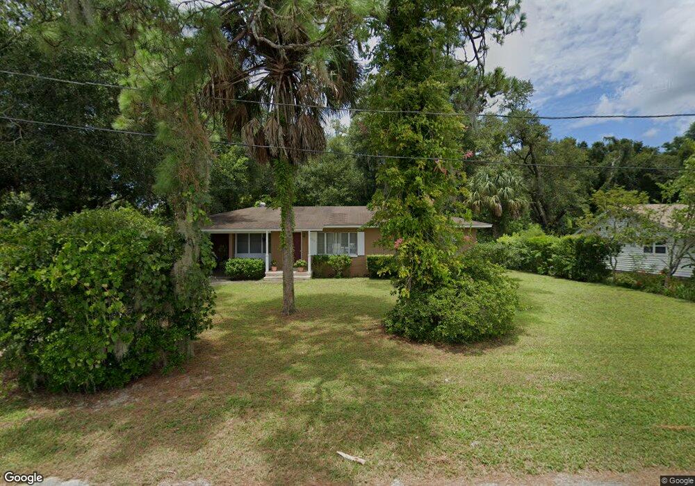
722 N High St Deland, FL 32720
Estimated Value: $210,078 - $249,000
2
Beds
1
Bath
1,064
Sq Ft
$215/Sq Ft
Est. Value
About This Home
This home is located at 722 N High St, Deland, FL 32720 and is currently estimated at $228,270, approximately $214 per square foot. 722 N High St is a home located in Volusia County with nearby schools including Citrus Grove Elementary, Deland High School, and Southwestern Middle School.
Ownership History
Date
Name
Owned For
Owner Type
Purchase Details
Closed on
Apr 29, 2025
Sold by
Field William P and Field Jeanne Goff
Bought by
Field Real Estate Development Llc
Current Estimated Value
Purchase Details
Closed on
Sep 2, 2005
Sold by
Field Jeanne Goff
Bought by
Field William P and Field Jeanne Goff
Purchase Details
Closed on
Nov 15, 1984
Bought by
Field William P
Purchase Details
Closed on
Sep 15, 1976
Bought by
Field William P
Create a Home Valuation Report for This Property
The Home Valuation Report is an in-depth analysis detailing your home's value as well as a comparison with similar homes in the area
Home Values in the Area
Average Home Value in this Area
Purchase History
| Date | Buyer | Sale Price | Title Company |
|---|---|---|---|
| Field Real Estate Development Llc | $100 | None Listed On Document | |
| Field Real Estate Development Llc | $100 | None Listed On Document | |
| Field William P | -- | -- | |
| Field William P | $44,500 | -- | |
| Field William P | $22,000 | -- |
Source: Public Records
Tax History Compared to Growth
Tax History
| Year | Tax Paid | Tax Assessment Tax Assessment Total Assessment is a certain percentage of the fair market value that is determined by local assessors to be the total taxable value of land and additions on the property. | Land | Improvement |
|---|---|---|---|---|
| 2025 | $2,362 | $156,227 | $53,089 | $103,138 |
| 2024 | $2,362 | $157,192 | $53,089 | $104,103 |
| 2023 | $2,362 | $139,726 | $36,754 | $102,972 |
| 2022 | $2,216 | $132,563 | $36,754 | $95,809 |
| 2021 | $2,092 | $107,710 | $24,503 | $83,207 |
| 2020 | $1,917 | $99,363 | $23,277 | $76,086 |
| 2019 | $1,813 | $88,481 | $20,419 | $68,062 |
| 2018 | $1,718 | $80,364 | $15,110 | $65,254 |
| 2017 | $1,600 | $70,314 | $14,652 | $55,662 |
| 2016 | $1,443 | $65,266 | $0 | $0 |
| 2015 | $1,333 | $56,170 | $0 | $0 |
| 2014 | $1,279 | $53,710 | $0 | $0 |
Source: Public Records
Map
Nearby Homes
- 718 W Hogle Ave
- 727 N Stone St
- 0 W Plymouth Ave
- 748 W Florence Ave
- 600 N Boundary Ave Unit 119B
- 600 N Boundary Ave Unit 106-D
- 600 N Boundary Ave Unit 114-C
- 600 N Boundary Ave Unit 114B
- 600 N Boundary Ave Unit 110A
- 600 W Hogle Ave
- 1096 Cades Cove Way
- 733 Maple Oak Dr
- Malory Plan at Delaney Reserve
- Abbey Plan at Delaney Reserve
- 1669 N Stone St
- 0 N Stone St
- 1675 N Stone St
- 710 Florida Elm Ct
- 706 Florida Elm Ct
- 702 Florida Elm Ct
- 730 N High St
- 720 N High St
- 803 W Hogle Ave
- 830 W Oakdale Ave
- 723 N High St
- 739 W Hogle Ave
- 736 W Oakdale Ave
- 809 W Hogle Ave
- 836 W Plymouth Ave
- 731 W Hogle Ave
- 810 W Hogle Ave
- 734 W Oakdale Ave
- 830 W Hogle Ave
- 800 W Hogle Ave
- 820 W Oakdale Ave
- 840 W Hogle Ave
- 738 W Hogle Ave
- 720 W Oakdale Ave
- 727 W Hogle Ave
- 850 W Hogle Ave