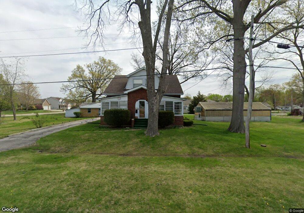
722 N Jefferson St Mascoutah, IL 62258
Estimated Value: $198,000 - $285,000
4
Beds
1
Bath
1,620
Sq Ft
$155/Sq Ft
Est. Value
About This Home
This home is located at 722 N Jefferson St, Mascoutah, IL 62258 and is currently estimated at $251,490, approximately $155 per square foot. 722 N Jefferson St is a home located in St. Clair County with nearby schools including Mascoutah High School and Holy Childhood of Jesus School.
Ownership History
Date
Name
Owned For
Owner Type
Purchase Details
Closed on
Feb 28, 2005
Sold by
Kalish Linda S
Bought by
Ernst David D
Current Estimated Value
Home Financials for this Owner
Home Financials are based on the most recent Mortgage that was taken out on this home.
Original Mortgage
$120,650
Outstanding Balance
$62,217
Interest Rate
5.87%
Mortgage Type
Purchase Money Mortgage
Estimated Equity
$189,273
Create a Home Valuation Report for This Property
The Home Valuation Report is an in-depth analysis detailing your home's value as well as a comparison with similar homes in the area
Home Values in the Area
Average Home Value in this Area
Purchase History
| Date | Buyer | Sale Price | Title Company |
|---|---|---|---|
| Ernst David D | $127,000 | Chicago Title |
Source: Public Records
Mortgage History
| Date | Status | Borrower | Loan Amount |
|---|---|---|---|
| Open | Ernst David D | $120,650 |
Source: Public Records
Tax History Compared to Growth
Tax History
| Year | Tax Paid | Tax Assessment Tax Assessment Total Assessment is a certain percentage of the fair market value that is determined by local assessors to be the total taxable value of land and additions on the property. | Land | Improvement |
|---|---|---|---|---|
| 2024 | $5,844 | $78,652 | $11,817 | $66,835 |
| 2023 | $5,581 | $71,881 | $10,800 | $61,081 |
| 2022 | $5,537 | $65,418 | $9,829 | $55,589 |
| 2021 | $5,302 | $61,588 | $9,520 | $52,068 |
| 2020 | $5,084 | $57,770 | $8,930 | $48,840 |
| 2019 | $4,969 | $57,770 | $8,930 | $48,840 |
| 2018 | $4,868 | $56,218 | $8,690 | $47,528 |
| 2017 | $4,867 | $53,688 | $9,393 | $44,295 |
| 2016 | $4,818 | $52,916 | $9,258 | $43,658 |
| 2014 | $4,272 | $51,706 | $9,046 | $42,660 |
| 2013 | $3,401 | $50,973 | $8,918 | $42,055 |
Source: Public Records
Map
Nearby Homes
- 633 Moorland Cir
- 414 Turquoise Ct
- 841 Topaz Ct
- 847 Topaz Ct
- 3 W Patterson St
- 25 W Oak St
- 612 N 1st St
- 57 W Patterson St
- 108 E Main St
- 118 W Green St
- 124 W State St
- 1117 Gulfstream Way
- 1125 Gulfstream Way
- 344 Douglas Ave Unit B
- 1135 Lear Ln
- 1153 Gulfstream Way
- 9715 Winchester St
- 500 N 9th St
- 1204 Lear Ln
- 326 S 5th St
- 714 N Jefferson St
- 557 Bluestone Ct
- 551 Bluestone Ct
- 301 Whetstone Ln
- 710 N Jefferson St
- 305 Whetstone Ln
- 704 N Independence St
- 556 Bluestone Ct
- 316 E Harnett St
- 401 Whetstone Ln
- 552 Bluestone Ct
- 608 N Jefferson St
- 548 Bluestone Ct
- 700 Fountain View Dr Unit C
- 700 Fountain View Dr
- 700 Fountain View Dr
- 405 Whetstone Ln
- 610 N Independence St
- 523 N Independence St
- 611 N Jefferson St