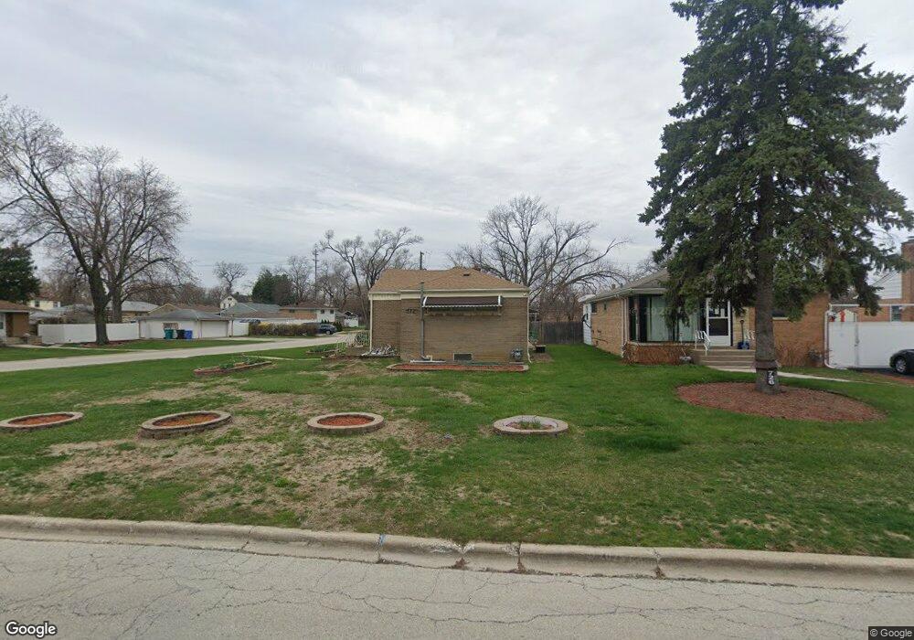
722 N Lee Blvd Hillside, IL 60162
Estimated Value: $253,000 - $310,000
3
Beds
1
Bath
1,122
Sq Ft
$250/Sq Ft
Est. Value
About This Home
This home is located at 722 N Lee Blvd, Hillside, IL 60162 and is currently estimated at $280,829, approximately $250 per square foot. 722 N Lee Blvd is a home located in Cook County with nearby schools including Macarthur Intermediate School, Sunnyside Elementary School, and Proviso West High School.
Ownership History
Date
Name
Owned For
Owner Type
Purchase Details
Closed on
Dec 29, 2007
Sold by
Tran Ha and Tran Tommy
Bought by
Tran Ha and Ha Tran Living Trust
Current Estimated Value
Purchase Details
Closed on
Nov 24, 2004
Sold by
Perger Fred K
Bought by
Tran Ha and Tran Tommy M
Home Financials for this Owner
Home Financials are based on the most recent Mortgage that was taken out on this home.
Original Mortgage
$142,500
Outstanding Balance
$71,791
Interest Rate
5.82%
Mortgage Type
Unknown
Estimated Equity
$209,038
Create a Home Valuation Report for This Property
The Home Valuation Report is an in-depth analysis detailing your home's value as well as a comparison with similar homes in the area
Home Values in the Area
Average Home Value in this Area
Purchase History
| Date | Buyer | Sale Price | Title Company |
|---|---|---|---|
| Tran Ha | -- | None Available | |
| Tran Ha | $190,000 | Git |
Source: Public Records
Mortgage History
| Date | Status | Borrower | Loan Amount |
|---|---|---|---|
| Open | Tran Ha | $142,500 |
Source: Public Records
Tax History Compared to Growth
Tax History
| Year | Tax Paid | Tax Assessment Tax Assessment Total Assessment is a certain percentage of the fair market value that is determined by local assessors to be the total taxable value of land and additions on the property. | Land | Improvement |
|---|---|---|---|---|
| 2024 | $1,336 | $23,000 | $5,089 | $17,911 |
| 2023 | $4,629 | $23,000 | $5,089 | $17,911 |
| 2022 | $4,629 | $17,070 | $3,470 | $13,600 |
| 2021 | $5,453 | $18,154 | $3,469 | $14,685 |
| 2020 | $6,824 | $18,154 | $3,469 | $14,685 |
| 2019 | $5,802 | $15,978 | $3,238 | $12,740 |
| 2018 | $5,732 | $15,978 | $3,238 | $12,740 |
| 2017 | $5,522 | $15,978 | $3,238 | $12,740 |
| 2016 | $4,987 | $13,734 | $3,007 | $10,727 |
| 2015 | $4,824 | $13,734 | $3,007 | $10,727 |
| 2014 | $4,762 | $13,734 | $3,007 | $10,727 |
| 2013 | $5,102 | $15,675 | $3,007 | $12,668 |
Source: Public Records
Map
Nearby Homes
- 605 N Wolf Rd Unit B9
- 605 N Wolf Rd Unit C12
- 1509 Morris Ave
- 514 Iroquois Rd
- 520 N Wolf Rd Unit 301
- 1429 N Wolf Rd
- 408 51st Ave
- 502 Clayton Rd
- 1521 N Hillside Ave
- 612 N Hillside Ave
- 4718 Butterfield Rd
- 5628 W Hawthorne Ave
- 549 51st Ave
- 241 51st Ave
- 529 49th Ave
- 335 Buckthorn Ln
- 5011 Saint Charles Rd Unit 301
- 5011 Saint Charles Rd Unit 101
- 1419 N Ashbel Ave
- 1428 1/2 N Ashbel Ave